Grintovec via Dolge stene
Route scheme
Trip overview
Grintovec at 2,558 meters is the highest peak of the Kamnik–Savinja Alps in northern Slovenia. It is accessible via several marked routes, with the most common ascent starting from the Kamniška Bistrica Valley through the Zois Lodge at Kokra Saddle. We will try another trail that runs from Suhadolnik site above Kokra. This starting point is easier accessible when travelling from Austria.
We start from the parking below the site of Suhadolnik, take the trail that goes along the bottom of the valley. In spots with fallen trees and landslide try to keep to the left side, it is most approachable. Next we continue over scree overrunning the forest and look for branch off to the right. Trail čez Taško is closed, that’s the only way up. There is still a bit of jumping around in the upcoming gorge which was also hit by the torrential rain and part of original path is washed away. It is more irritating than difficult however we need to be cautious now and then. Above the gorge we enter a rocky face through grassy steps and ledges and finally worst part is over. We follow the trail up through the forest, some alpine meadows (Suhadolnikova planina) and finally cut through dwarf pine terrain to the Kokra Saddle. Honestly that’s a really picturesque place, with Zois Lodge at Kokra Saddle mountain hut (Cojzova koča) neatly squeezed into limited space between rocky walls towering around.
From Kokra saddle we head in direction of Skuta, ascend for another 100 meters and just before a tunnel-like passage with Skuta sign on it we turn left (there’s a indistinct path) on the grassy culmination. This is already Grintovec Dolge Stene that will get more rocky with elevation. Walking here is quite pleasant, there are really good views into central part of Kamnik–Savinja Alps. The path is not distinct and is not marked- at least it wasn’ for us with patches of snow lying here and there but the terrain is not demanding and setting up your own variant works fine for most of the route - generally try to stay on the ridge. At around 2350 meters the ridge steepens and to keep its walking character we need to leave the actual ridge a bit and traverse to the left, however not very far. Here the path is more distinct and there are lots of cairns that will help us keep on the path. There will be moment we will need to use hands, but the difficulty doesn’t even reach II grade. There is some exposition and some brittle rock but the route is fairly easy. After 150 meters of ascent we reach the main massif of Grintovec and after another 50 physical meters we get to the top.
From the top of Grintovec we take a marked trail through so called Streha which is a south-facing mild slope which was really nice to descend in snowy conditions. Might be it runs via a crumbly path that we entered 400 meters below the peak where the snow was already melted. Descent continues back to Kokra saddle from where we take the same path as the ascent one.
If you feel under-challenged so far you might want to take the path in direction of Dolica Jezerska Kocna. It is really view-rewarding trail but also mentally challenging as we need to move along narrow path that runs in exposed passages. From Dolci (shelter available here) we head back to Suhadolnikova planina again in narrow, exposed and very steep at moments path. There is some protection on the way, there are also stretches we need to climb up again to pass through. This path does not look frequented very often. Once in Suhadolnikova planina we continue down taking the path we used for ascent.
Trip conditions
Weather:
Chilly air, even in lower sections, luckily thanks to the sun it wasn't freezing. With the wind around 0 degrees at the top.
Trail:
Tourist trails are marked well, there are also clear warnings about closed sections. Lower part of the trail suffered because of a hefty downpour, there is massive landslide in places because of the that. There are many parts that need to by-passed now and the flow of the route has been changed due to that. Trail čez Taško is closed. Be prepared for some scrambling in these sections.
According to official Slovenian website regarding mountain trails presented route up to Kokrske sedlo pass is closed. This however was not the case in the field. Only the part čez Taško was closed.
Additional information
Tips and author's comments:
Walking in the forest which ground is totally covered by scree was an interesting experience. Landscape of the route is really uncanny.
Dolci descent path is more for connoisseurs I would say, requires constant focus and the vegetation is quite overgrown there. Doesn't look used very often - which I could tell by the number of ticks I collected on the way. Still it offers a solitude experience and interesting views. We were also able to spot numerous chamois roaming around. Like mentioned, choose only if you feel under-challenged so far.
Links:Dolci descent trail
Dangers:
Risk of slipping in the lower parts due to landslide damage. The ridge of Dolge stene is partly and indirectly exposed. For us the biggest challenge was the snow in last 20 meters before reaching the main Grintovec ridge.
Make sure to protect yourself against ticks, these came in tons when descending from Dolci.
Gear used:
ascent shoes, hiking poles, 35l rucksack, winter boots, crampons, pickaxe
Transportation:
Starting point reached by car. In Kokra we drive 200 meters up the forest road. It is an asphalt road first and then gravel one, upper part of the road is in mediocre condition due to landslide. We park the car below the site of Suhadolnik. I wouldn't recommend that road if you are sensitive about your car suspension, there are signs of damage caused by the rain. The road is passable of course, just not in the best condition in some sections. However it saves around 200m of ascent.
Links:Parking location
Accommodation:
Zois Lodge at Kokra Saddle - Cojzova koča mountain hut might be worth to check out
Links:Zois Lodge
Trip photos
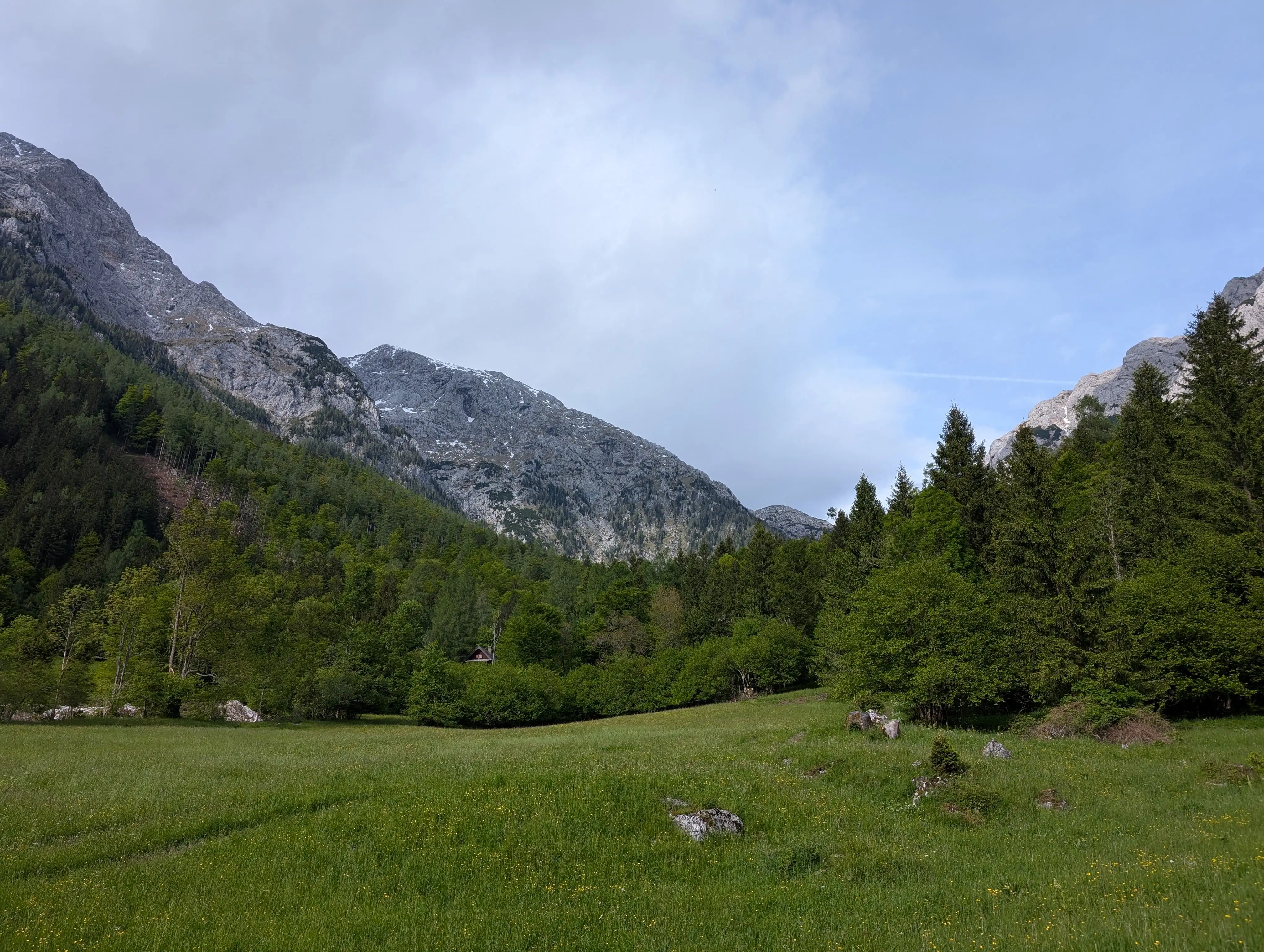 View from Suhadolnik meadow in the direction of Grintovec, that's the peak stretching from the center of the image to the left, covered at some point by Jezerska Kočna on the left.
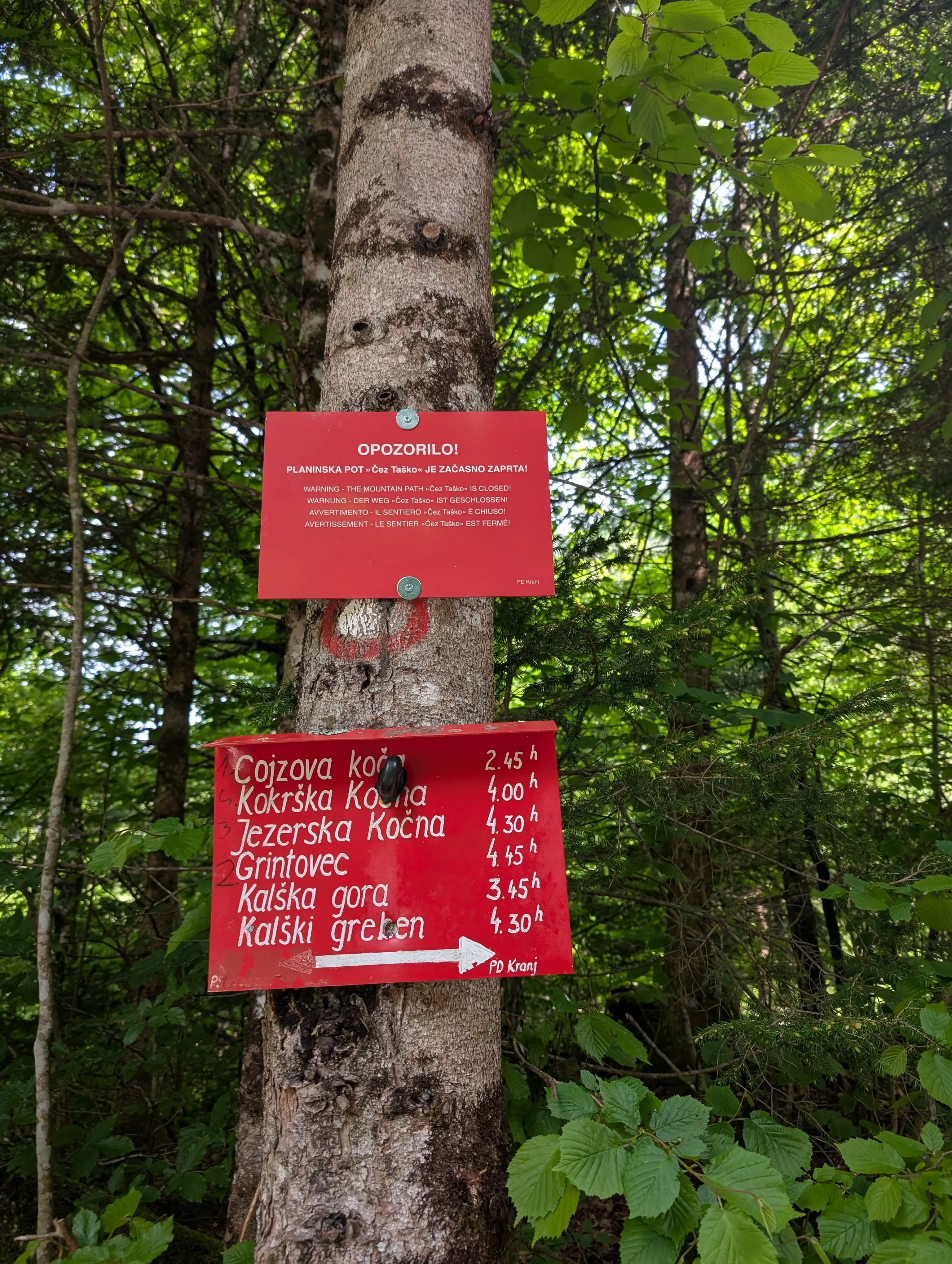 Timetable signpost at Suhadolnik parking lot. These times seems reasonable - at least the one to Grintovec.
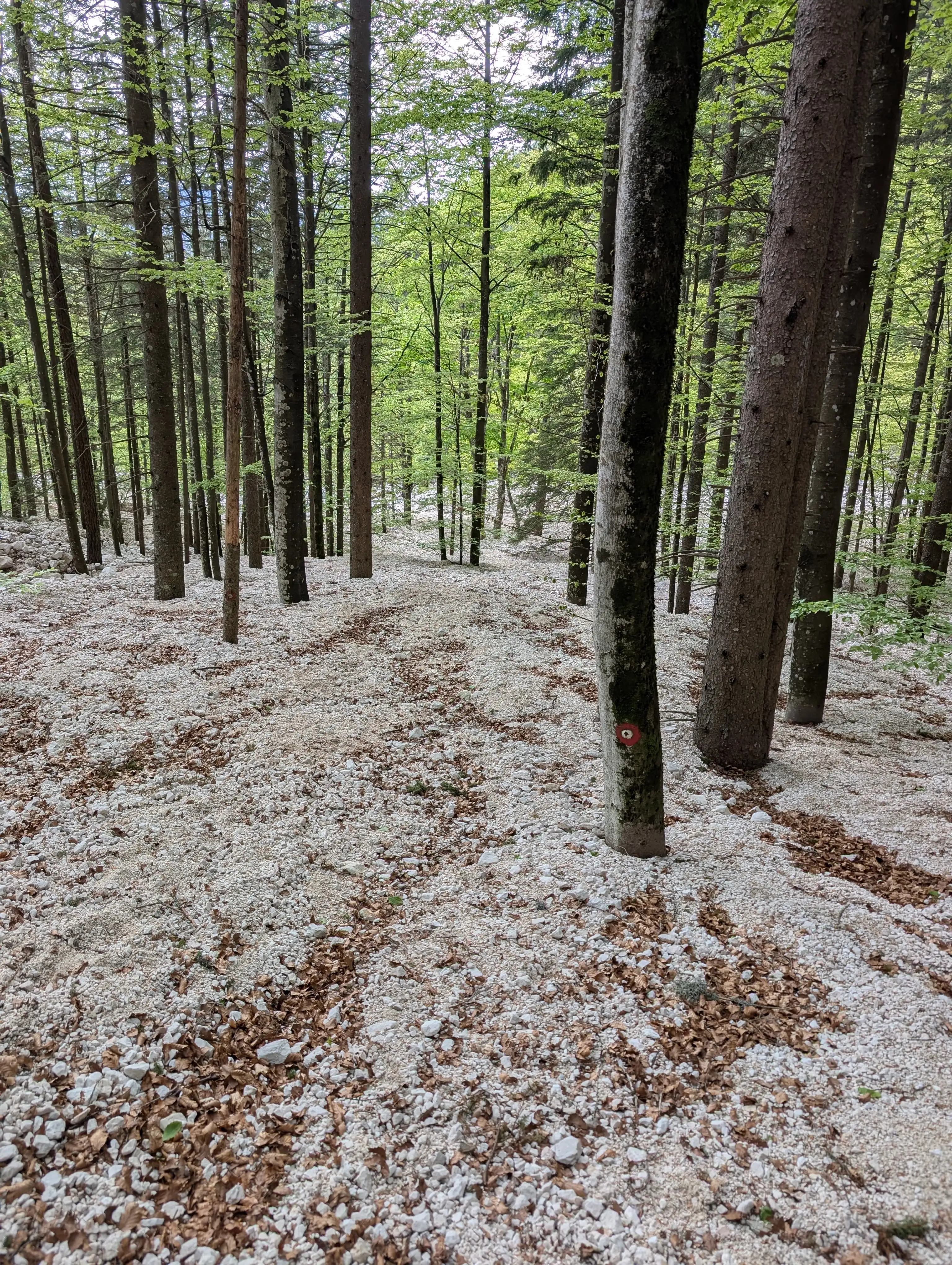 Scree instead of forest soil vegetation. That's the landscape around lower parts and the riverbed.
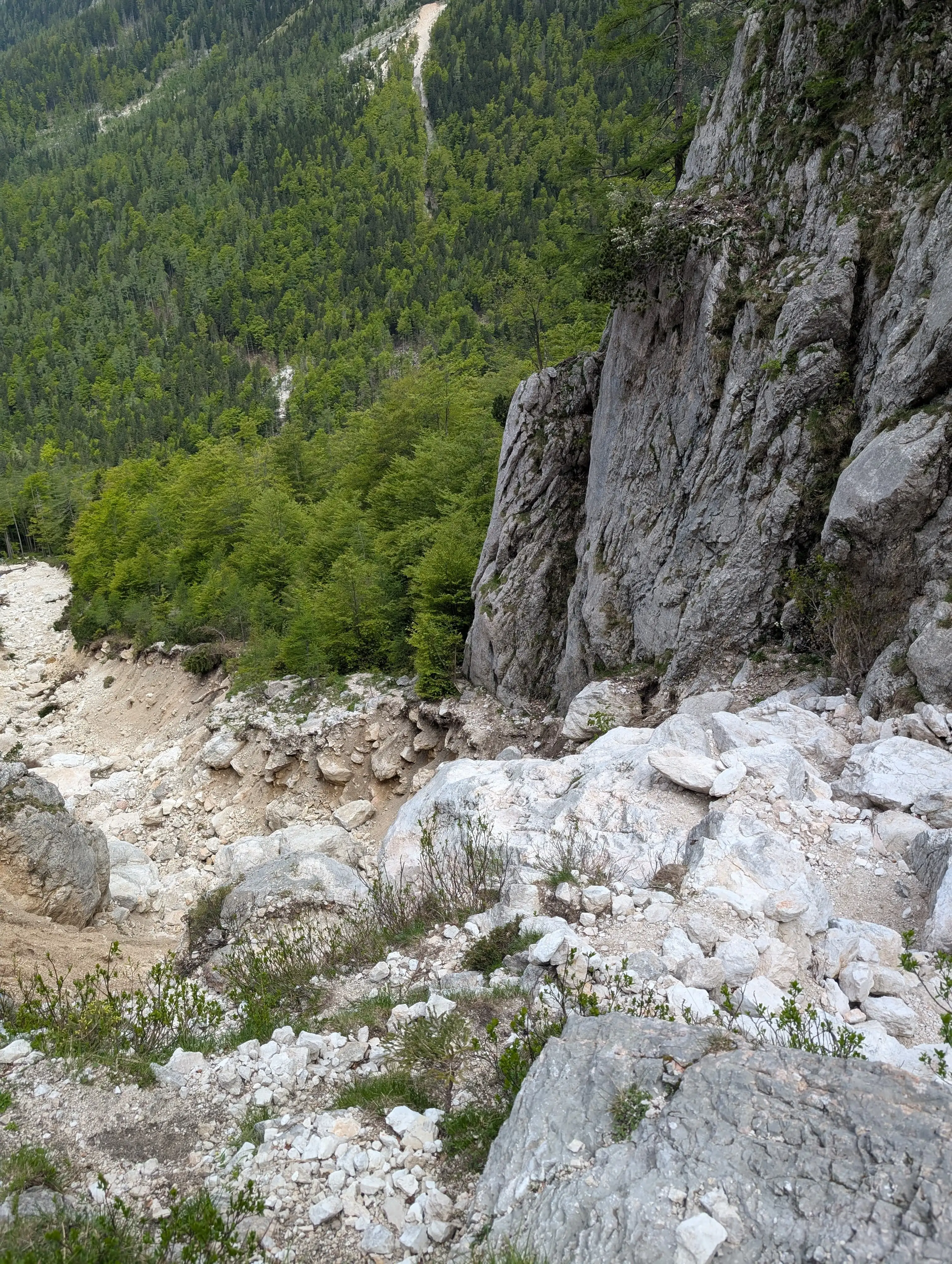 The trail used to run along/via this chute. It still does just that it is more challenging right now, we leave the path where the trees meet the rock in the centre.
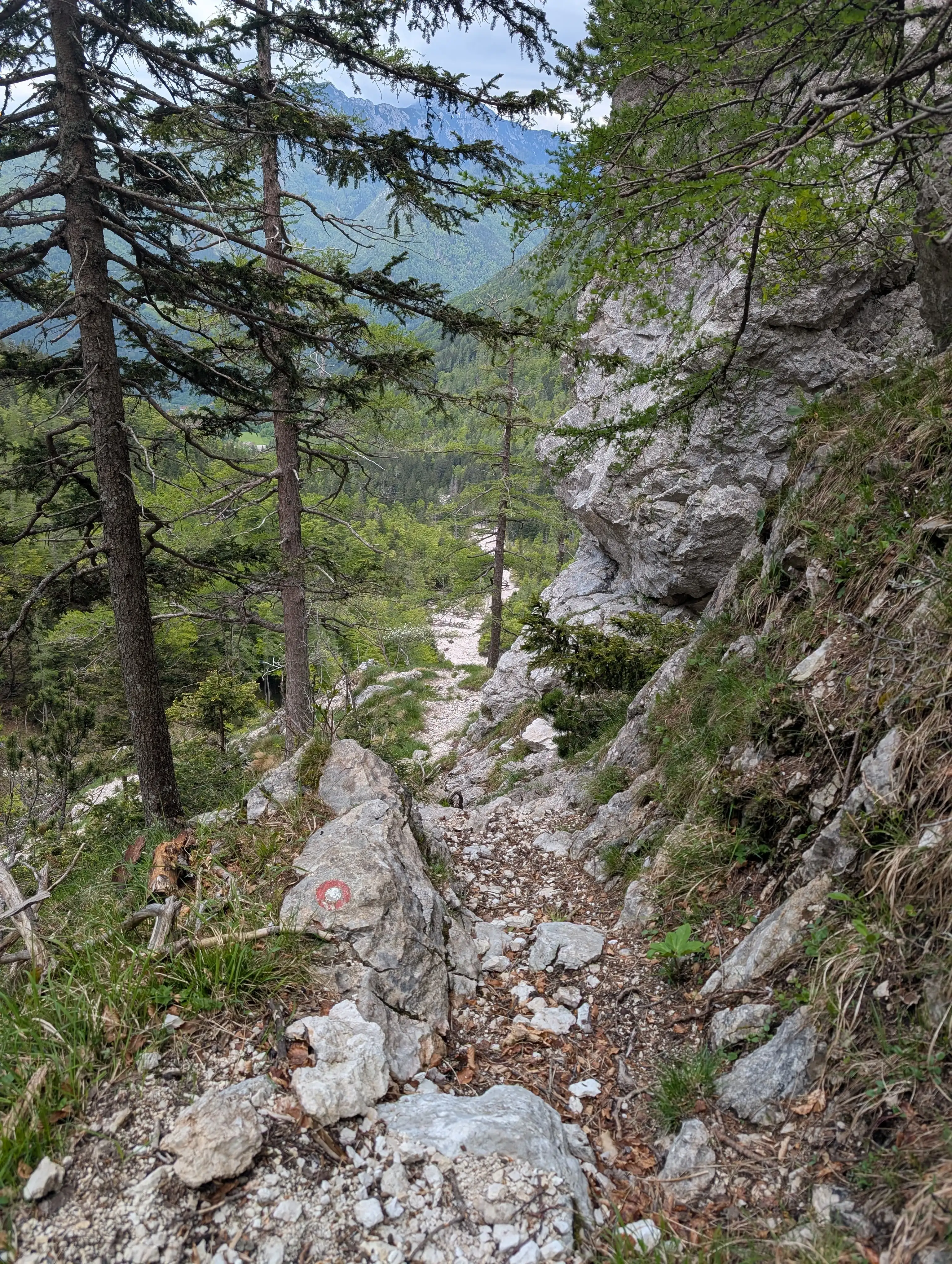 Above that riverbed the trail starts to get more civilized...
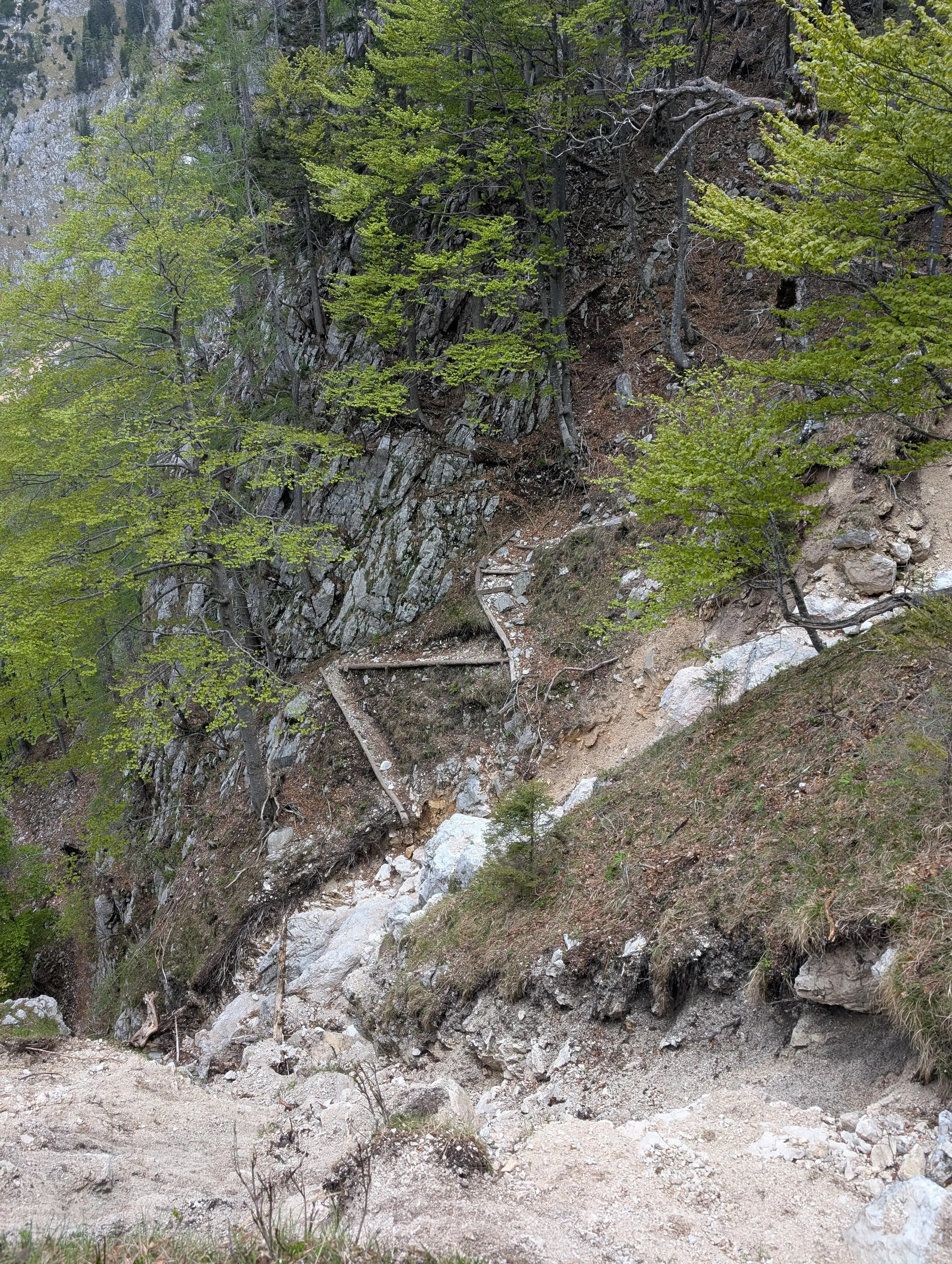 ..however čez Taško is totally washed away. Trail was closed and the information about it was clear.
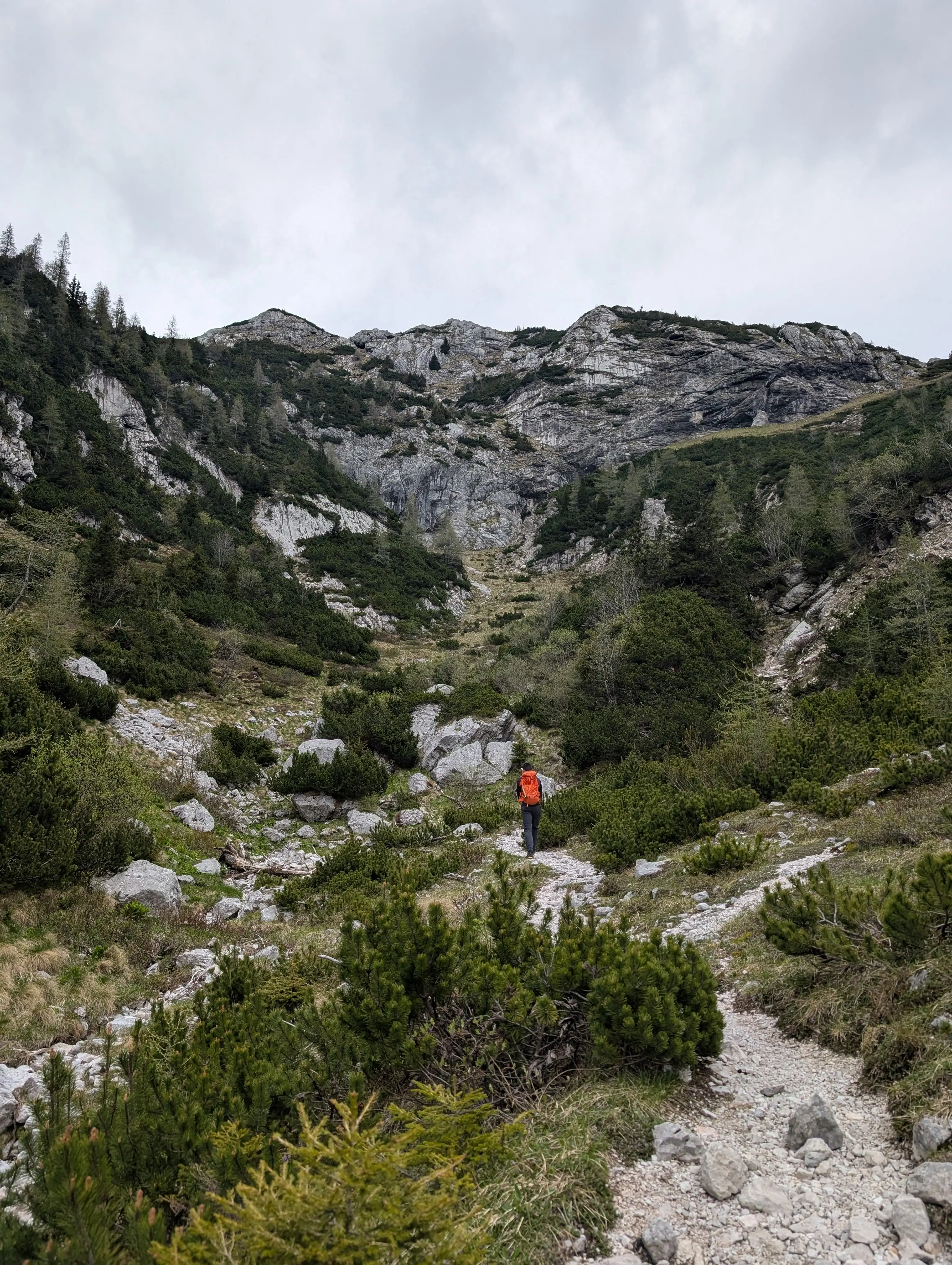 After we enter higher threshold of the valley the path gets more pleasant, nothing is eroded. Steepness will rise again on approaching Kokra saddle.
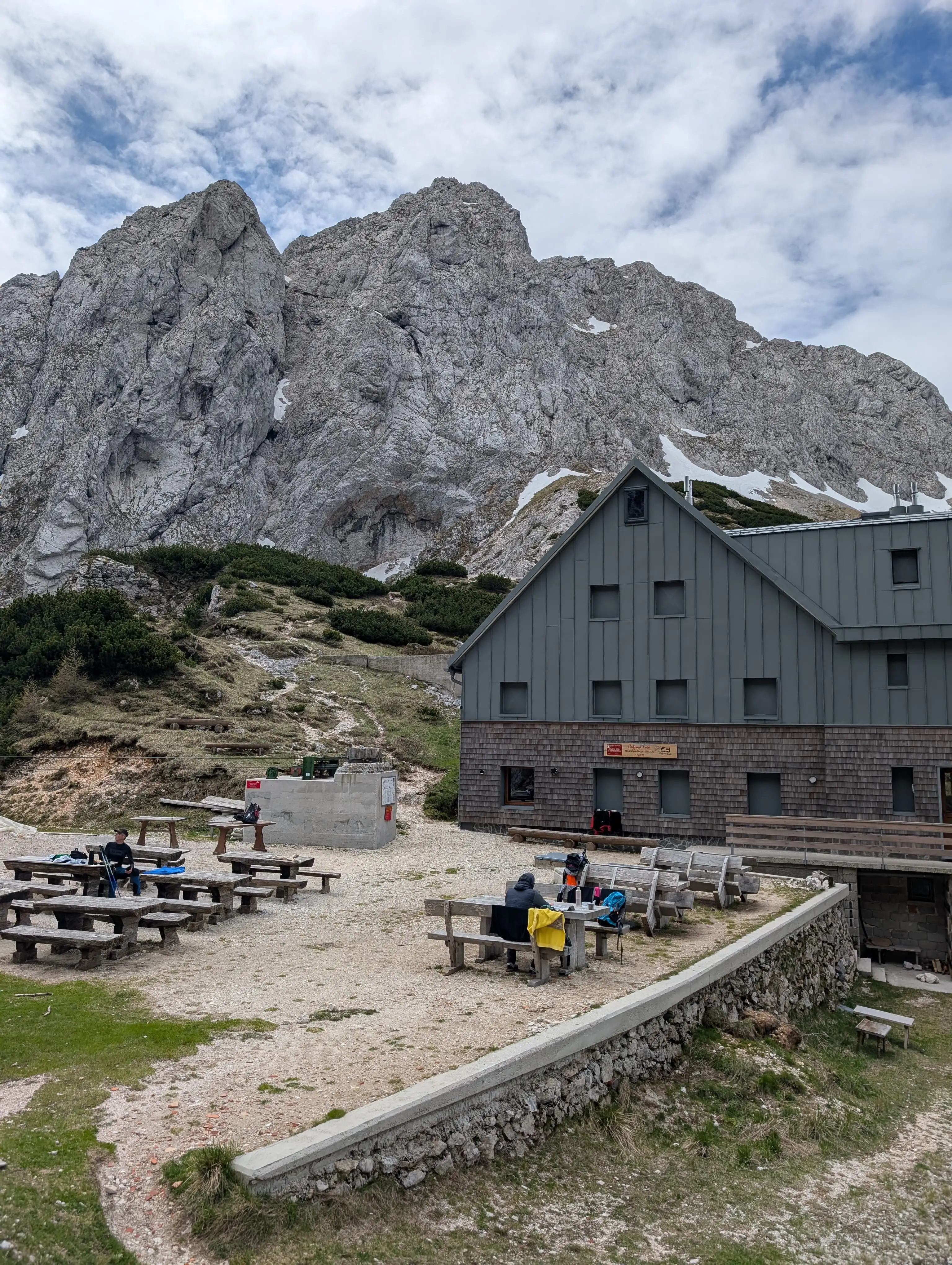 Kokra Saddle with Zois mountain hut. Here we turn left and ascent a bit more.
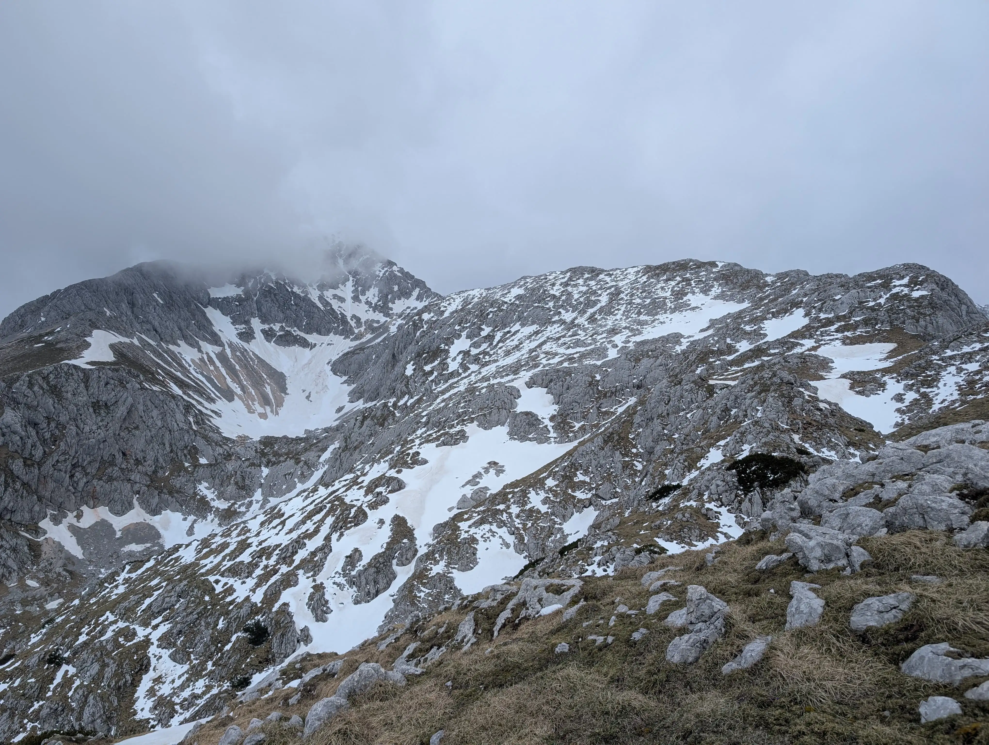 From now we can take a good look on Dolge stene ridge on the right, being, covered in clouds is peak of Grintovec.
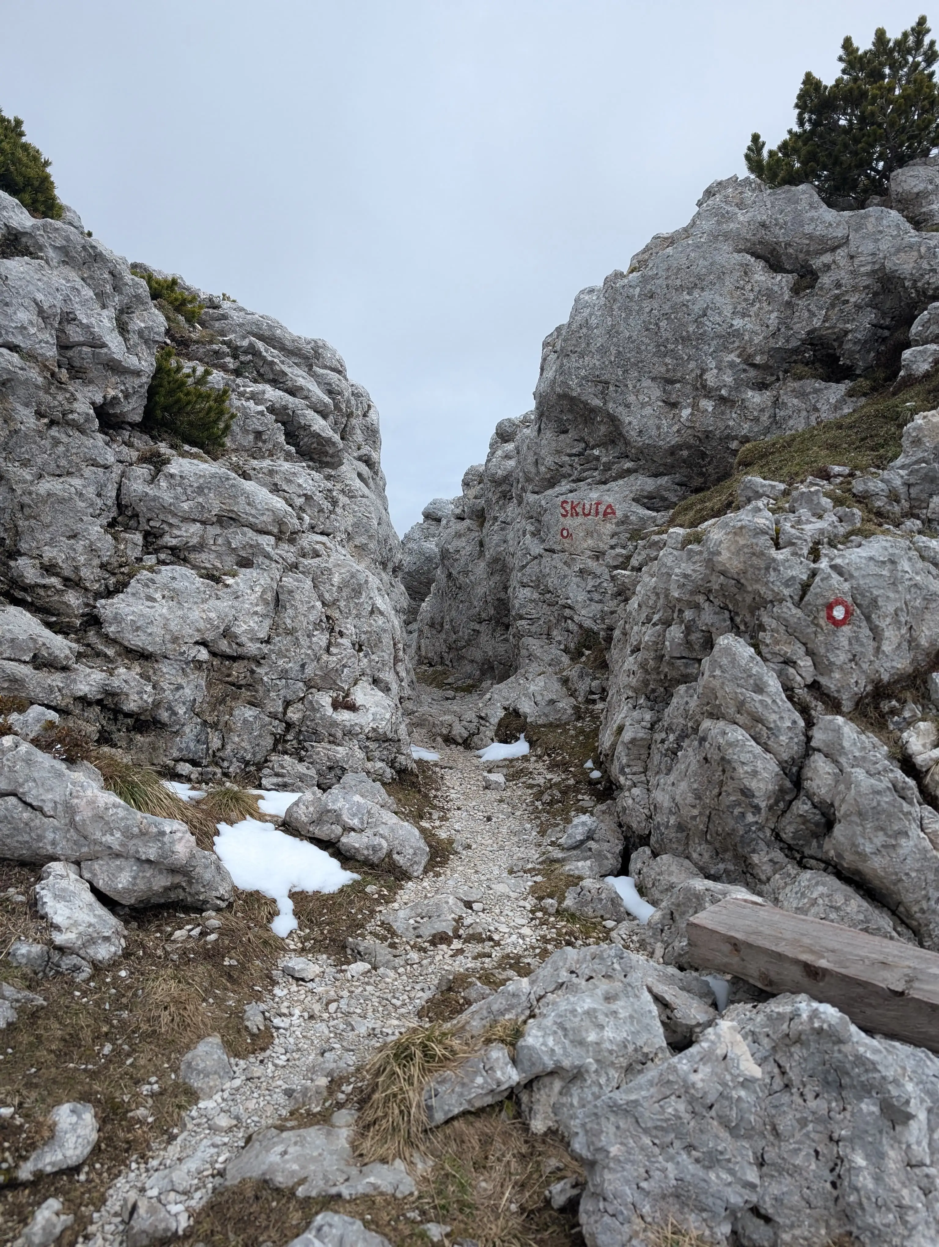 We leave the trail just before this narrow passage by turning left. Path won't be marked from now on and is not very distinct.
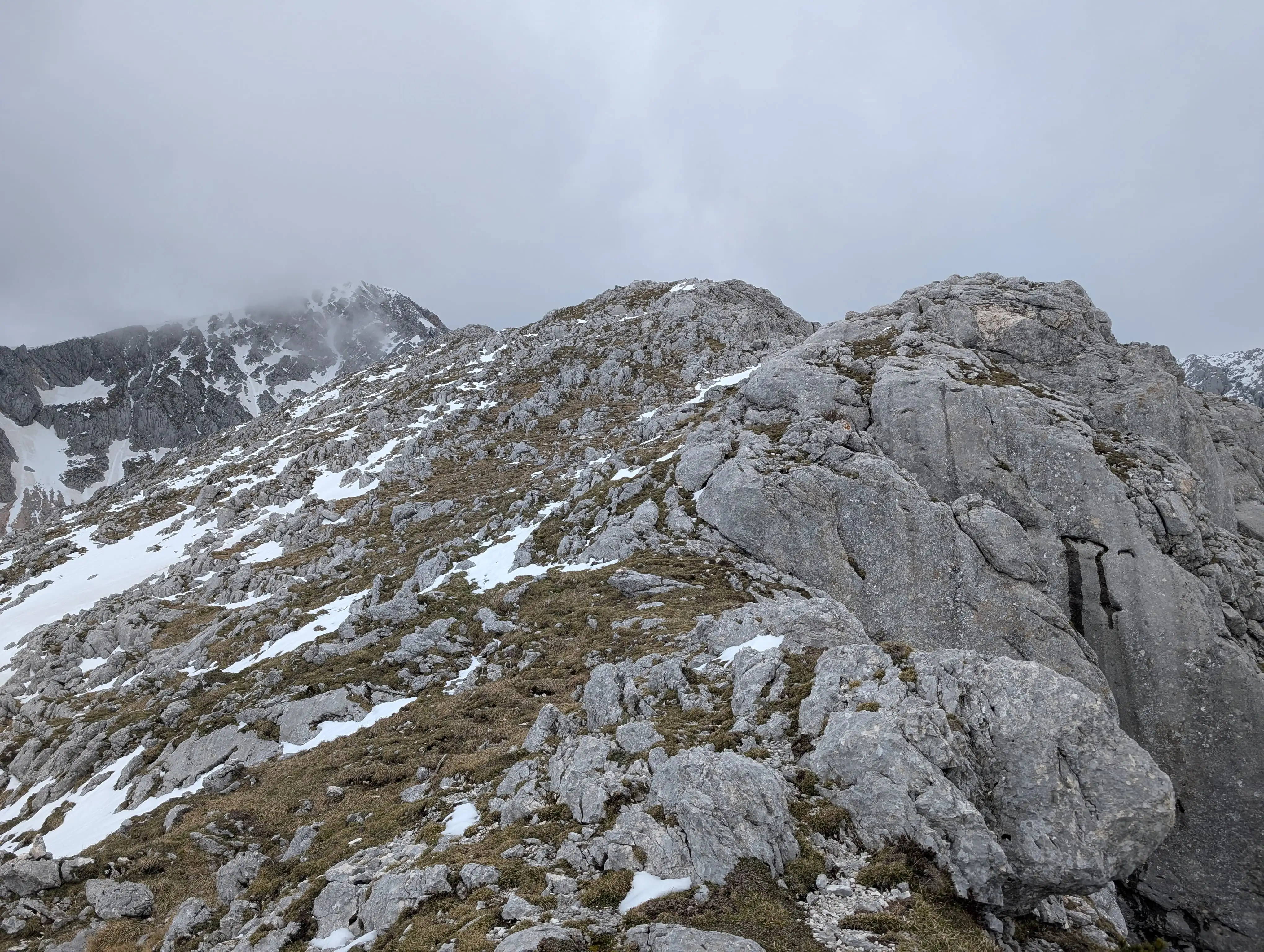 Terrain in lower part of Dolge Stene. The rule is to keep as close to the ridge as possible.
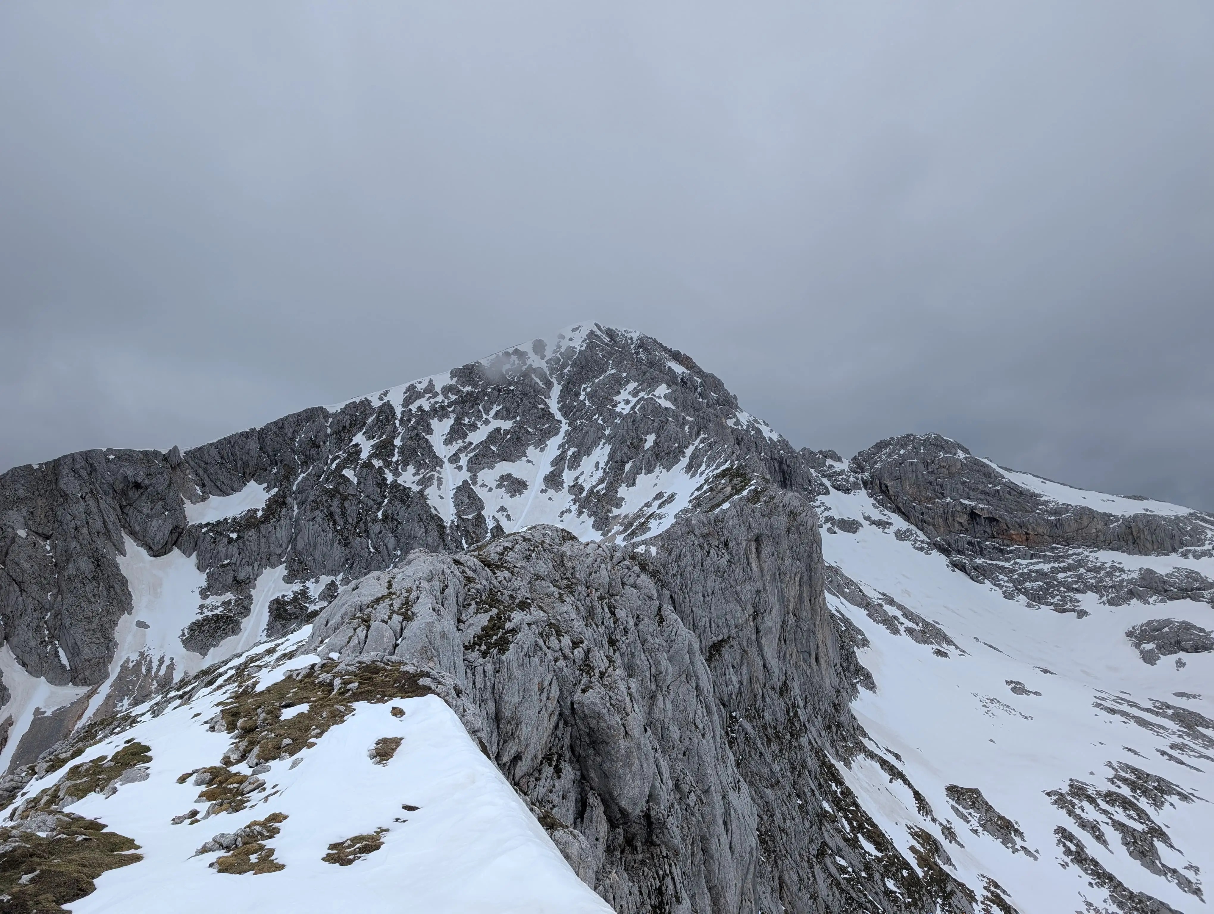 Terrain in the upper part of Dolge Stene, still follow the ridge but be aware of exposed spots on the right side of the ridge.
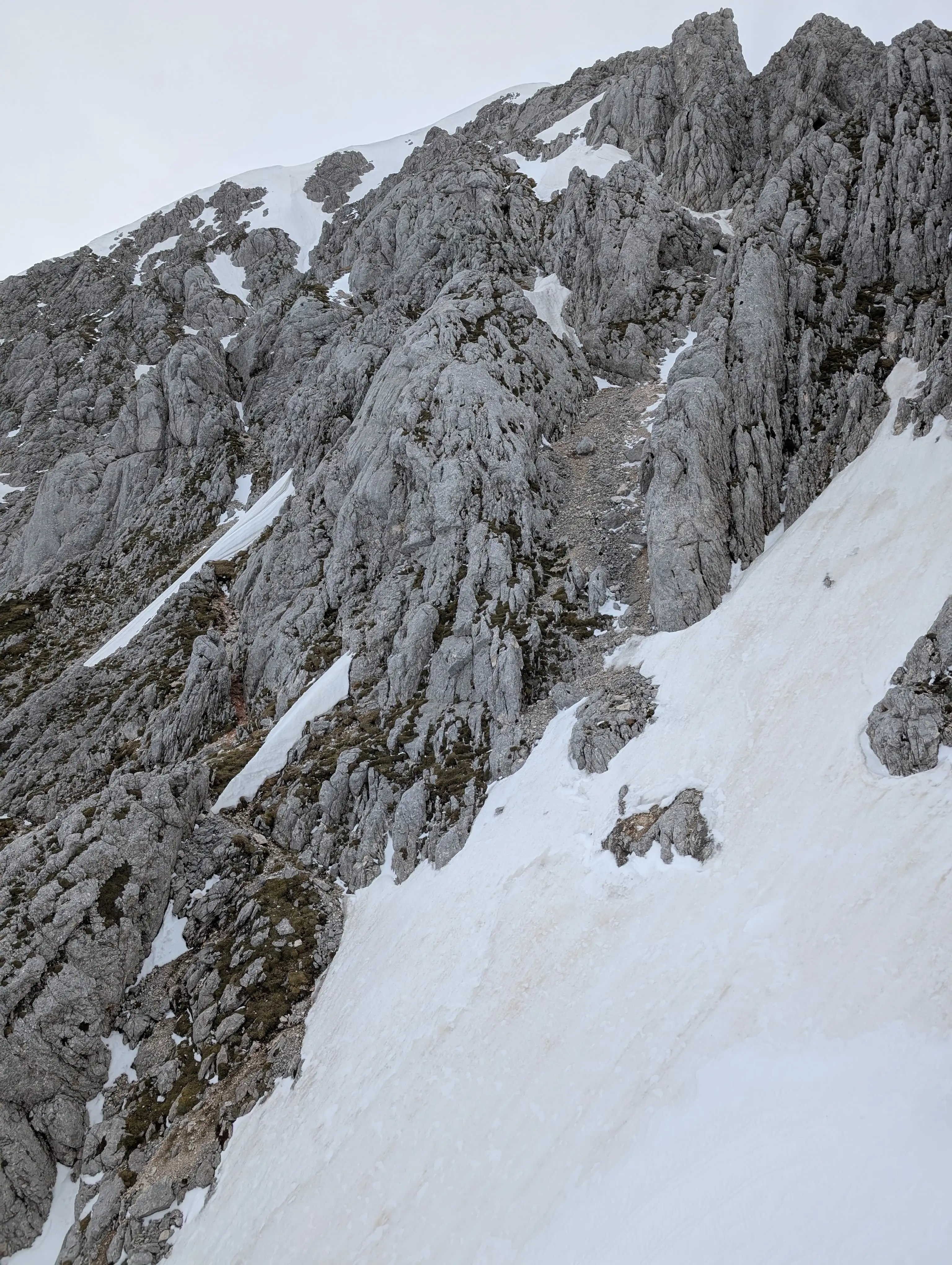 We leave Dolge stene ridge and enter Grintovec. The path runs somewhere through that snowy field and enter in the lower part (not the crumbly gully above). There are lots of cairns to help find the right way.
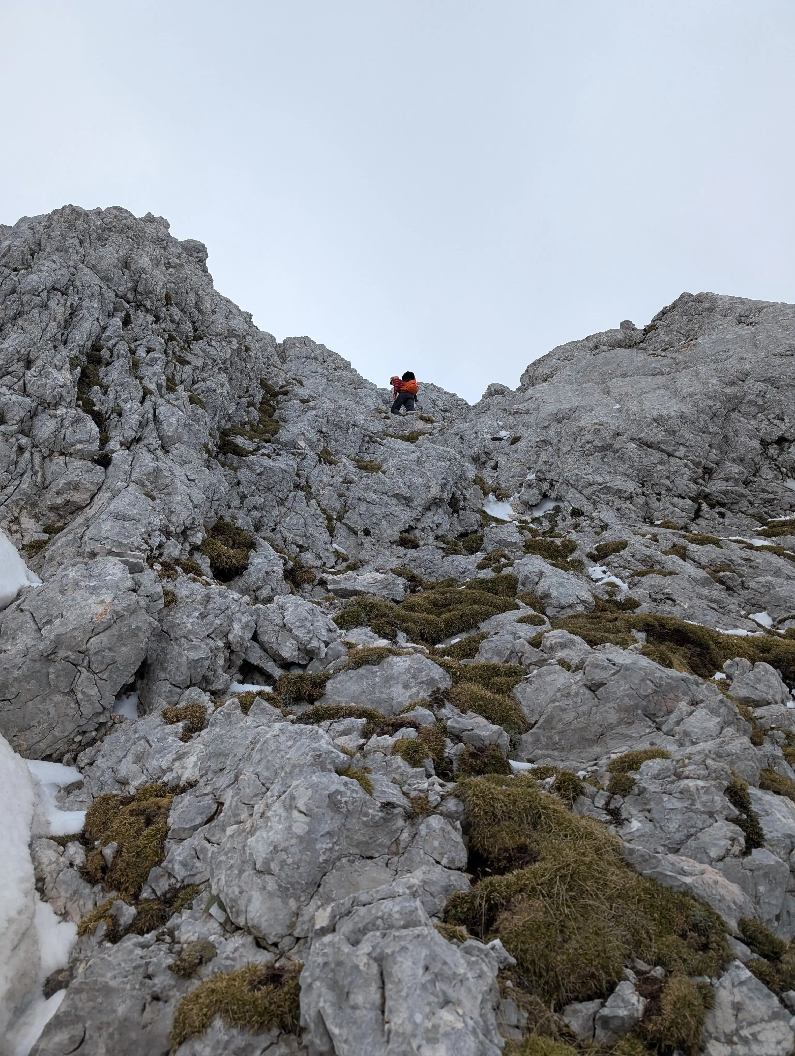 Most vertical and only spot when we need to really use our hands. Nothing exceeding I grade of climbing.
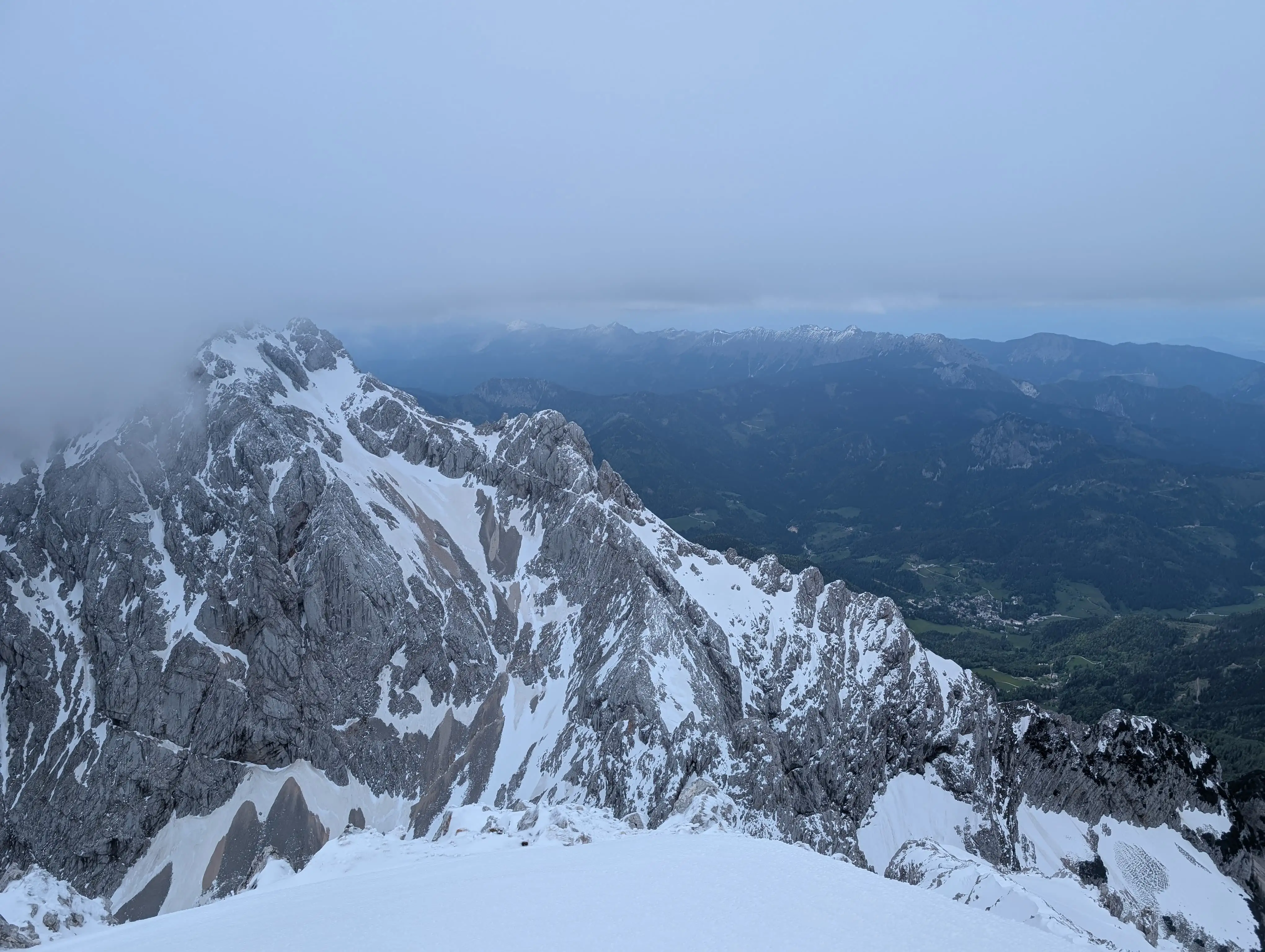 View from the Grintovec peak into north-western direction with Jezerska Kočna in the foreground and Košuta massif in Karavanks in the background.
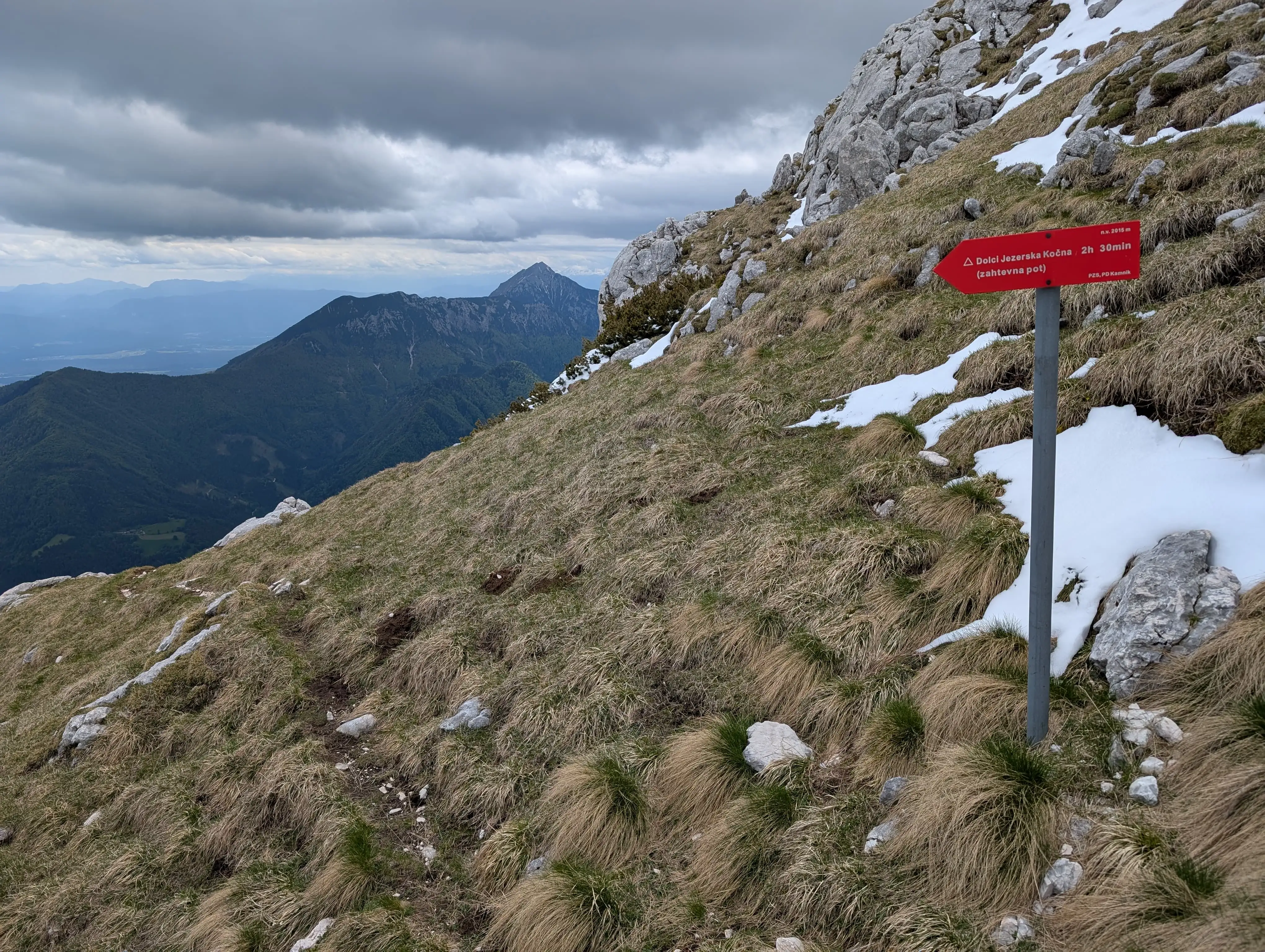 After descent through Streha we land at this crossroad, easier one goes back to Kokra saddle and more challenging follows this direction.
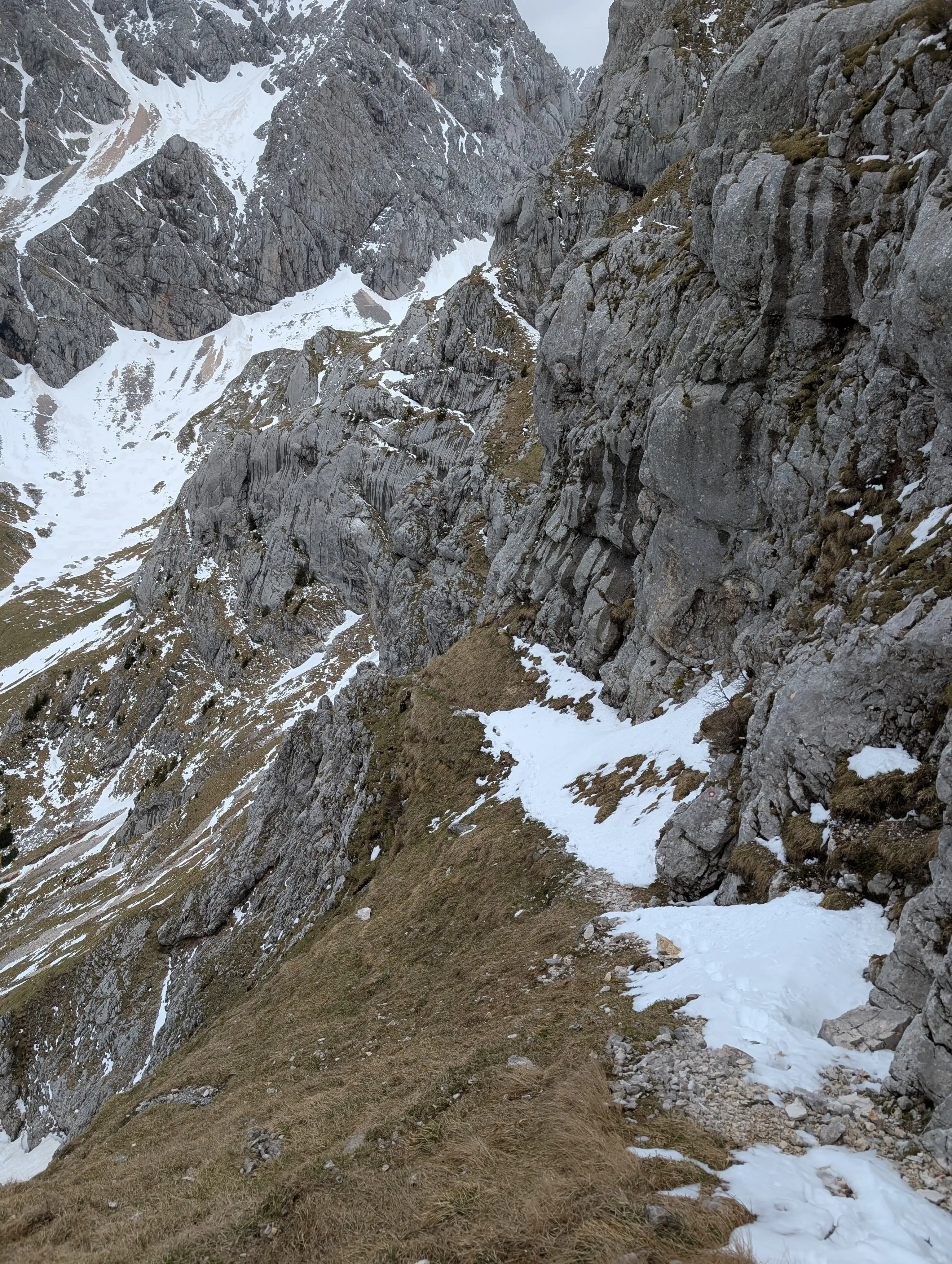 Path to Dolci, could be more manageable without that snow. Trail however is crumbly in places and exposed, focused is required on the way.
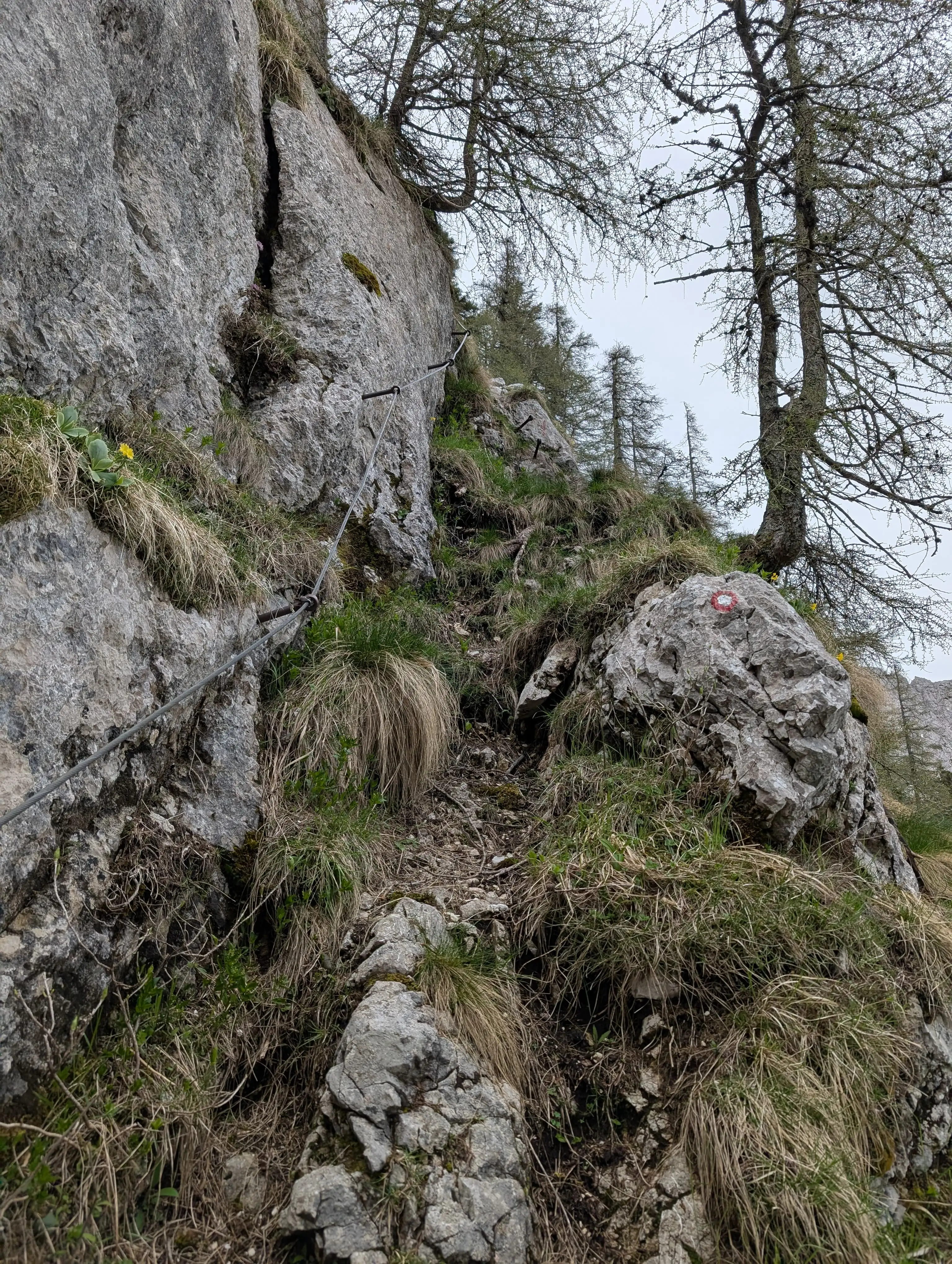 There is also some protecion in narrower passages which are quite abundant in lower part of the Jelci descent. On Suhadolnikova planina meadon it joins our ascent path.