Monte Re
Trip overview
Monte Re, located in the Julian Alps near the Italian-Slovenian border, is a lesser-known peak offering taste of history and expansive views of the surrounding alpine ridges. It also offers significant inclination and couple occasions to use hands, however not considered a scramble. Monte Re rises sharply above settlement of Cave del Predil.
Cave del Predil is a former mining village nestled in the Julian Alps of northeastern Italy, renowned for its historic lead and zinc mines that operated from Roman times until their closure in 2009. Today, visitors can explore the Raibl Geomining Park and the History and War Museum of the Julian Alps, which showcase the area's rich industrial and military heritage.
From Cavel del Predil we take the trail number 615 and then switch it to 665 close to abandoned mine building along the gravel road. From that building the fun begins as we zigzag along the path climbing steep slope of Monte Re Piccolo. It really pays off to start lower and warmup legs a bit for that part. Steepness even increases a bit later on and won’t ease off that much till Monte Re Piccolo. Here’s an option to even the breath and take some look into eastern direction. There is also an original cross marking this peak.
From Monte Re Piccolo we follow the trail n 665 and after descending a bit we reach a col after which we start the ascent again, this time for the major Monte Re. First through the forest, then in the dwarf pine we leave the south eastern slopes and enter the ‘south ridge’ cutting through couple of rocky thresholds and one gully like formation with some nasty crumbly material. Views start to open and Predil lake is in the reach of our sight if we look back. The steepness will ease off only after reaching pre-summit which is connected to the main peak with almost flat ridge. From now on the hike gets more pleasant and after couple of minutes we land at the peak of Monte Re.
Return path goes the same way, use of hands might be necessary in some spots but overall the terrain is not exposed or challenging technically.
Trip conditions
Weather:
Cloudy with grim atmosphere however not that cold, except for the chilly wind. Temperature around 10 degrees.
Trail:
Trail marking is sufficient, the path is obvious however not that pleasant in lower parts because is very steep. In upper parts there's one steep spot of crumbly character.
Additional information
Tips and author's comments:
Taking a walk around Cave del Predil feels like travelling in time. Heard people referring to this place as a 'ghost town' but it is very alive and wouldn't call it as such. Indeed has a rich and long history associated with minework and that gives that time-travel feeling. Worth giving it a try still.
Dangers:
Route is safe, pay attention in the lower parts while descending if grass is wet, might be easy to slip.
Gear used:
ascent shoes, 20l rucksack, hiking poles
Transportation:
I left the car between the blocks directly in Cave del Predil to have a better look around, however there is also parking option exactly on the tourist trail that takes us to the top. There was also one car parked as high as the gravel road ends in front of abandoned mine building at the altitude of 1050 meters.
Links:Parking location
Accommodation:
No information
Trip photos
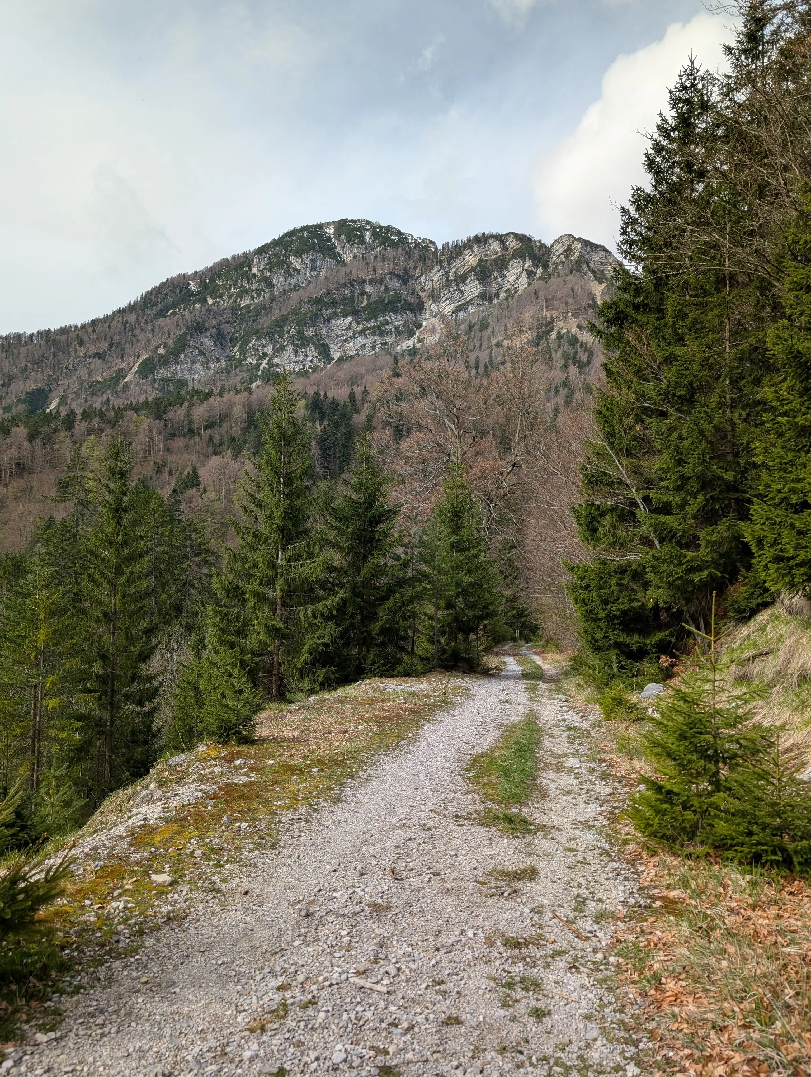 First stretch of ascent is easy walking up this gravel road ...
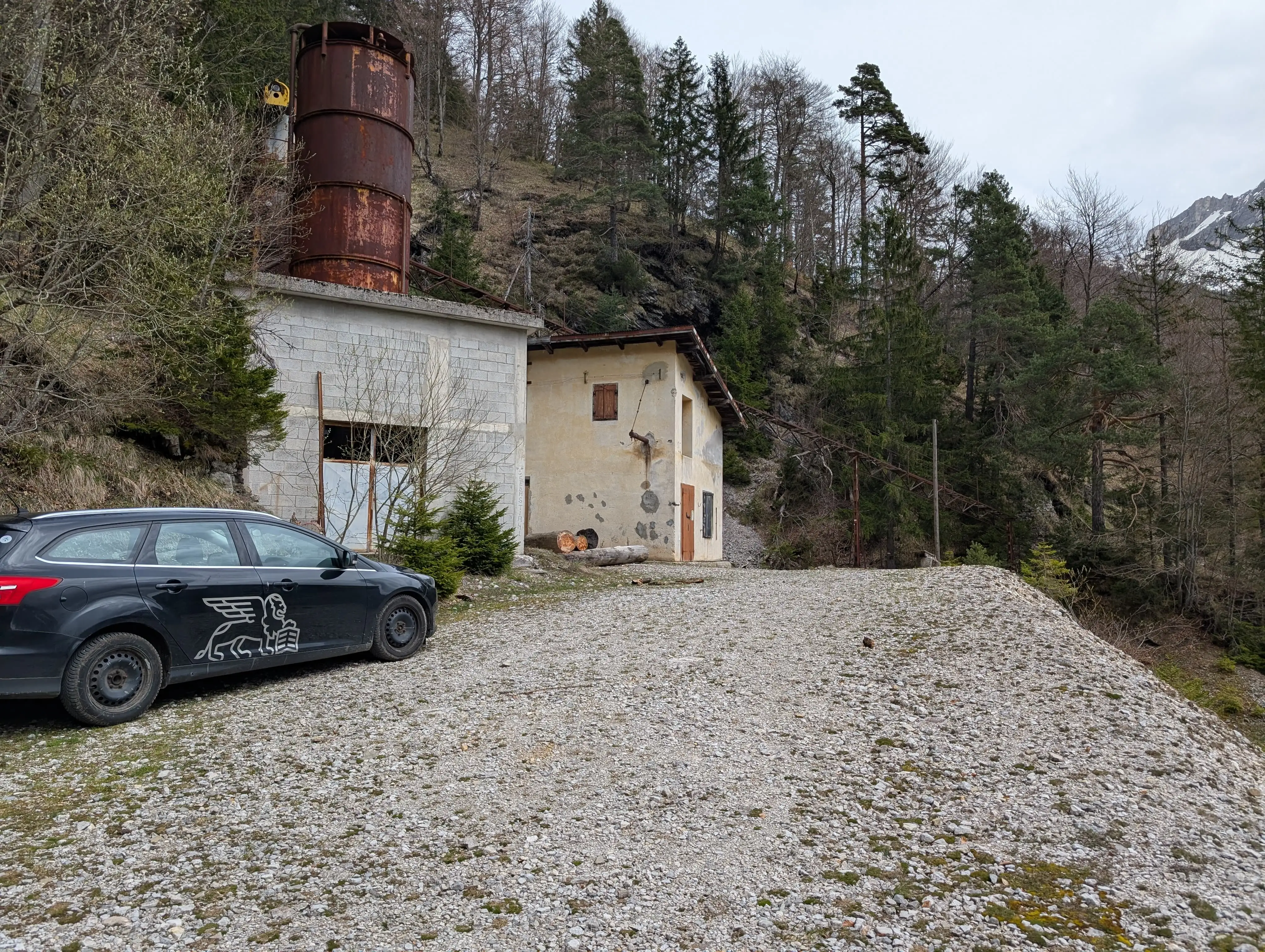 ... which ends by this abandoned mine building. In theory it is possible to get as far as here with the car.
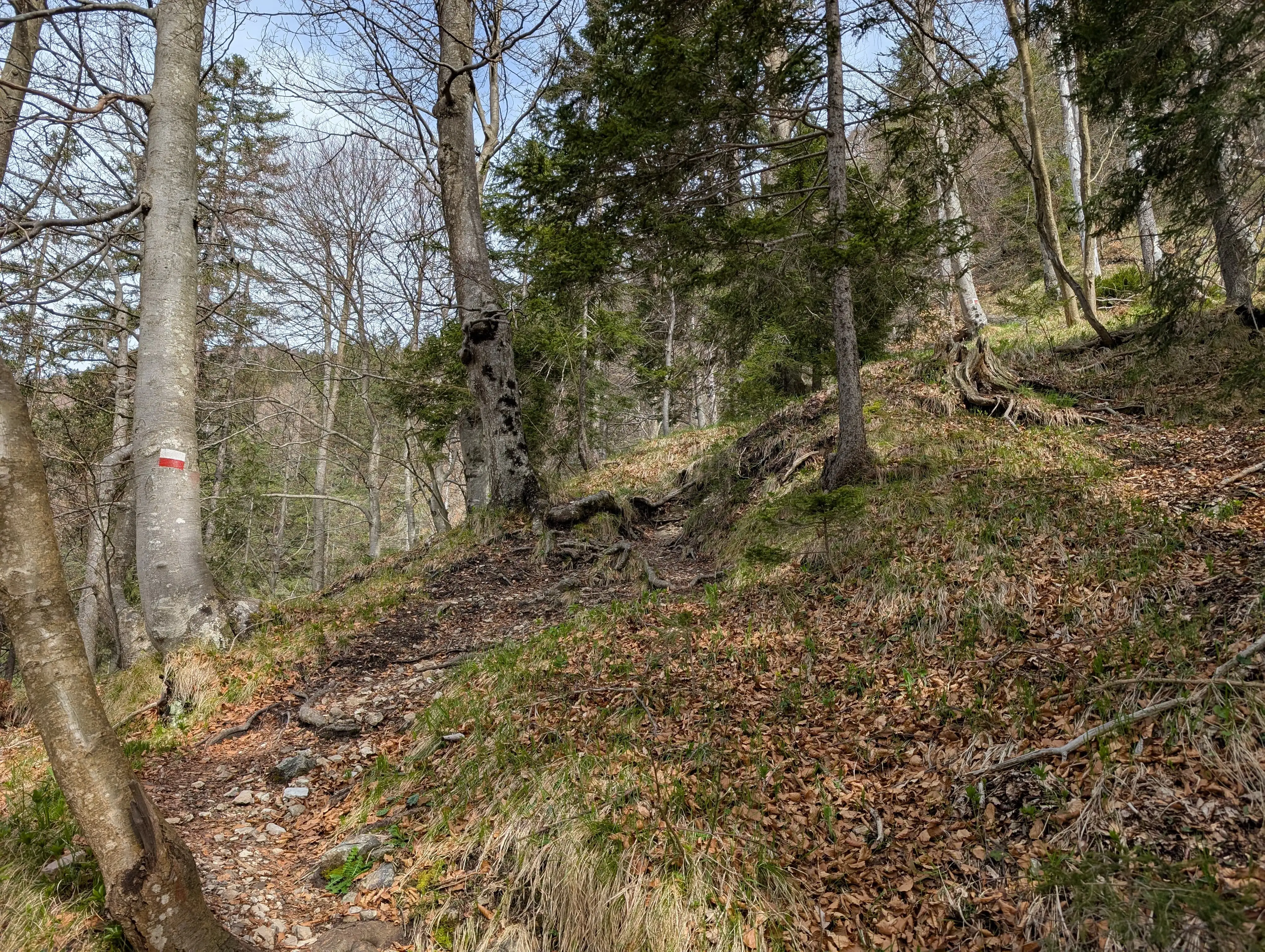 Once in the forest the real thing begins and we will quickly feel the steepness.
 First we climb Monte Re Piccolo, that's a nice place to even the breath and take a look around. There is an original cross and a lot of place to sit.
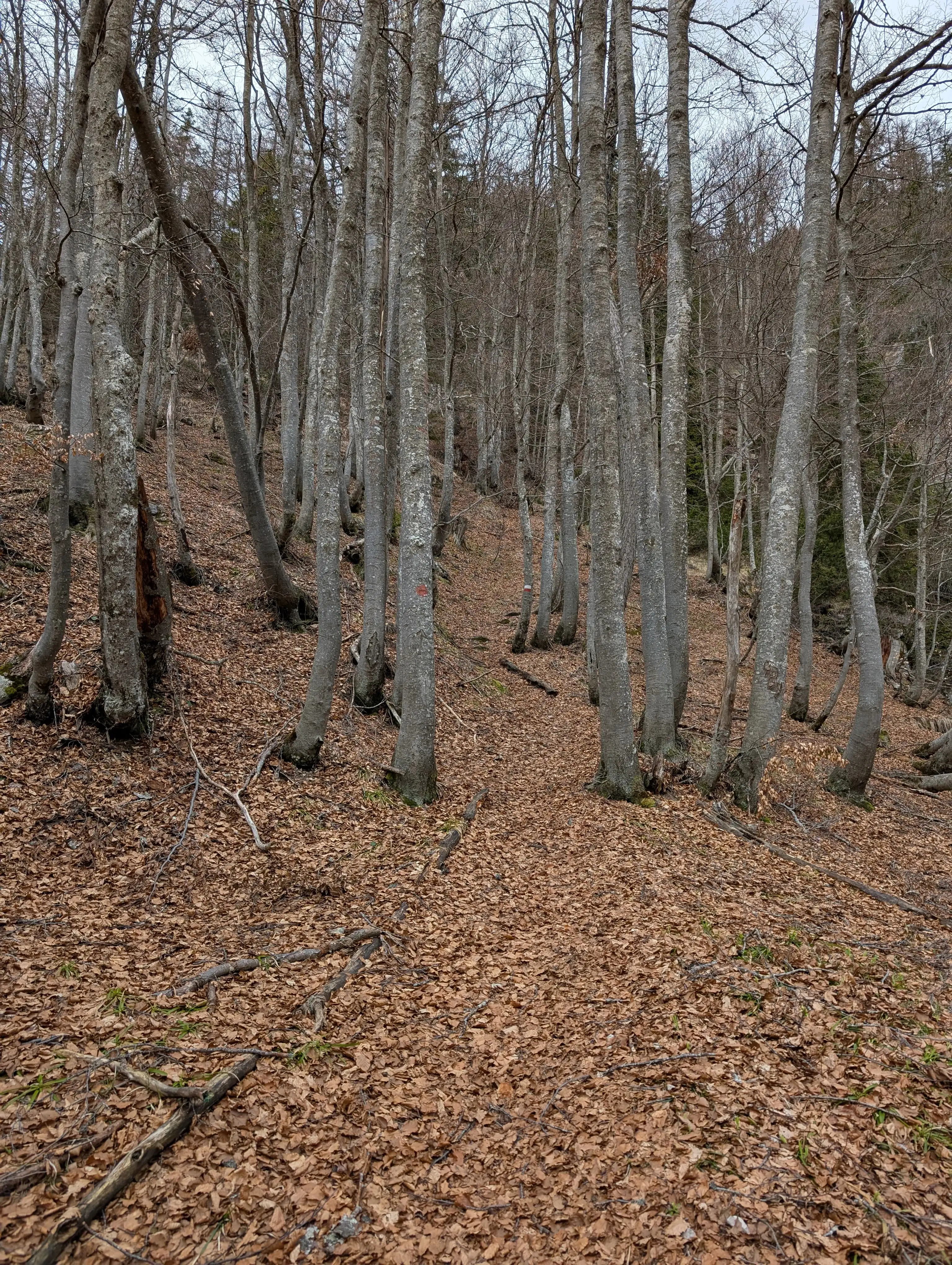 Next we enter the forest again descending a bit. Soon the path will get steeper again requiring occasional usage of hands.
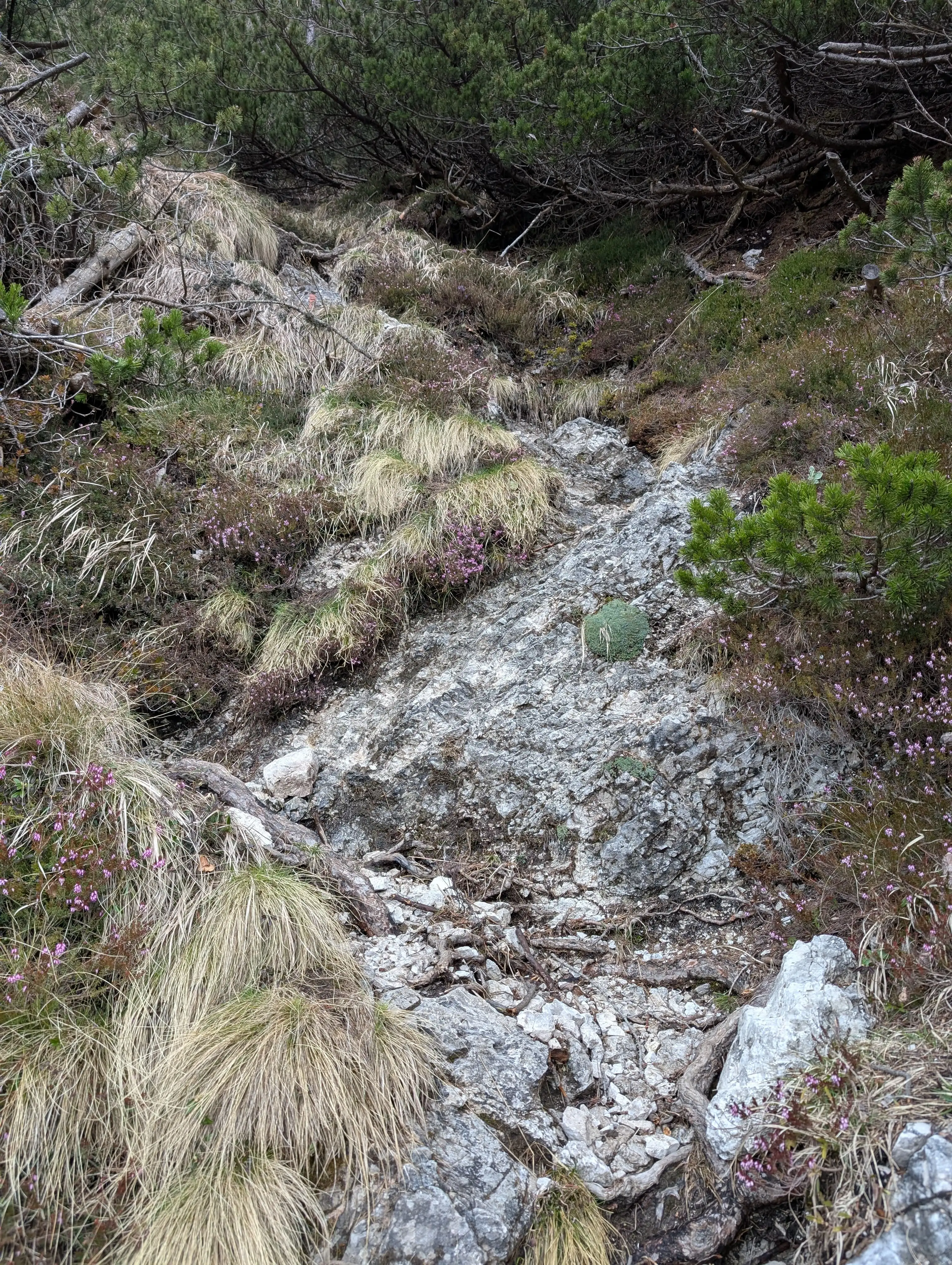 Nastier section that requires more caution, especially when going down.
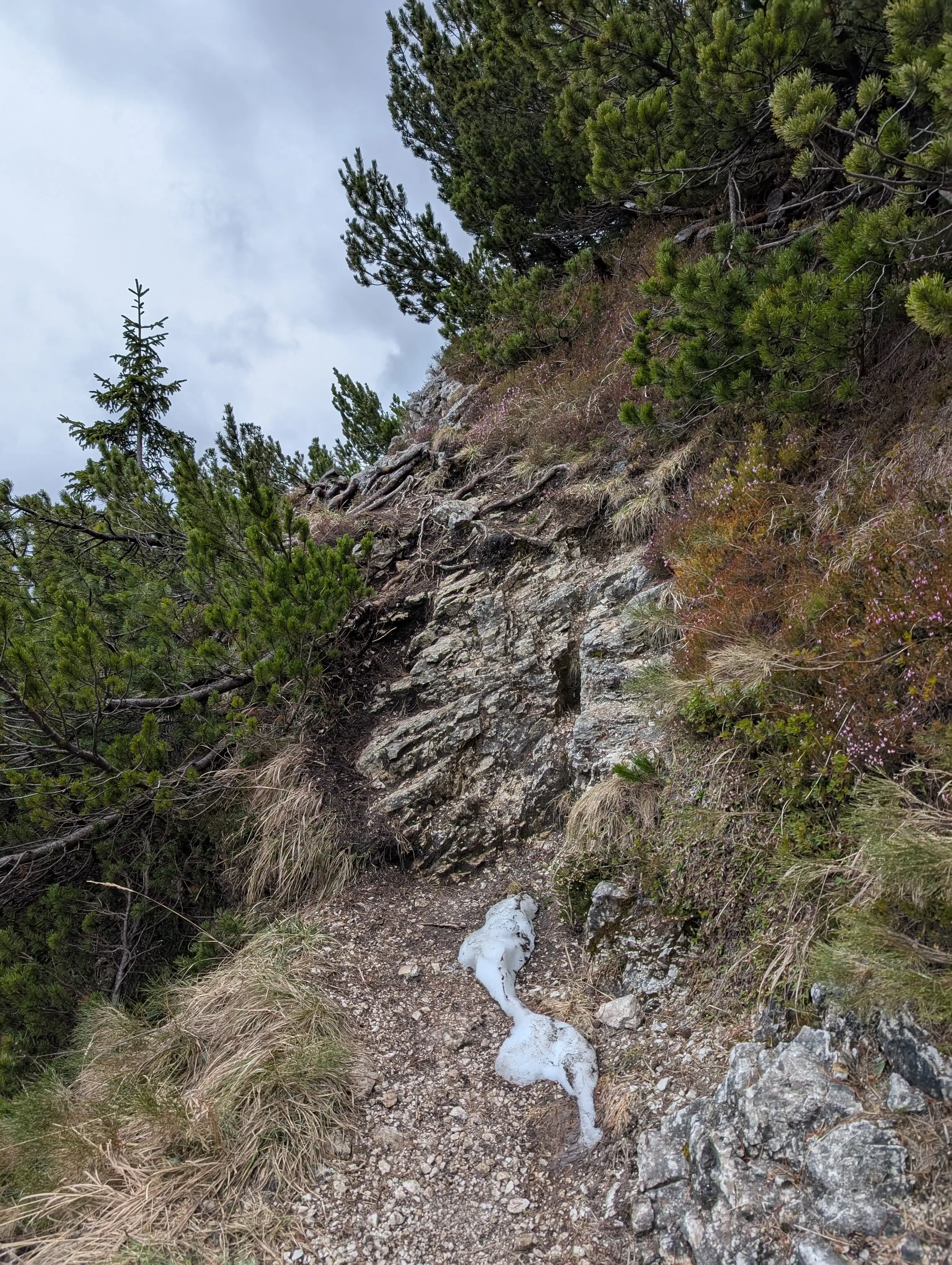 Short section that requires usage of hands.
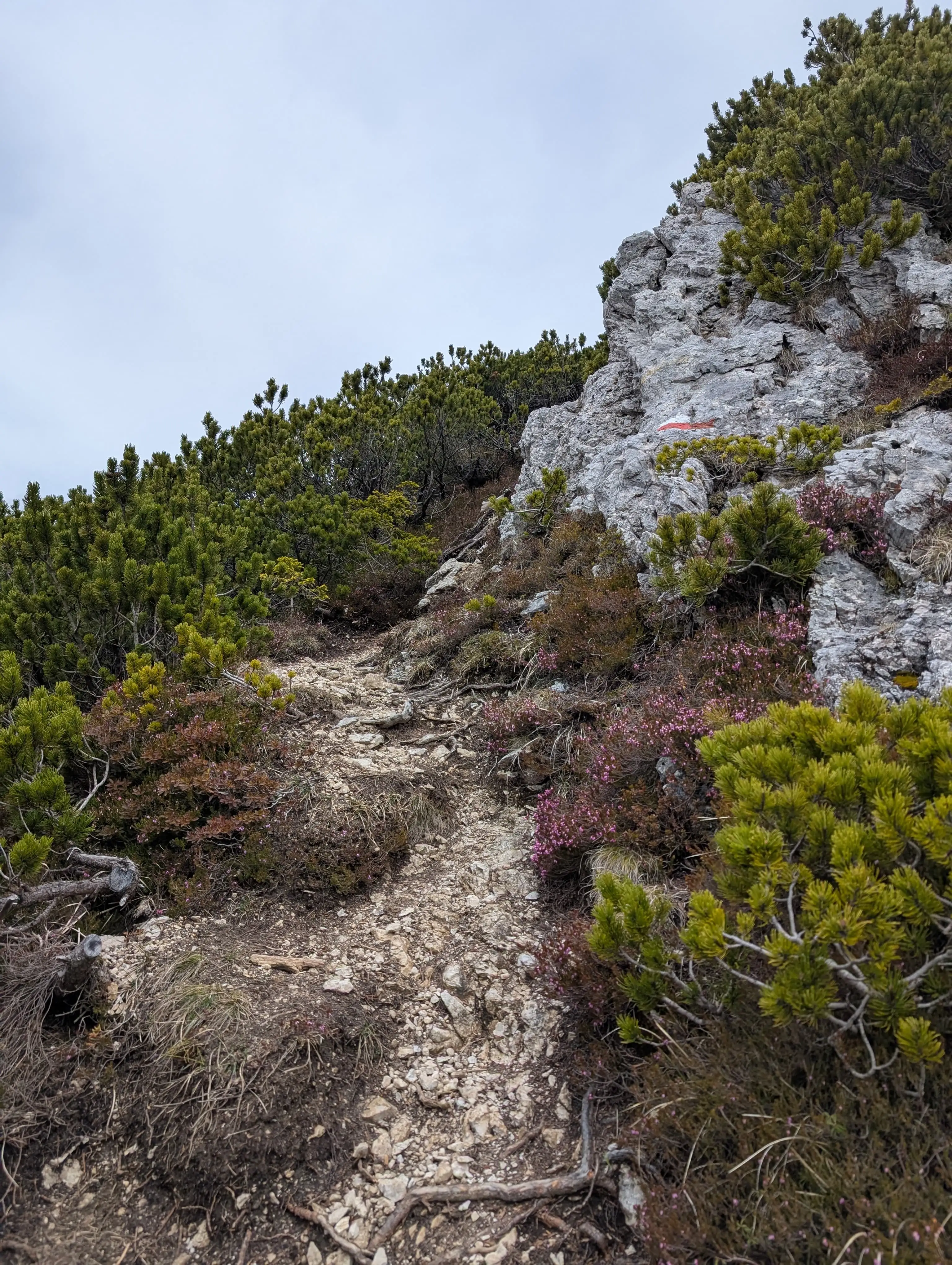 Path and trail marking around 1750 meters of elevation.
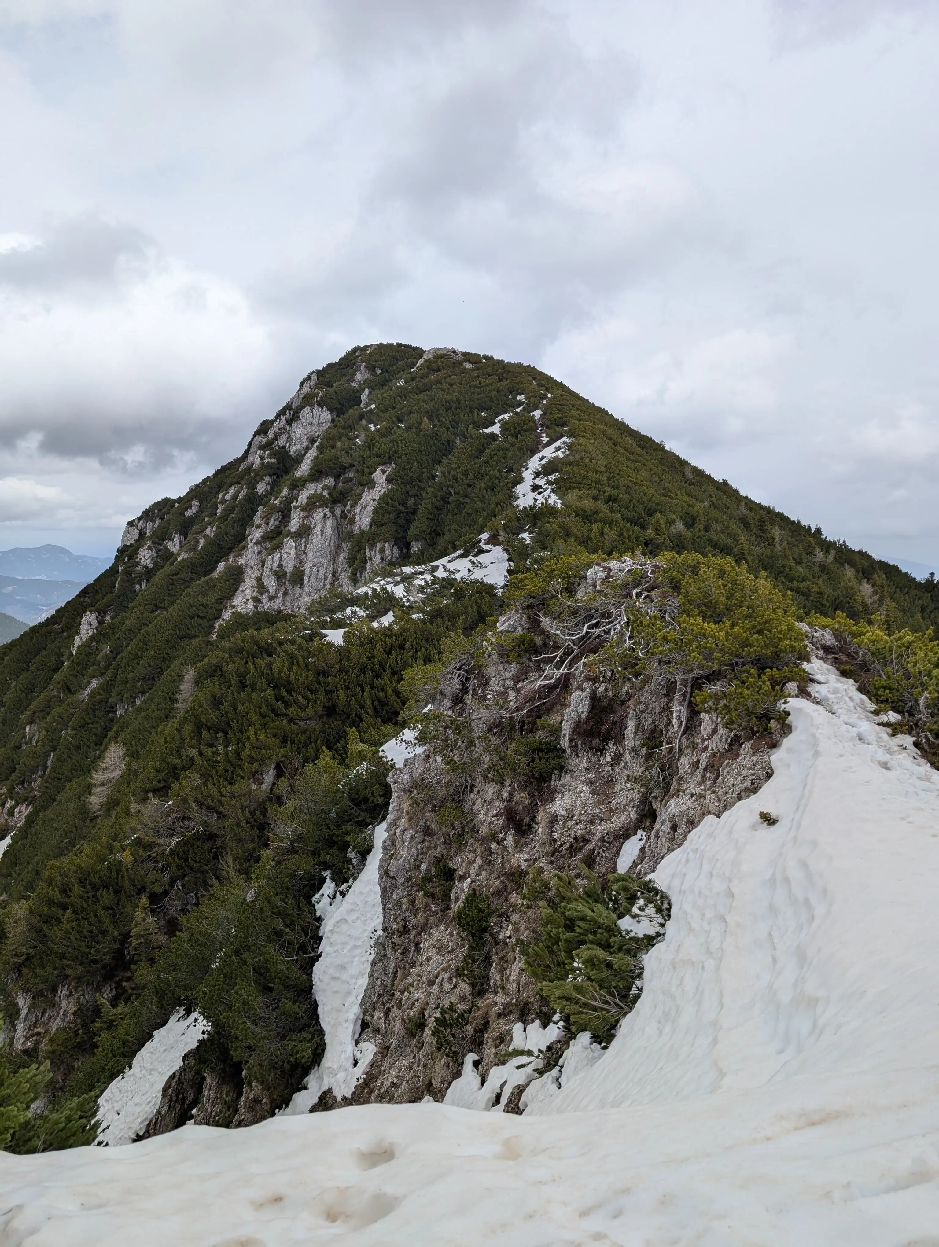 Monte Re as seen from pre-summit. We were lucky enough to be able to cross that snow without winter equipment and without winter boots. Might be trickier with more snow around.
 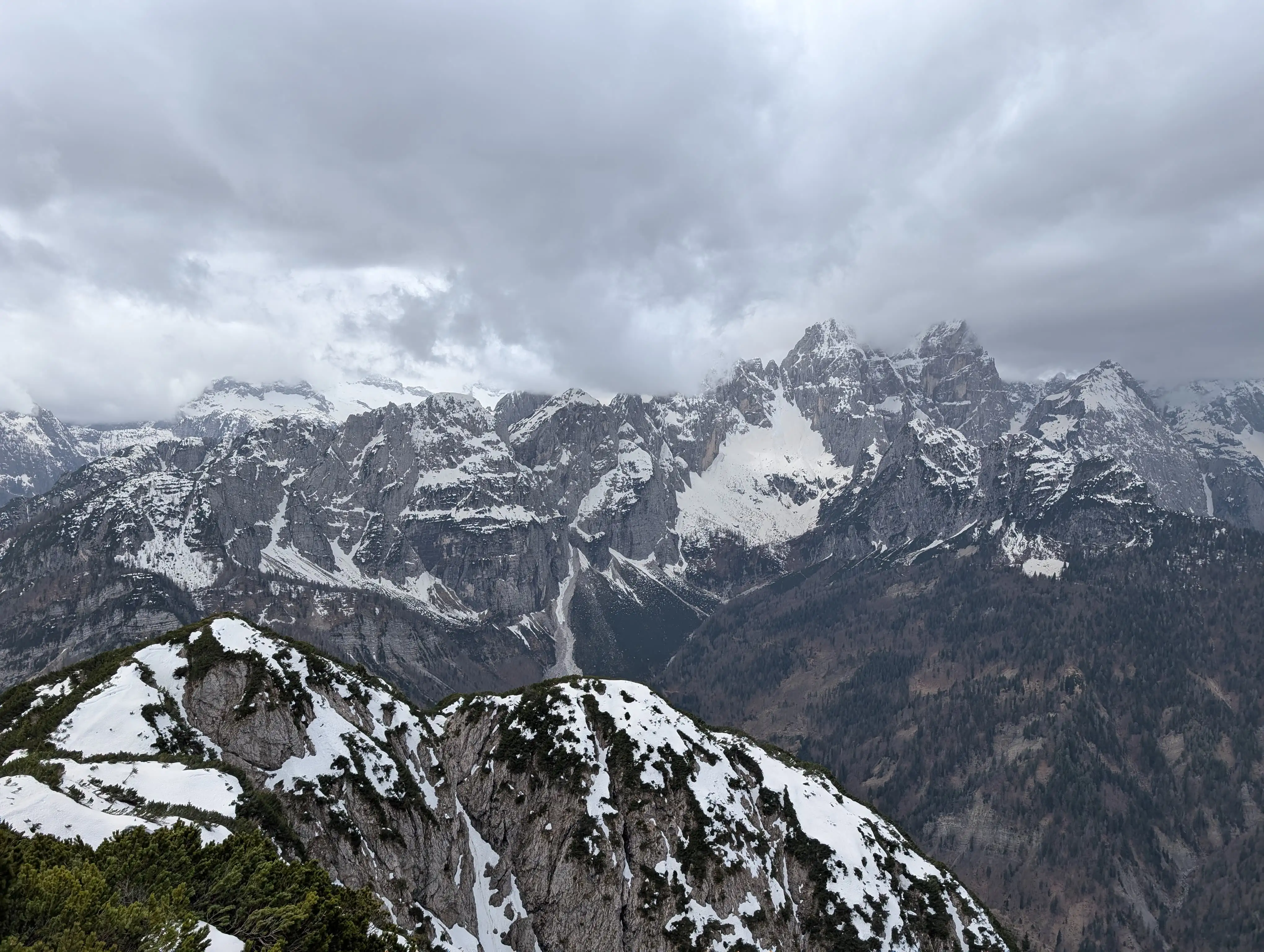 View from the top of Monte Re into southern direction, in the foreground on the left the pre-summit is visible. In the background we can see Jôf Fuart group with its peaks hidden under the clouds. Top of Monte Re is flat with lots of spots to sit, there is also an interesting hiking signpost referring to the mining traditions.