Špik via Lipnica
Trip overview
Špik is a 2,472-meter-high mountain in Slovenia's Julian Alps, located within Triglav National Park near Kranjska Gora. Its name, meaning 'spike' reflects its sharp, pyramidal shape, and it was first ascended in 1778. There are two tourist trails that can be used to climb it - direct one through Kačji graben and the other one through peak of Lipnica. Both start in Krnica valley. We planned to ascent with the second one and use the first one for the descent however snow conditions seemed a bit too risky for that and we descended also through Lipnica.
Starting from the parking lot below Vrsič road (just before third turn of the road ) we head in the direction of Koča v Krnici mountain hut. Already great views and a stream to cross make the walk a bit more pleasant. At the mountain hut we turn left and more serious ascend begins, we cross a couple of dry river beds and at the end of the main one we turn left - unmarked path goes straight in the direction of Velika Dnina. Now the ascent steepens and we traverse around Gamsova spica to finally land on a wide slope taking us to a small col near ‘Na glavach’ peak - 2195m.A bit more up in more and more crumbly terrain to the foot of rocky ridge. Here there is some via-ferrata protection which we use to get to the top of Lipnica peak (secured passage is around 50 meters)
From Lipnica (2417m) we can already see summit of Špik and the rest of the route which runs on and off the ridge connecting these two peaks. This part is more demanding, but again it is secured in key moments, there are really no bigger technical difficulties. At some point our route joins the Kačji graben trail that runs steeply from below and only 15 minute scramble in quite brittle terrain awaits us. That’s it.
Due to unstable snow conditions for my case the descent route was as ascent one, but of course Kačji graben trail can also be taken if the snow allows, or there is no snow at all.
Trip conditions
Weather:
Extremely humid and damp, started with low-hanging clouds and drizzle-like fog in the morning that covered everything in thin layer of water, my clothes were soaking wet after two hours outside. The higher, the warmer, peak was above the clouds and the sun quickly healed our souls. During the descent sun cut through the clouds and short sleeve was a blessing in sharp, May sun.
Trail:
Trail is marked well and visibly, path condition is typical for Julian Alps with crumbly stretches and bit of loose rock here and there. Dwarf pine forest is a bit overgrown in places and one needs to grapple with branches. This was especially nasty with these branches being wet.
Additional information
Tips and author's comments:
Took winter gear and bit of climbing gear with me in case we need to use in transitive winter conditions, however with the exception for winter boots and pickaxe in short stretches there was no need to wear the harness and place protection as key moments were already snow-free.
Heard and read the opinions that it is better to give up that trip on a hot day, terrain formation, exposition to sunlight and especially the dwarf pine forest which accompany us for quite some stretch make a deadly combo here. Abundant supply of water recommended in that case.
There are fantastic views from the top in direction of Martuljška peak group, for example Škrlatica. If you feel tempted to go there check out my post on it.
Links:Škrlatica post
Dangers:
Final part of the scramble from the place where trails join is more risky one if there's someone above us - it is realy easy to trigger a loose stone around here. Otherwise the route seems safe.
Gear used:
ascent shoes, mountain boots, pickaxe, helmet, 30m rope, personal climbing set, hiking poles, 35l rucksack
Transportation:
Car driven to starting point, we need to drive down a bit using forest road. It's so-so quality, would do for an ordinary car.
Links:Parking
Trip photos
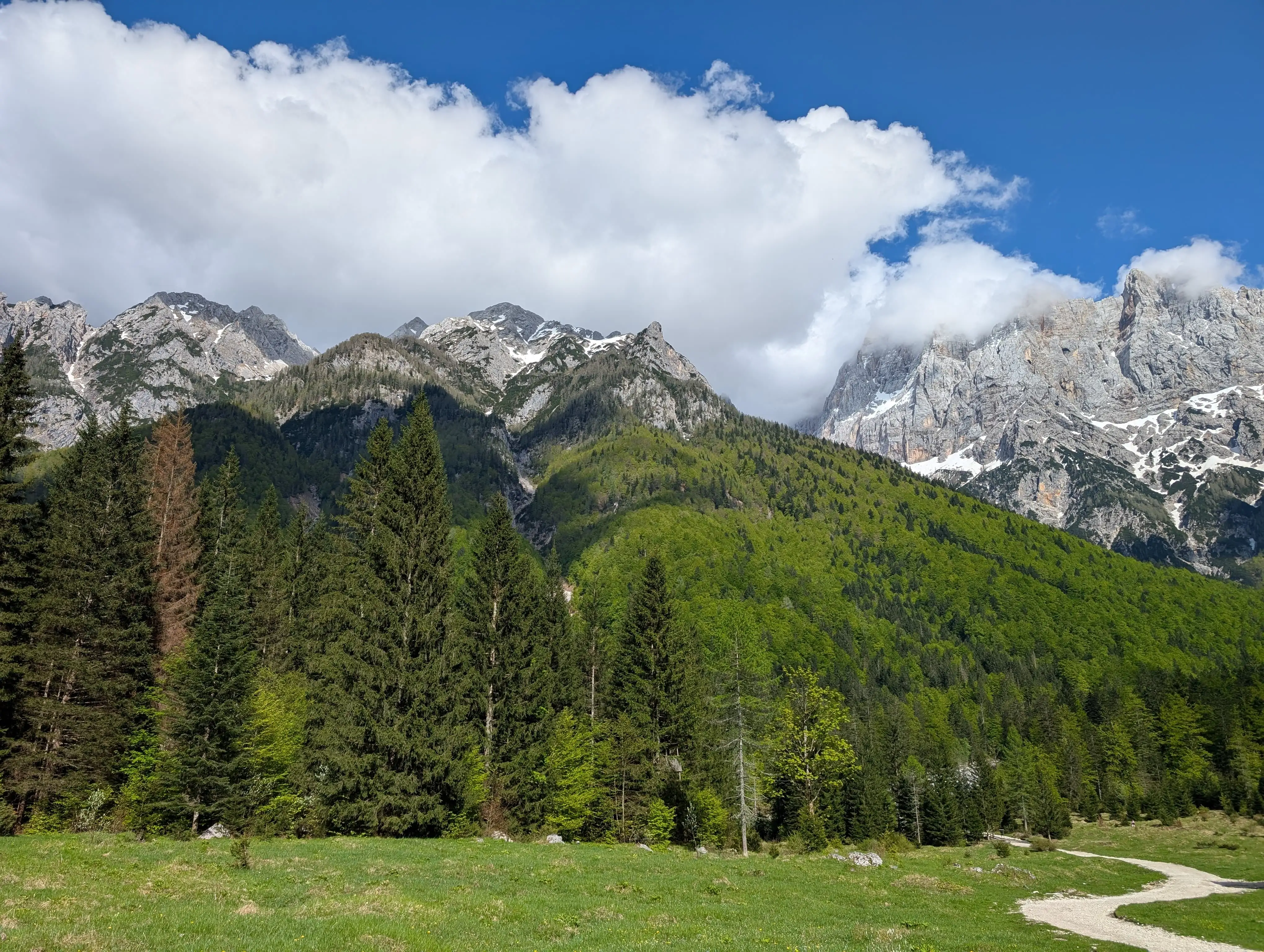 Setting off and cutting through Krnica valley. Špik and Lipnica peak can already be seen. This photo was taken on the way back because in the morning peaks were hidden in the clouds.
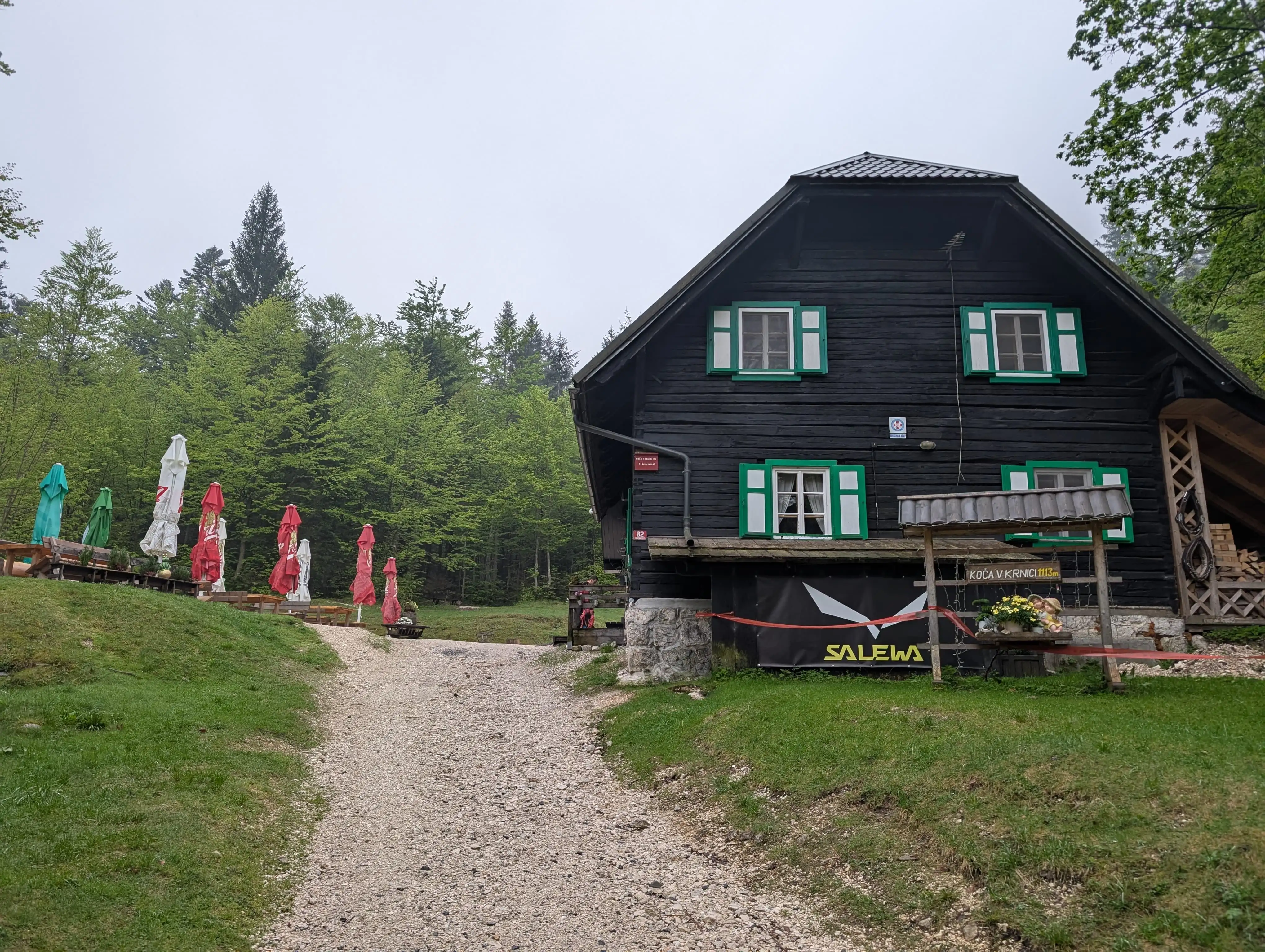 Koča v Krnici mountain hut, that's a sign we need to turn left behind that rows of garden umbrellas.
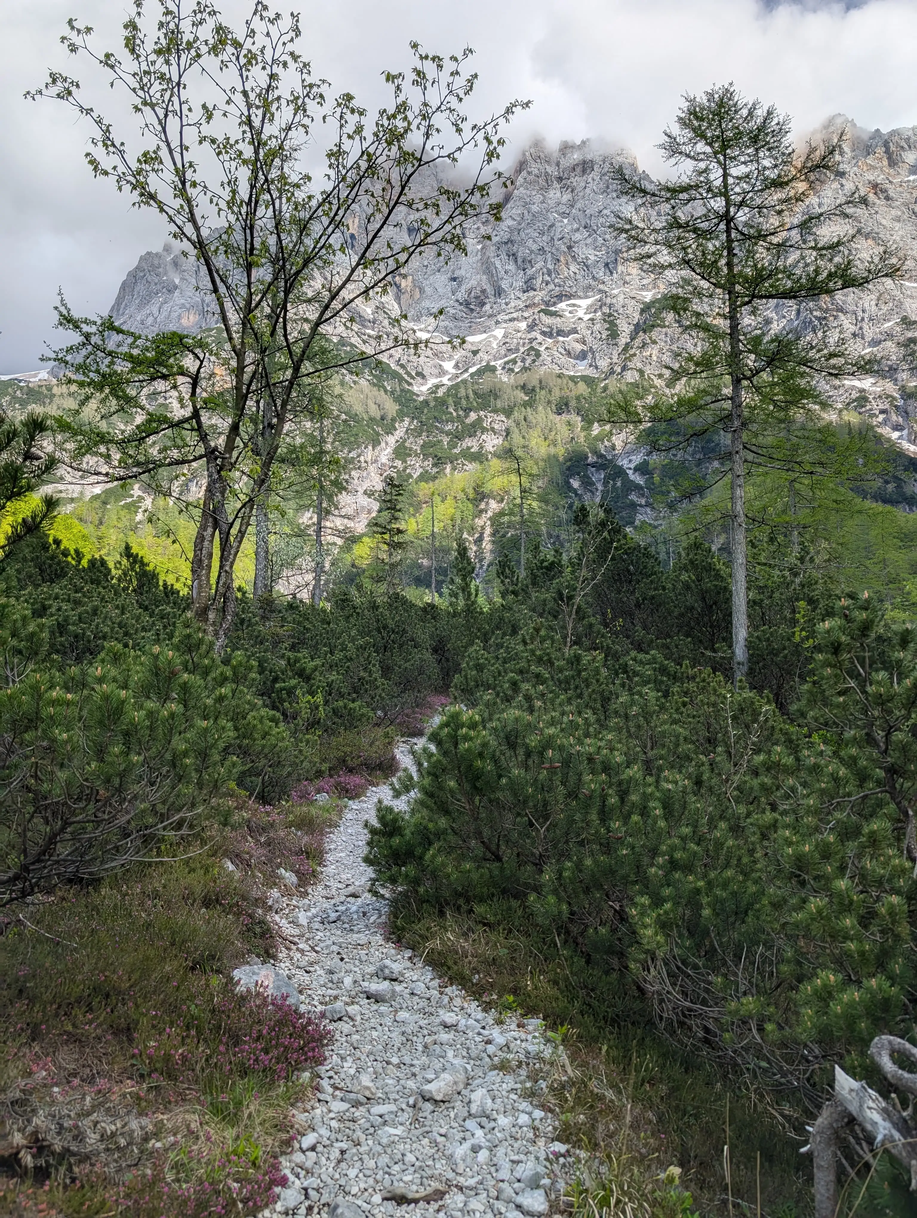 Path in the lower part of the ascent.
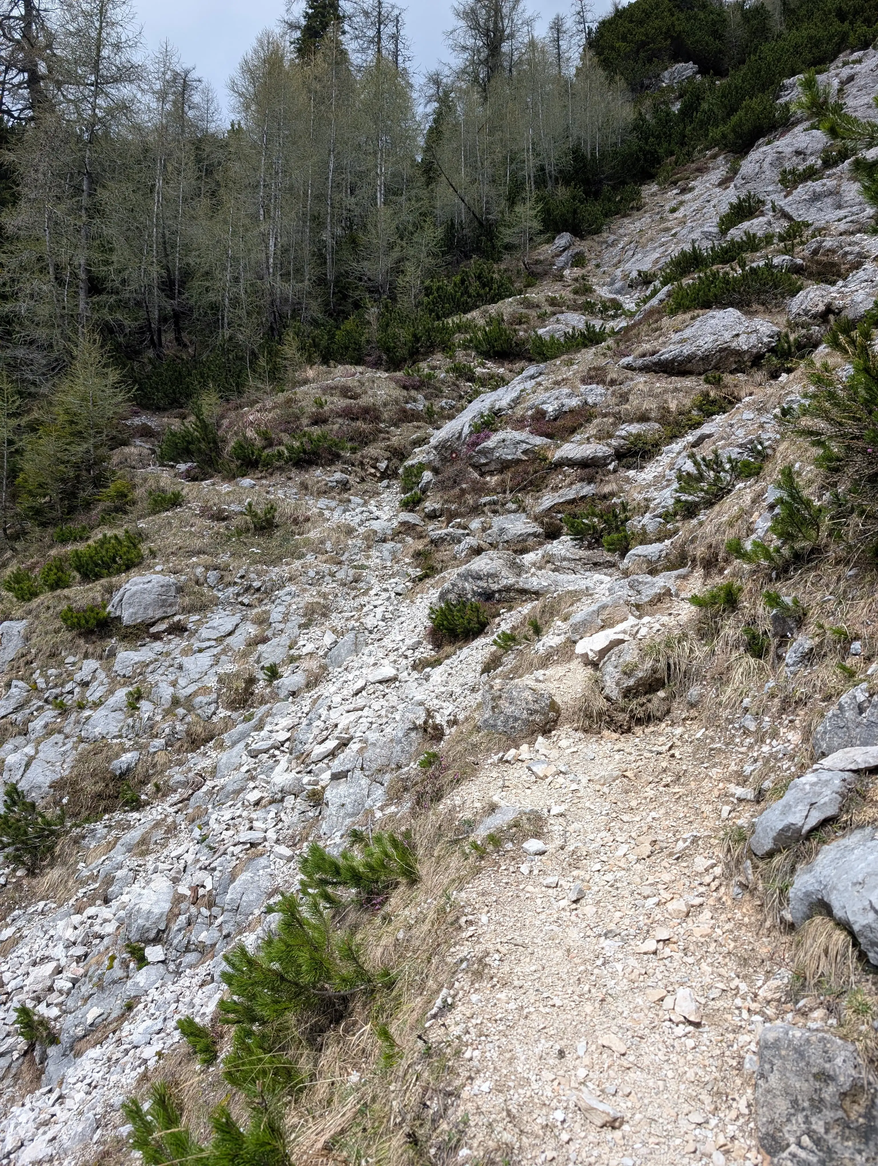 Trail above dry river beds crossing.
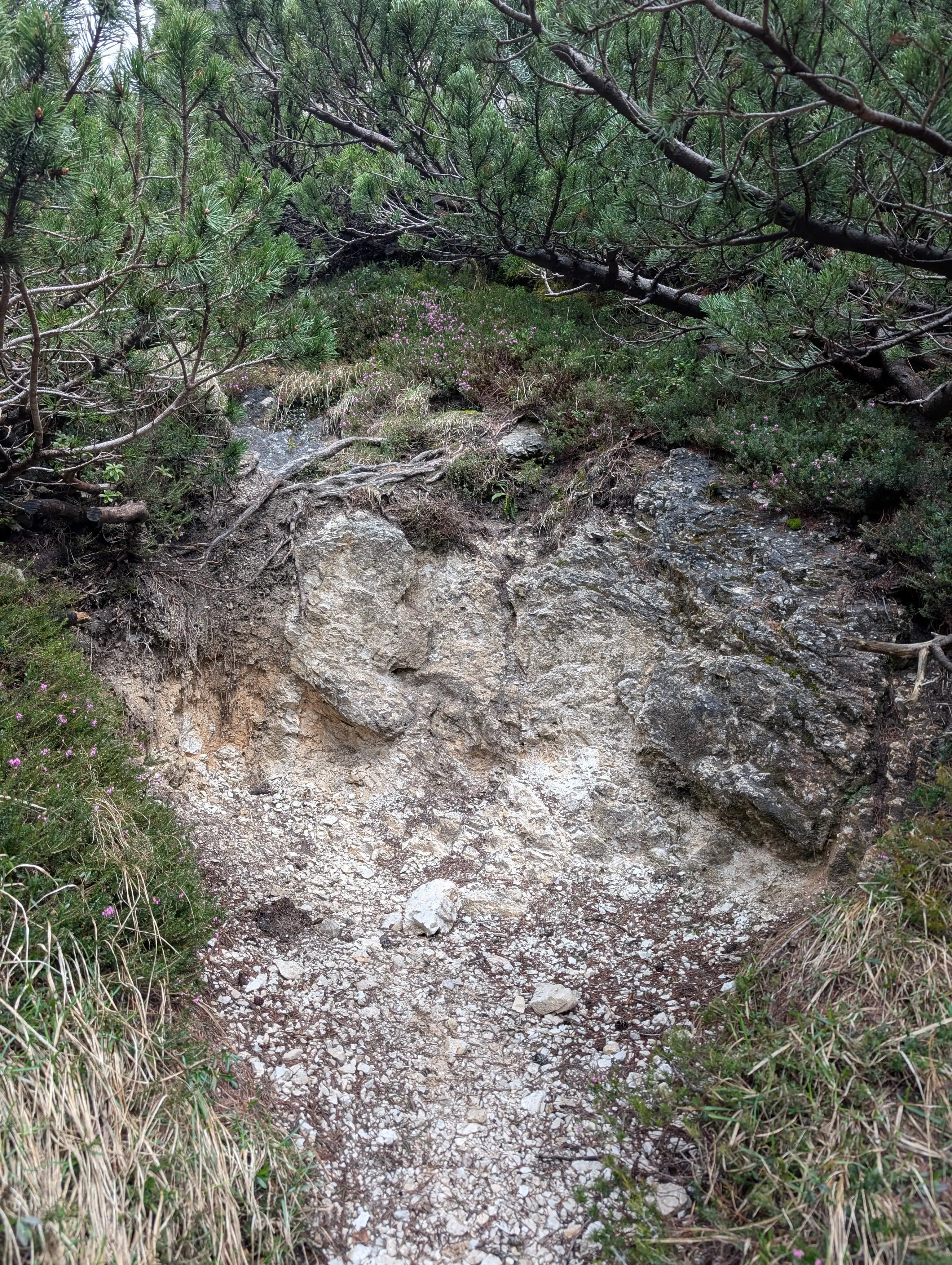 There are some spots that require usage of hands, this is one of them.
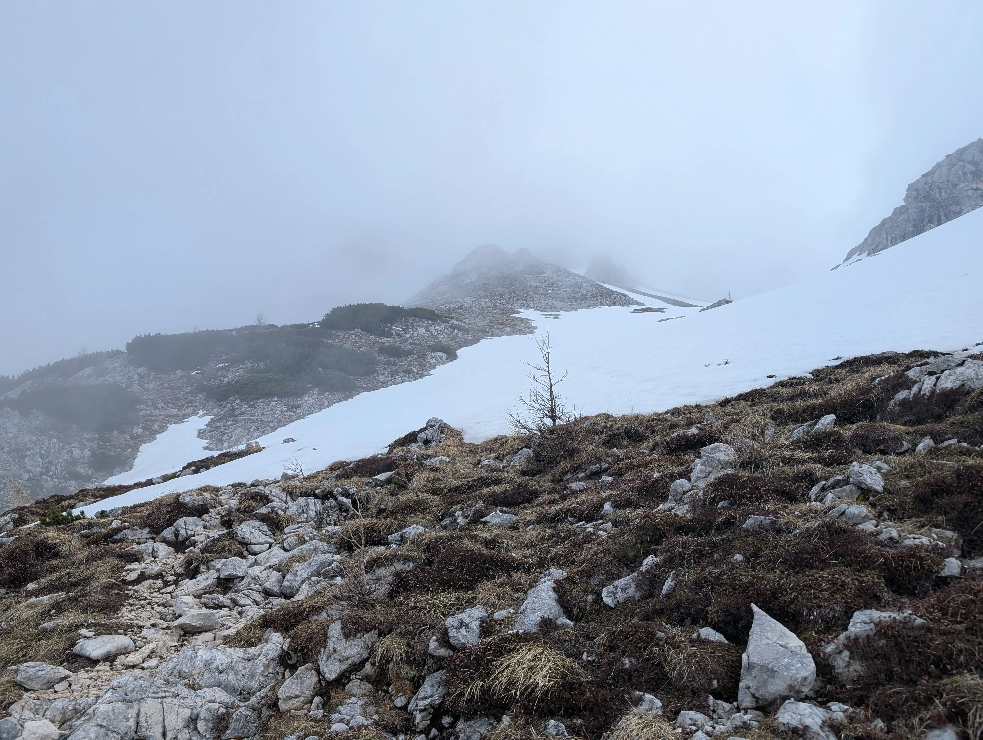 Already traversed Gamsova spica and entering a wide slope finishing just below 'Na glavach' peak.
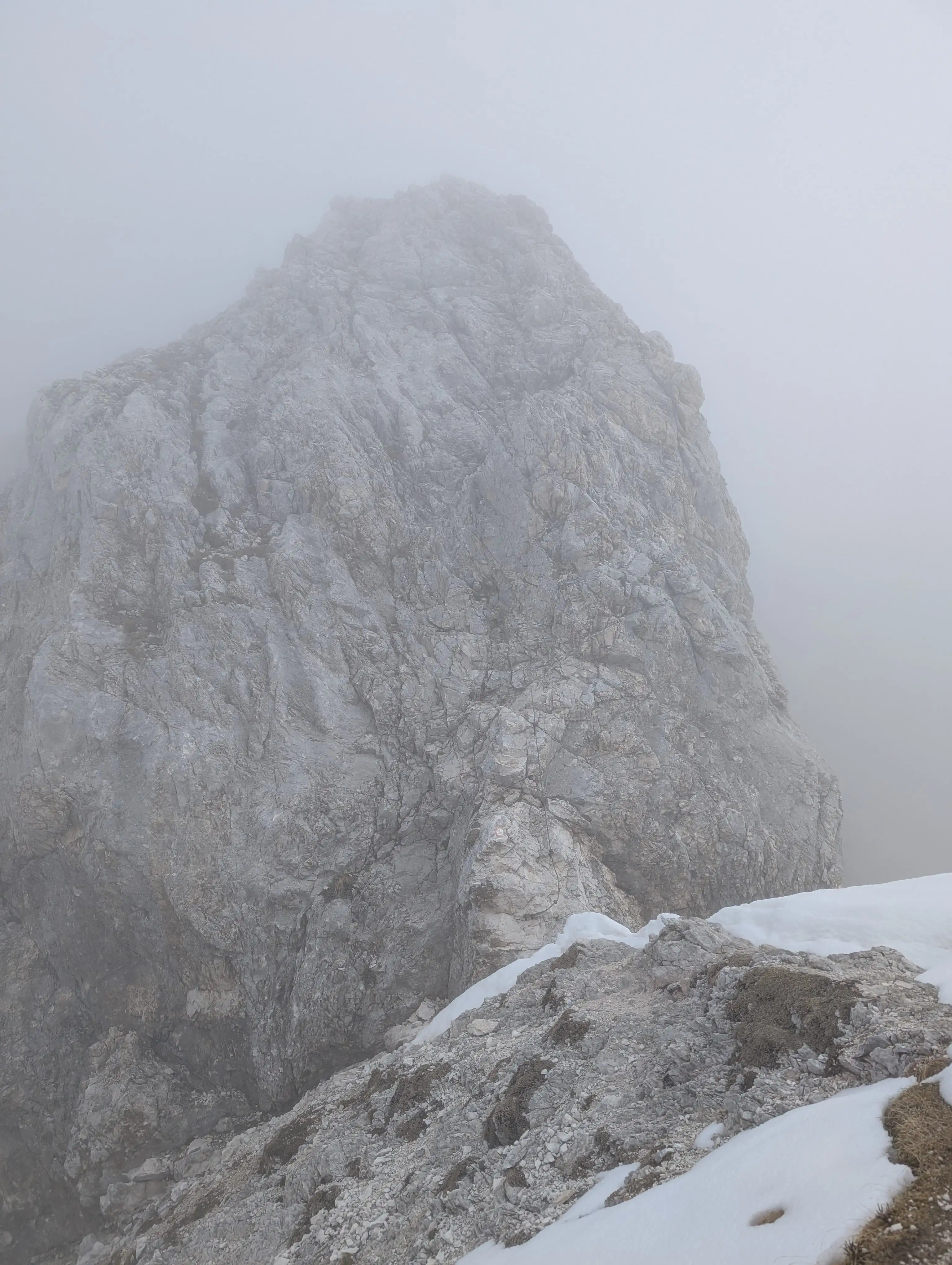 Easy part is done, now time for some challenge. There is 50 meters of metal protection in place, would rate this part maybe as B for the starting vertical moment. Rest is really easy.
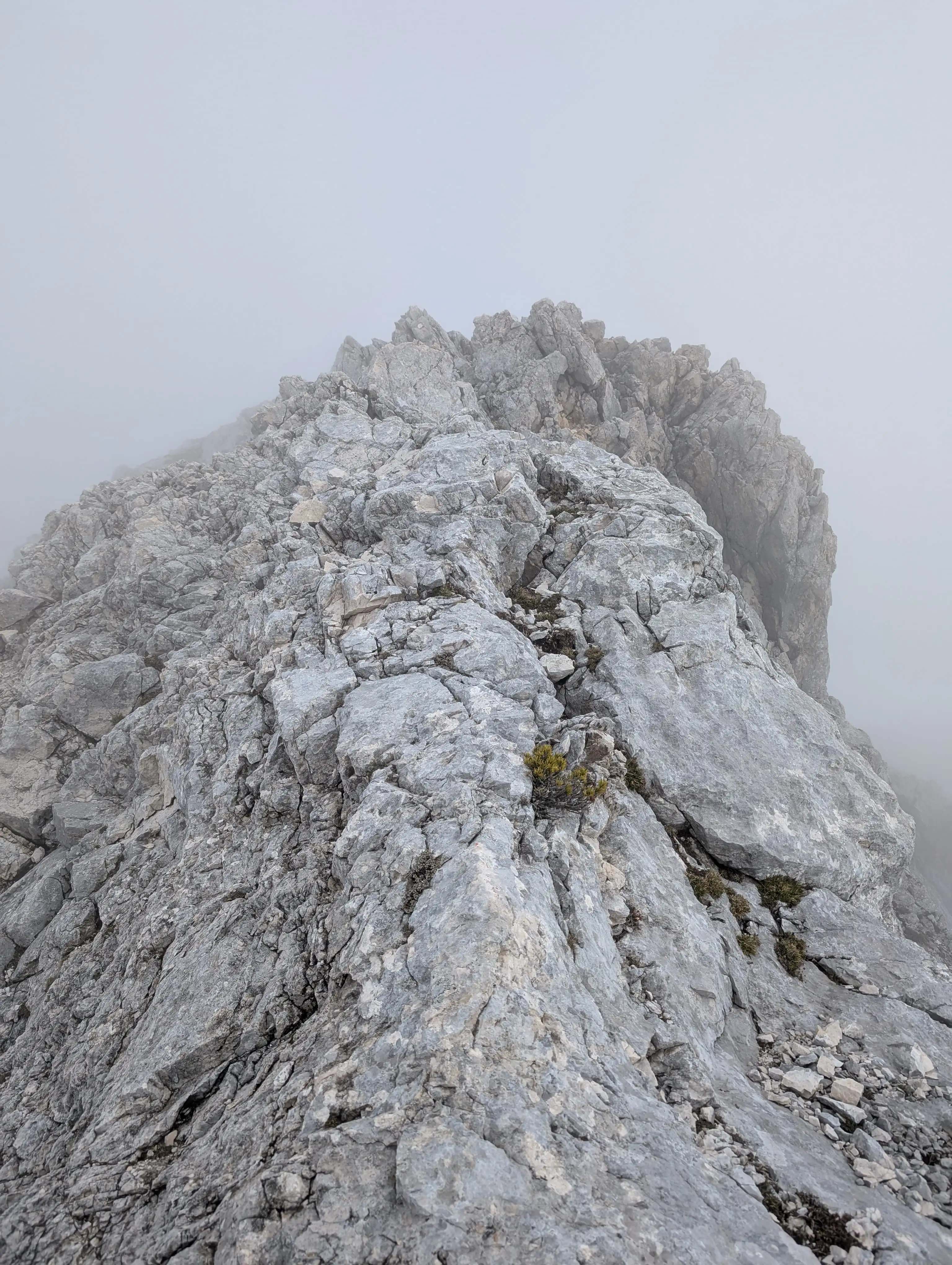 Past protection we are on a narrow ridge, it's short and soon we will land on grassy slope again to enter peak of Lipnica.
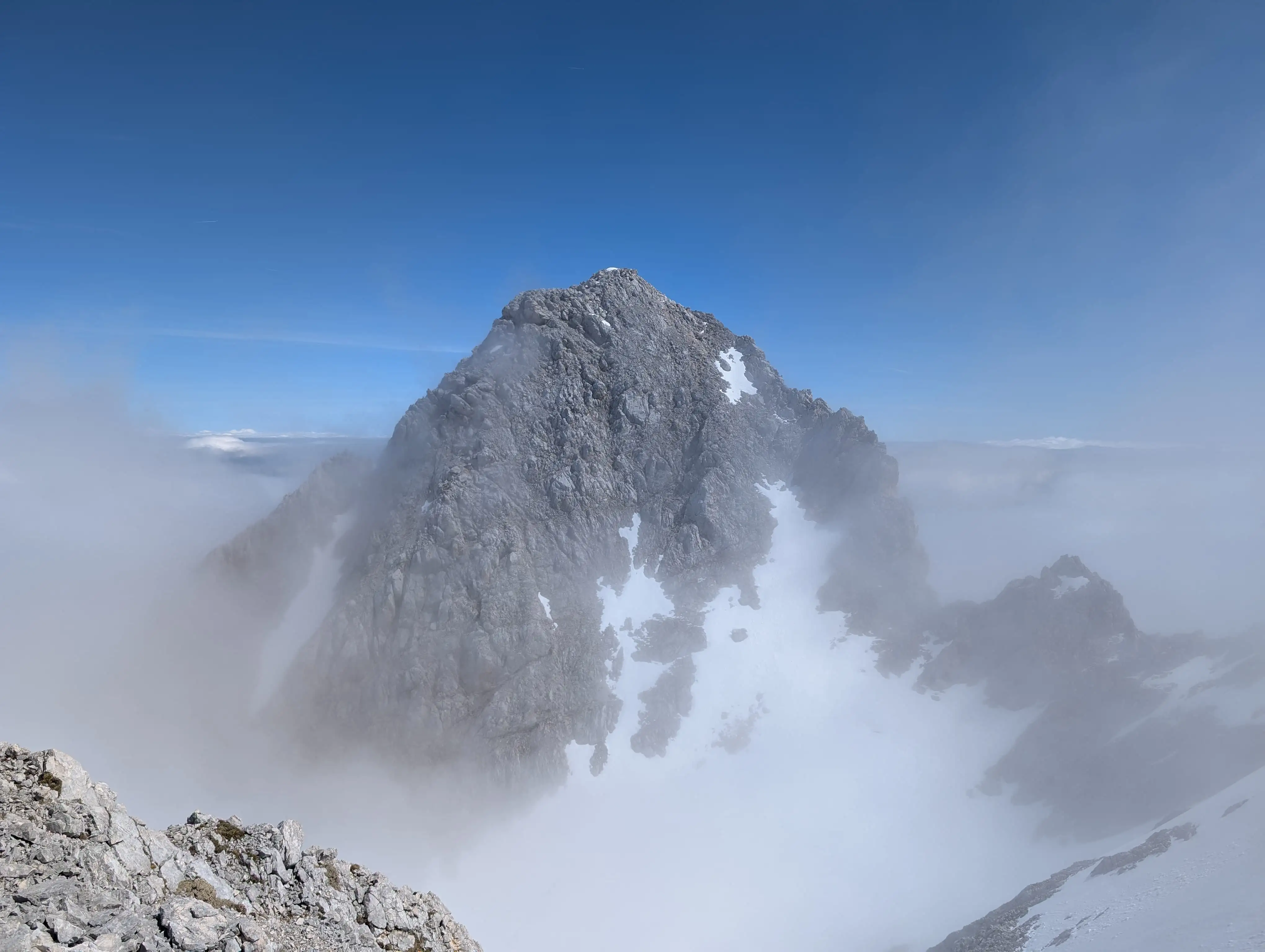 Špik as viewed from Lipnica. Rest of our route runs along that ridge on the right.
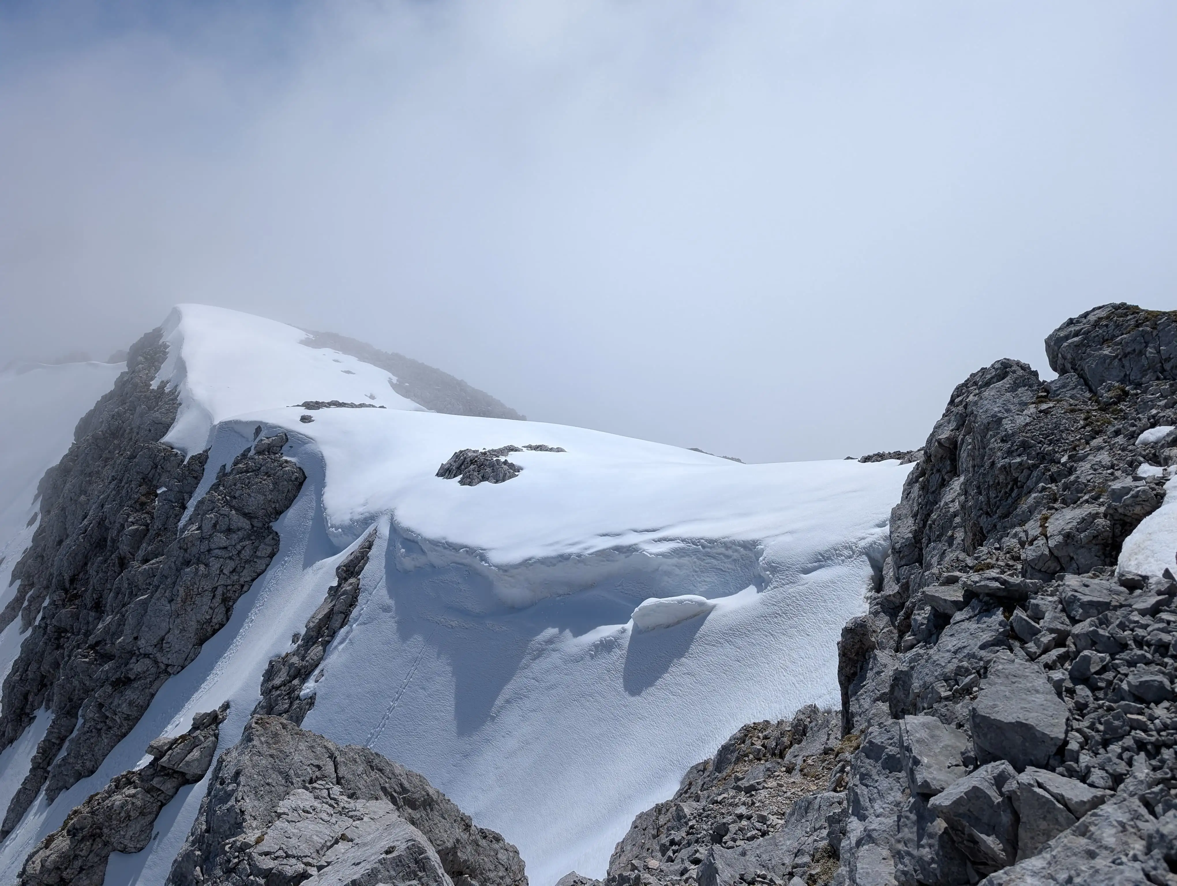 Look at the ridge between Špik and Lipnica.
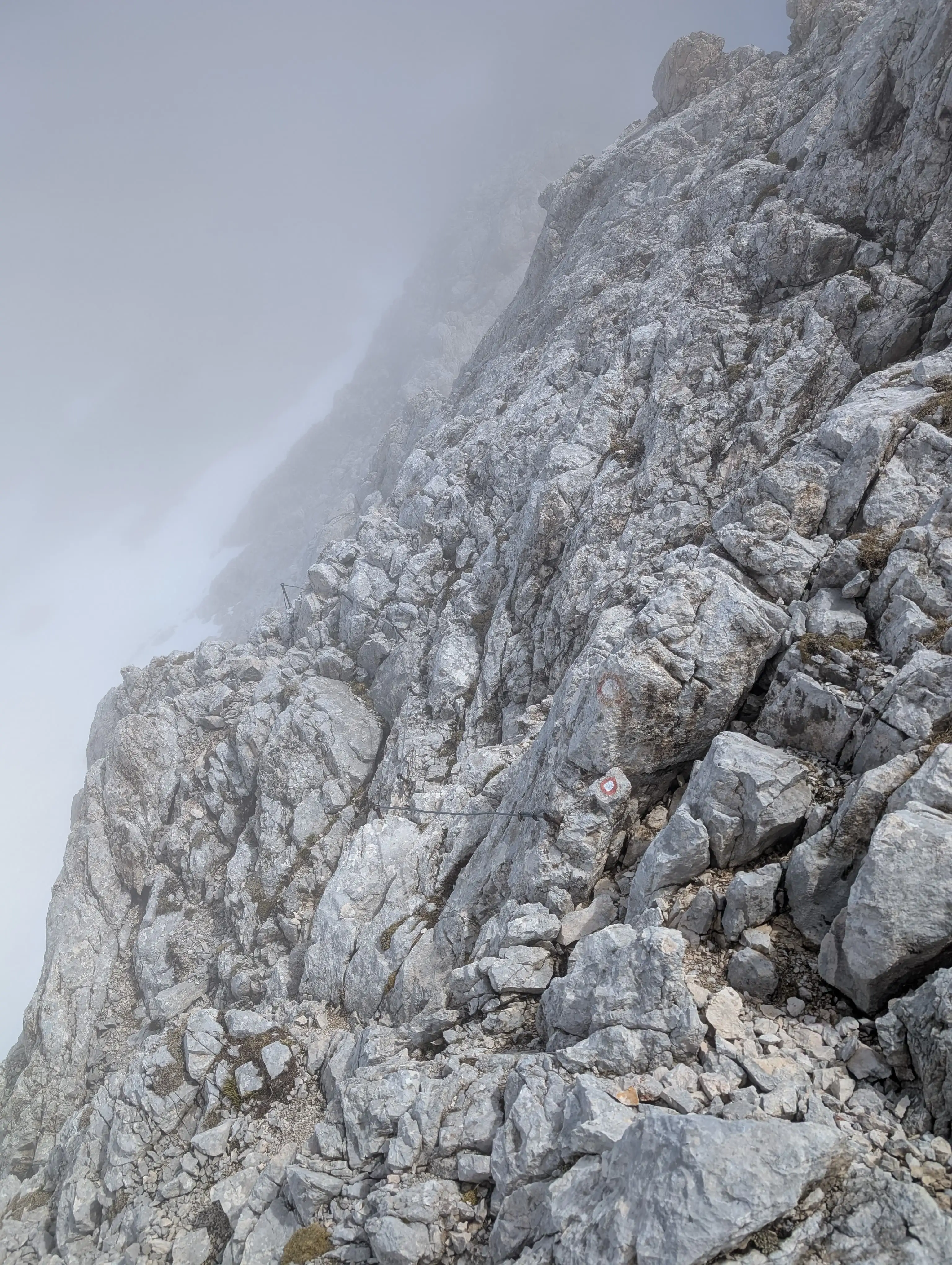 Terrain in the ridge, protection on one of couple traverses.
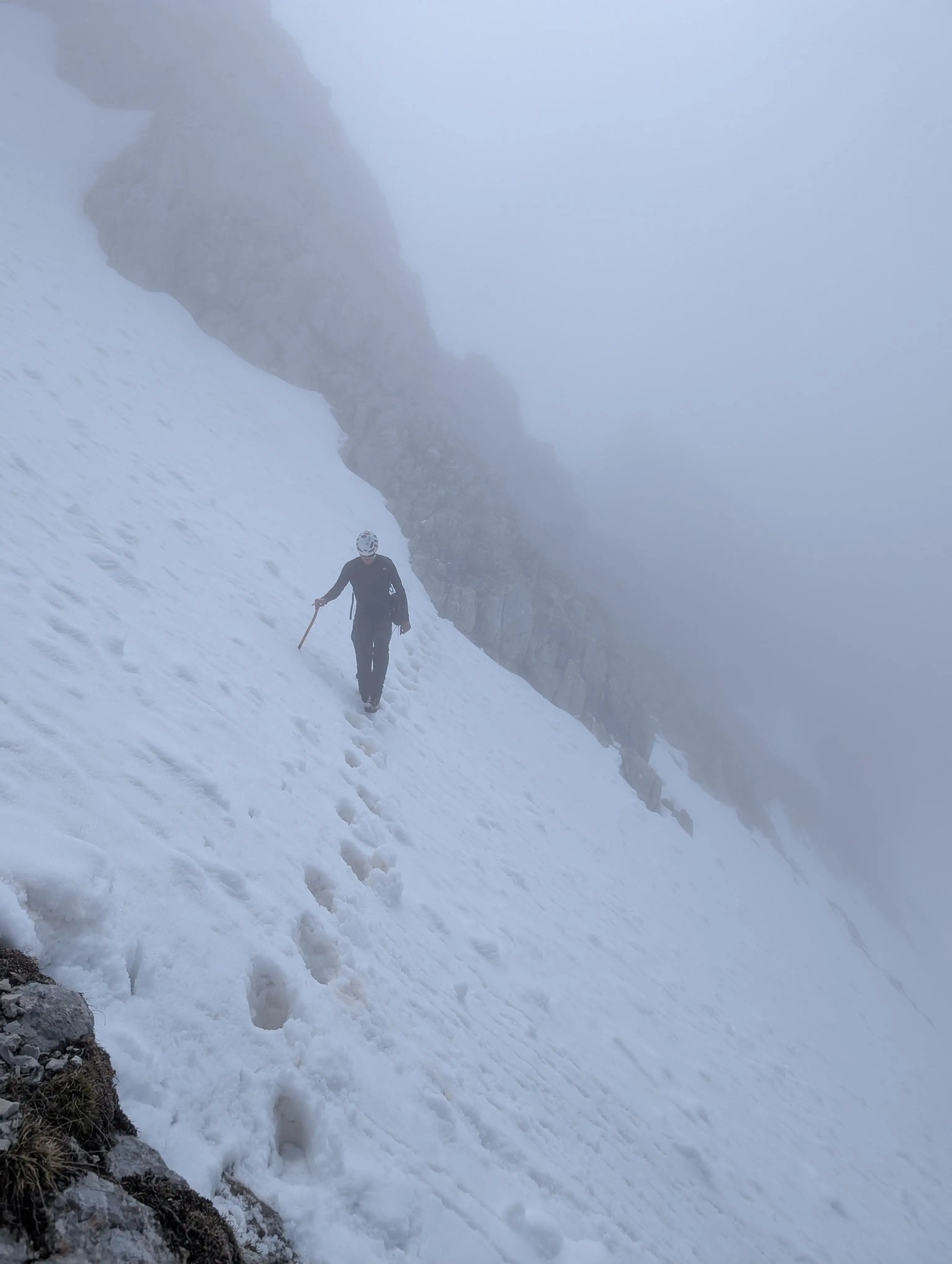 Crossing the snowfield just below the summit of Špik. Somewhere around here our route joins with Kačji graben trail.
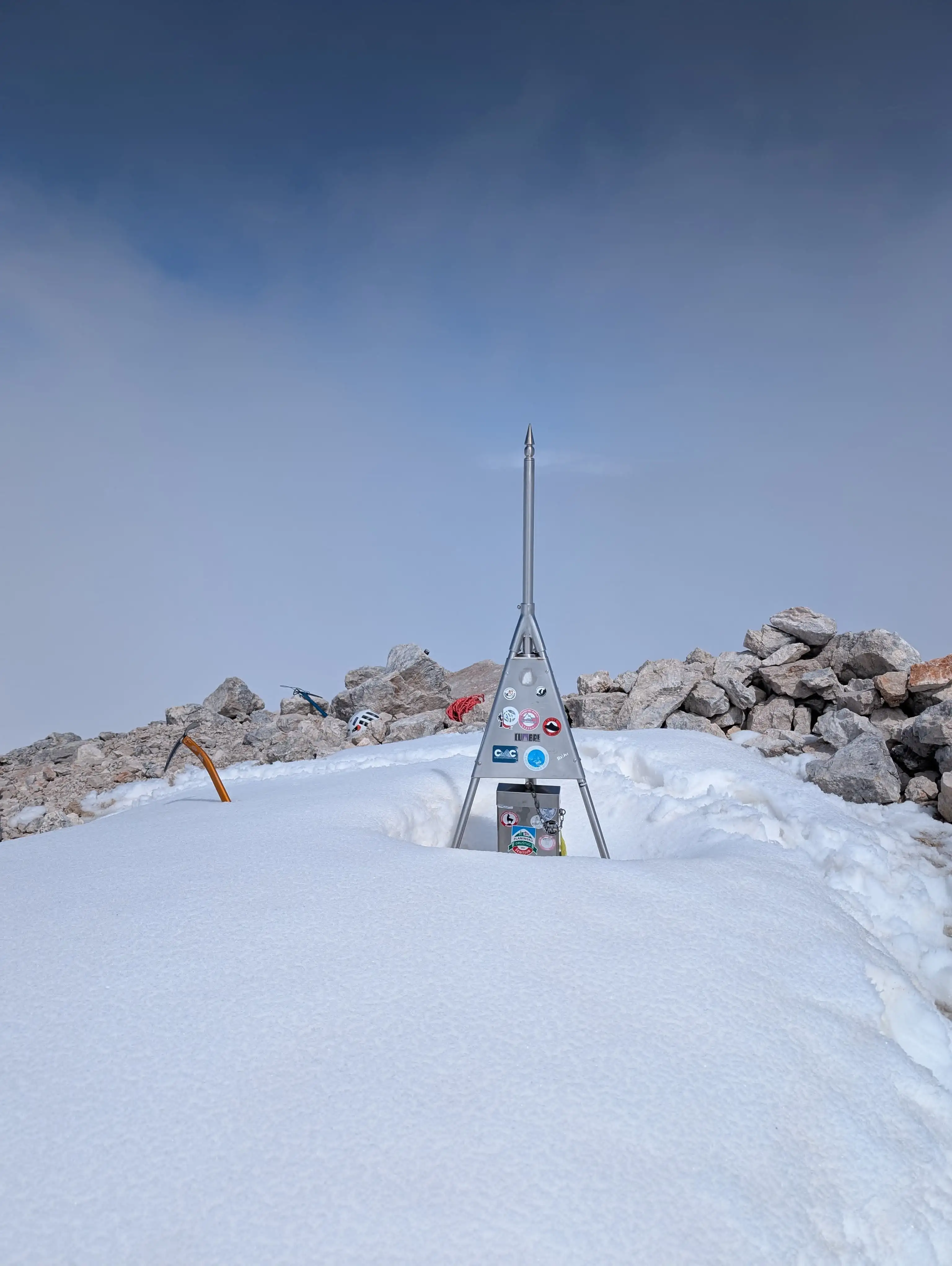 There's plenty of space on top, even some flat space. Final part of ascent is a nasty one in brittle terrain, attention is required here to stay safe and keep others safe.
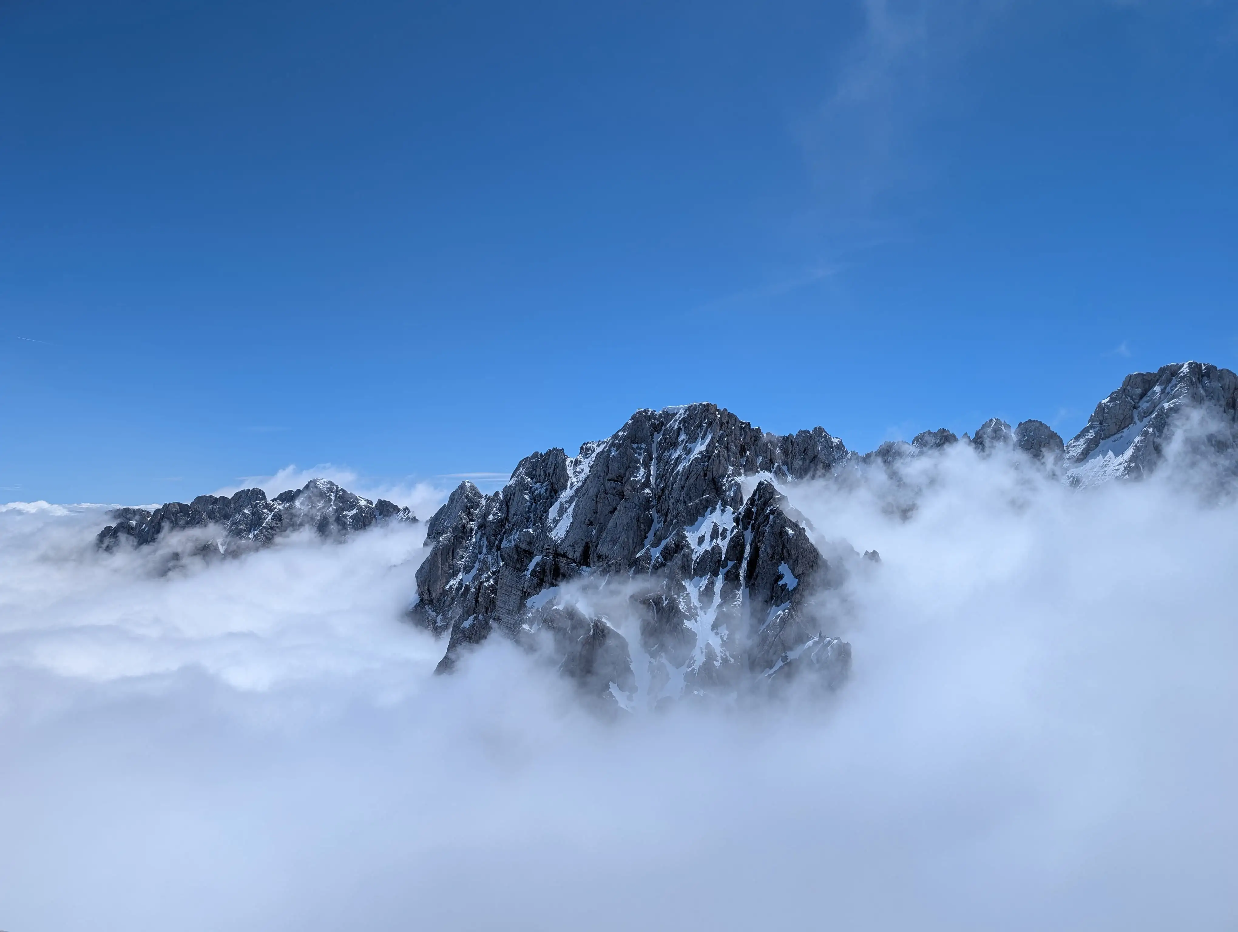 I got very limited views from the top, only in the direction of Martuljška peak group, Velika Martuljška Ponca and Škrlatica to mention the most prominent.