Vetta Bella - Rampa Mediane
Trip overview
Vetta Bella (Schönkopf, Lepa Glava) with the altitude of 2049 meters is a lesser known peak lying in Western Julian Alps in Italy. Name of the peak can be translated as 'beautiful head'. There are no marked trails going to the top. The normal route is unmarked and of II grade difficulty but is quite unpleasant with lots of loose rock.
'Rampa Mediane' runs along ramp system in southern wall of Vetta Bella, it's a middle one, between the eastern and western. It offers fairly easy climbing with spots of more technical difficulty. The route is not equipped with bolts, however there is quite plenty of pittons and bit of loops that will help us on the way. Bringing your own protection is also necessary. Quality of rock is good with minor exceptions in walking terrain which is also present on the route.
Links:TOPO of the route
Route description
Vetta Bella Rampa Mediane access (II+):
Starting from Rio Bianco parking lot we take trail no. 625 and head for Capanna Brunner lodge. From here we continue still on trail no. 625 in direction of Forcella di Rio Bianco pass and change to trail no. 630. After ascending a bit and getting closer to southern wall of Vetta Bella we turn right into a narrow path (cairn), cross the ravine and enter the ledge system, a bit of scrambling here, around II difficulty. We should pass a memorial board on our left but we continue up, in direction where eastern and southern wall join. Watch out for wet spots.
Vetta Bella Rampa Mediane description:
For the detailed route description please refer to the topo and images.
Vetta Bella - descent (II):
Route exits about 100 meters below the peak of Vetta Bella, we join the main path and need to walk up if we plan to get to the top. Descent path is the same as ascent path after we left the climbing route and continues on milder, eastern slopes of Vetta Bella. Further down the path is rather nasty and requires lots of attention not to slip on loose rock material. There are some passages that require usage of hands but not exceeding II grade. There are traces of old marking in places as well as lots of cairns, however the path is well trodden and easy to navigate. In about 1 hour we should be back on trail no. 625 by Capanna Brunner lodge and follow it back to the parking lot.
Trip conditions
Weather:
Warm and sunny day with stronger wind in the upper parts of the climb, however short sleeve and shorts were enough to feel comfortable.
Trail:
Marked parts of the paths are in good condition and easy to follow. Normal route to Vetta Bella which is unmarked is a bit problematic and requires more attention due to loose rock material and steep sections. Climbing route rock quality is good.
Additional information
Tips and author's comments:
Entrance chimney is wet even in good weather, probably after rainfalls it gets much worse. It is possible to by-pass it using eastern ramp (refer to topo)
Dangers:
The route is relatively safe even with teams above us, however that is unlikely as it isn't a really popular one.
Gear used:
20l rucksack, climbing shoes, hiking poles, helmet, harness, personal climbing set, 60m single rope, 6 friends, 3 x quickdraw, 3 x alpine quickdraw, nuts, couple of loops
Transportation:
Starting point reached by car. There is a big paid parking available 100 meters from start of the trail, price is 8 EUR per day. However there are also numerous options on both sides of the road 76 if you arrive in the early morning.
Links:Parking location
Accommodation:
There is an option to stay in Capanna Brunner hunting lodge which is located quite close to the start of the trail. However for the stay we need to get the key from CAI Tarvisio alpine club.
Trip photos
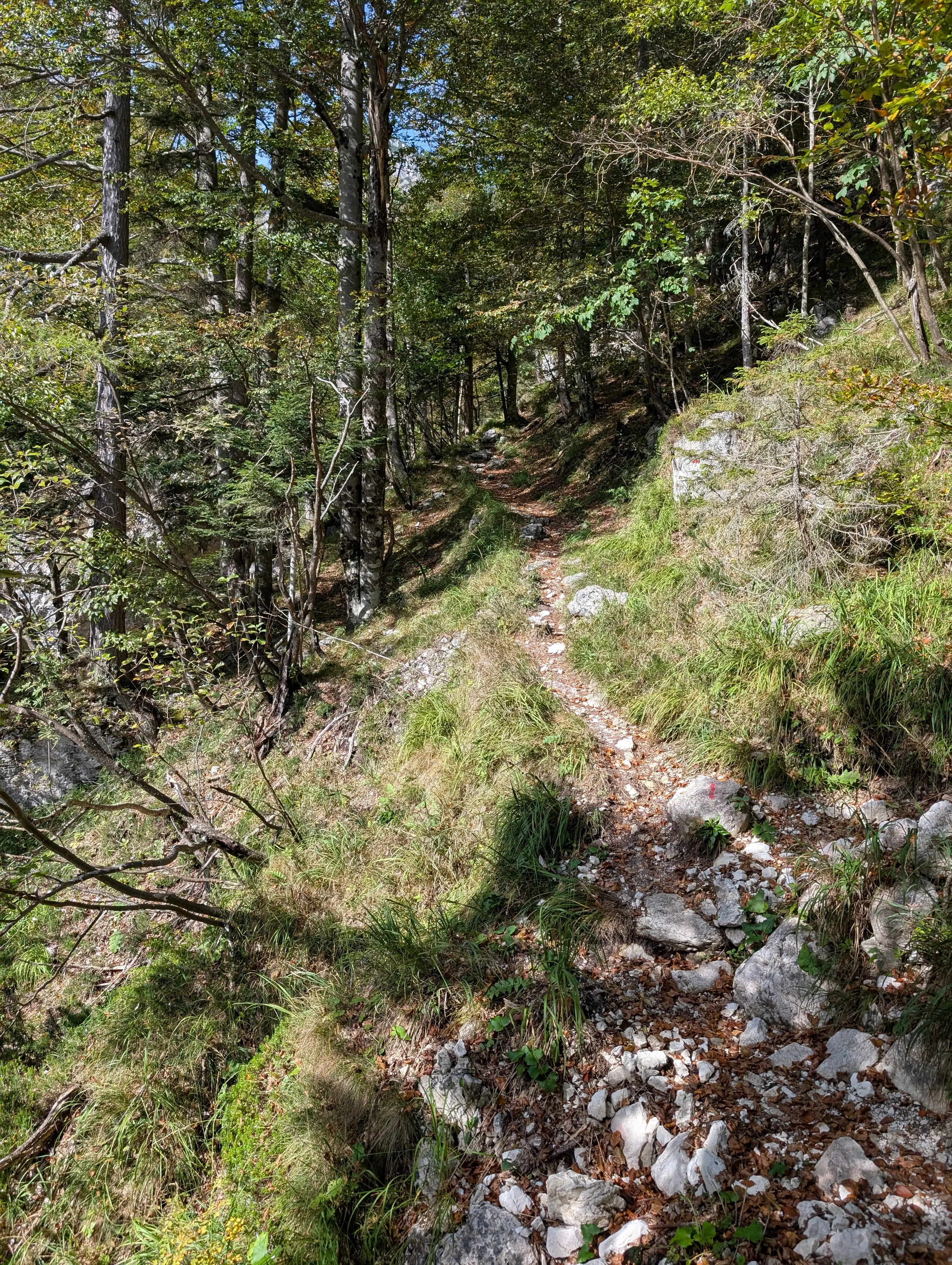 Ascent along Rio Bianco stream, not that steep and quite picturesque.
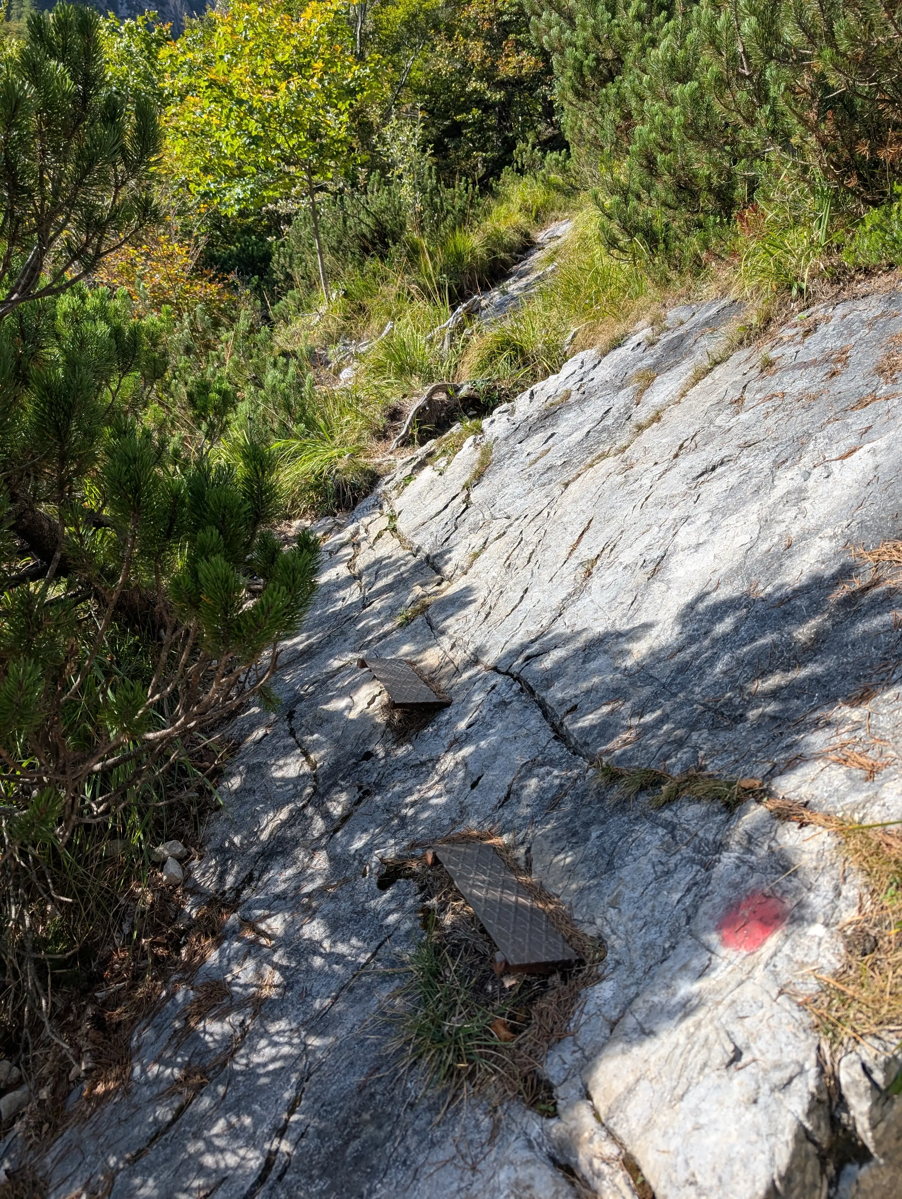 Only metal aides on the whole way up to Capanna Brunner lodge.
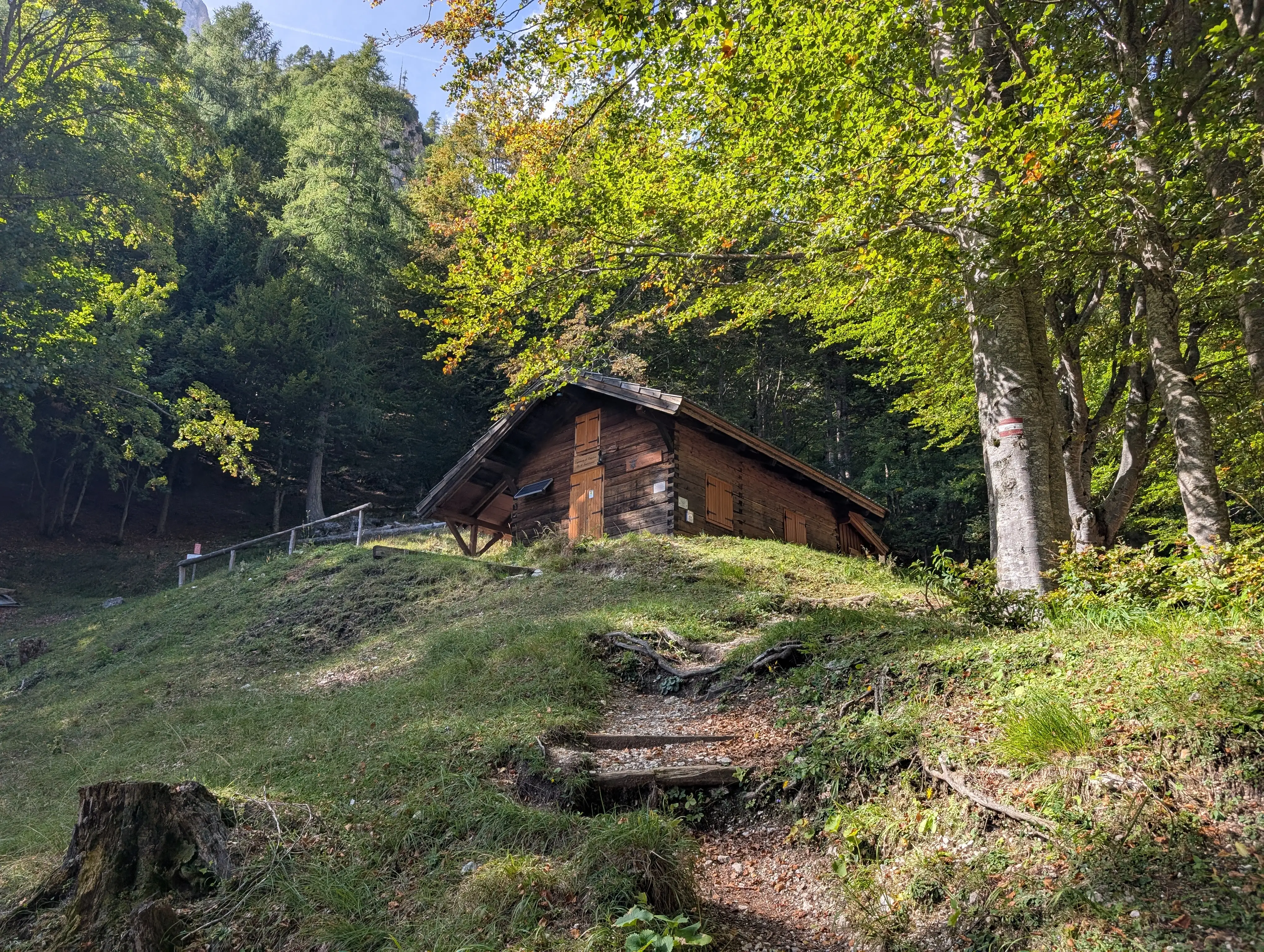 Capanna Bruner lodge is also a junction for many trails. Ours continues behind it.
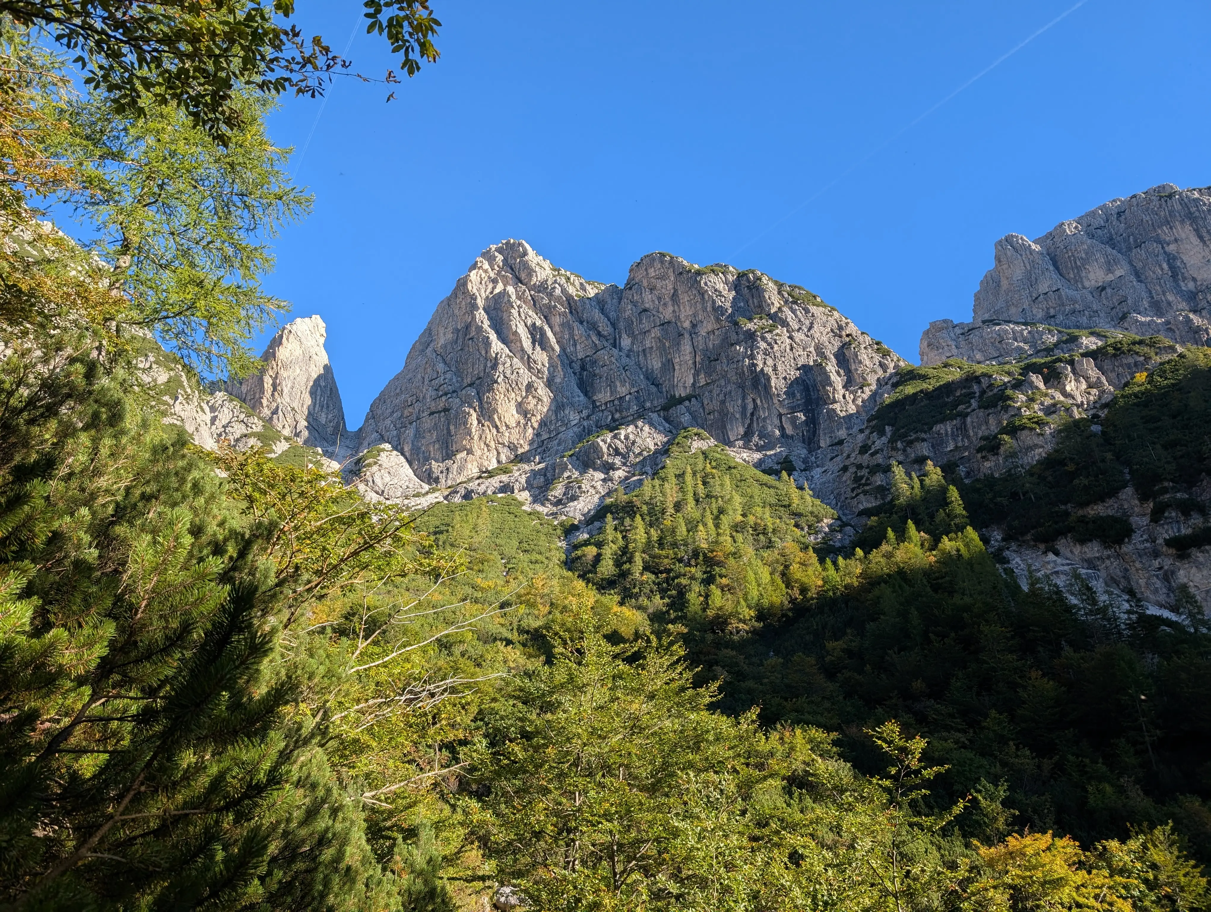 Vetta Bella in morning sun. Rampa mediane route is already visible, together with other two ramps. On the left - Pan di Zucchero peak (1984m), on the right Cima delle Cenge (2007m)
 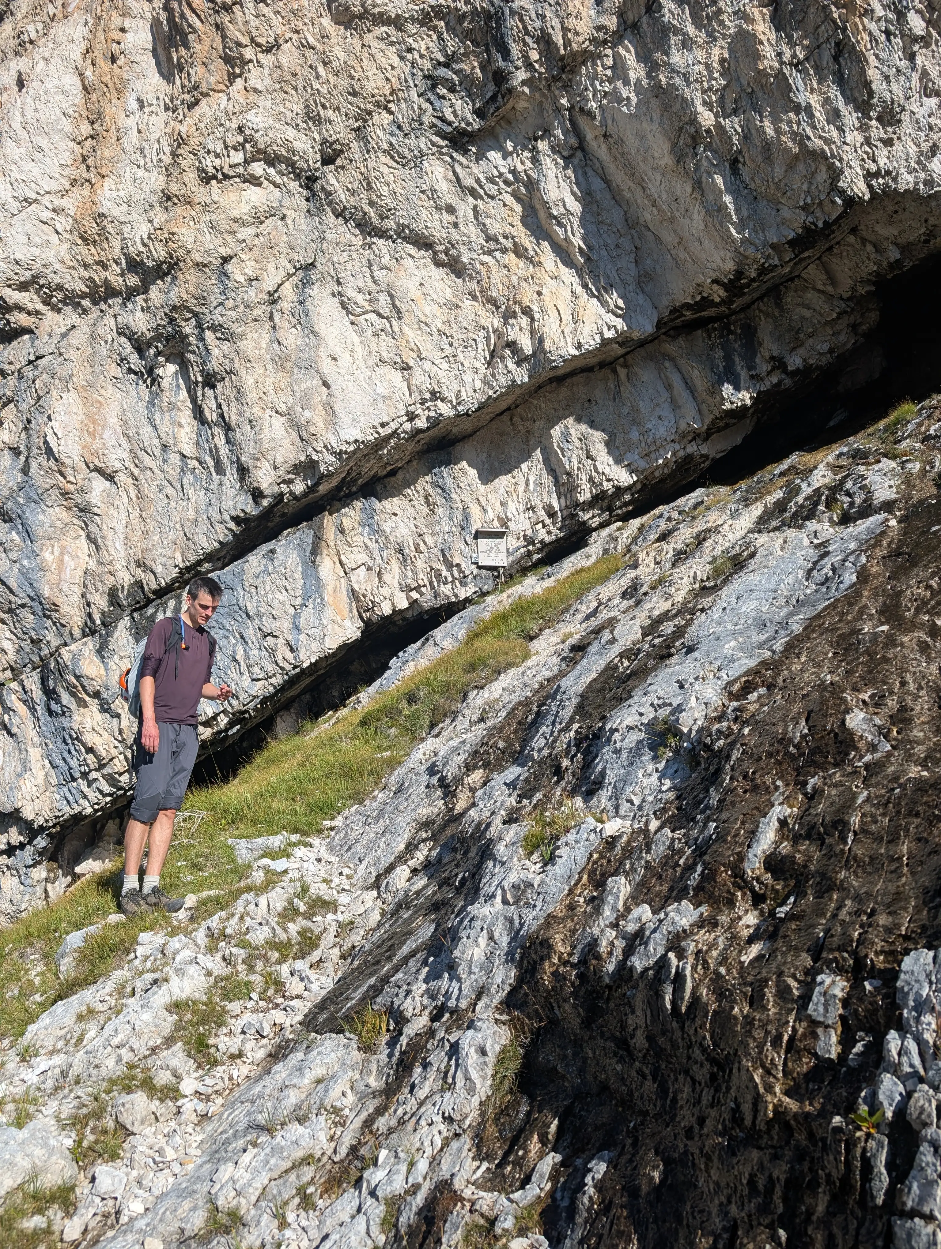 Once we leave the trail and approach the wall a bit we should see a small memorial board.
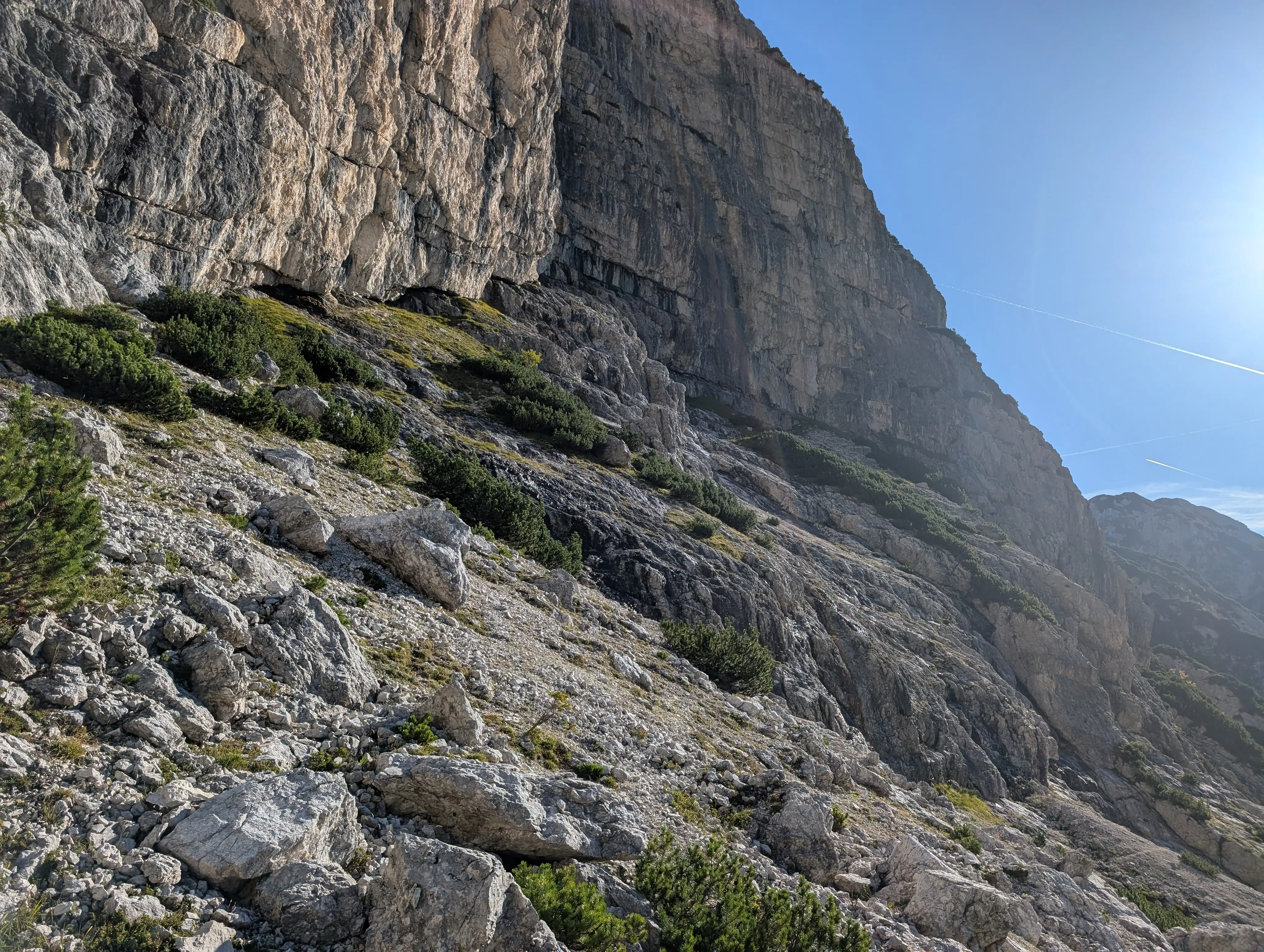 We continue up the ledge system in the direction of that black rock corner. Difficulty is around II grade, be careful because the slabs are wet in places and final part is a bit exposed.
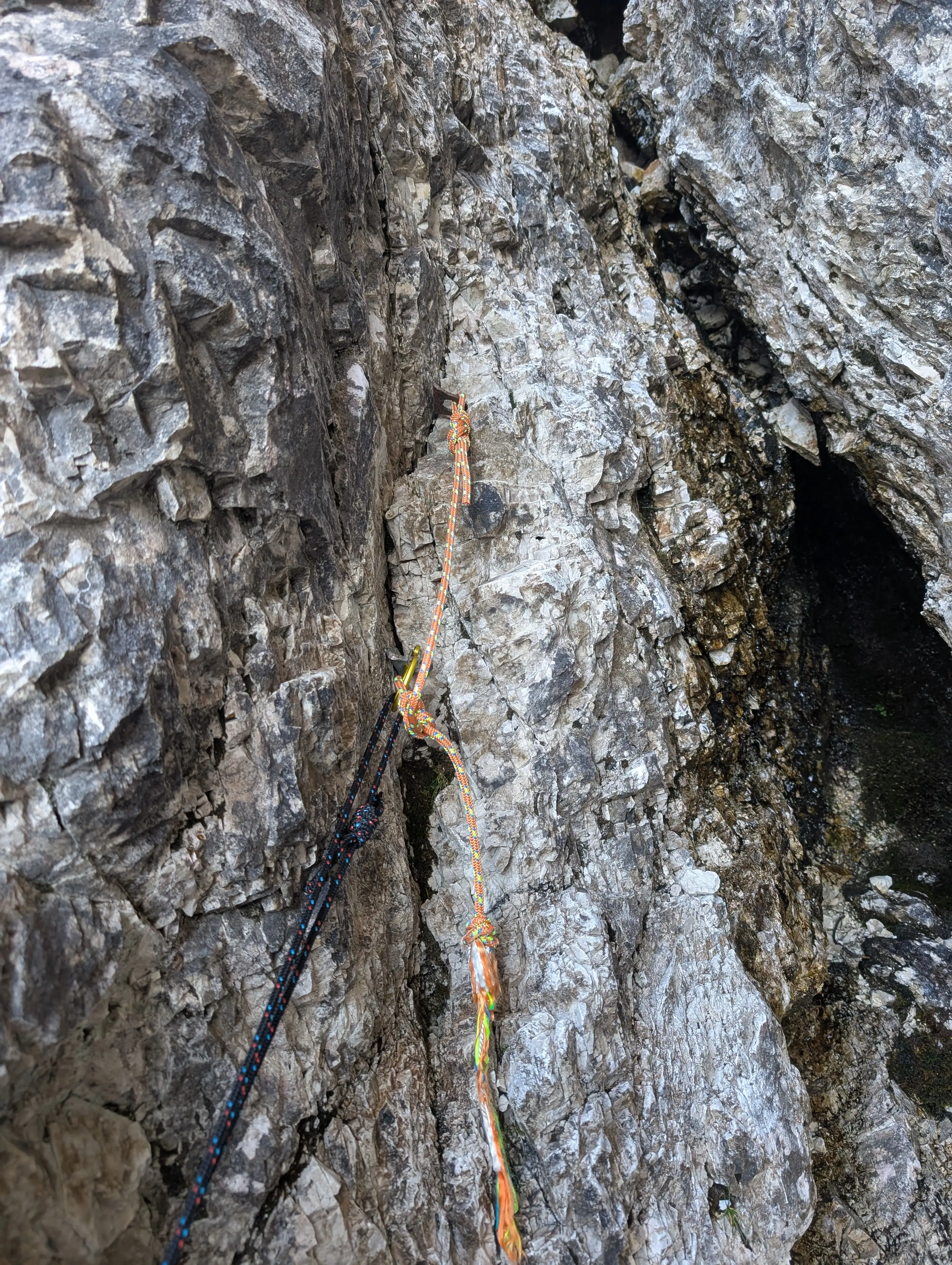 Two pittons in the first belay.
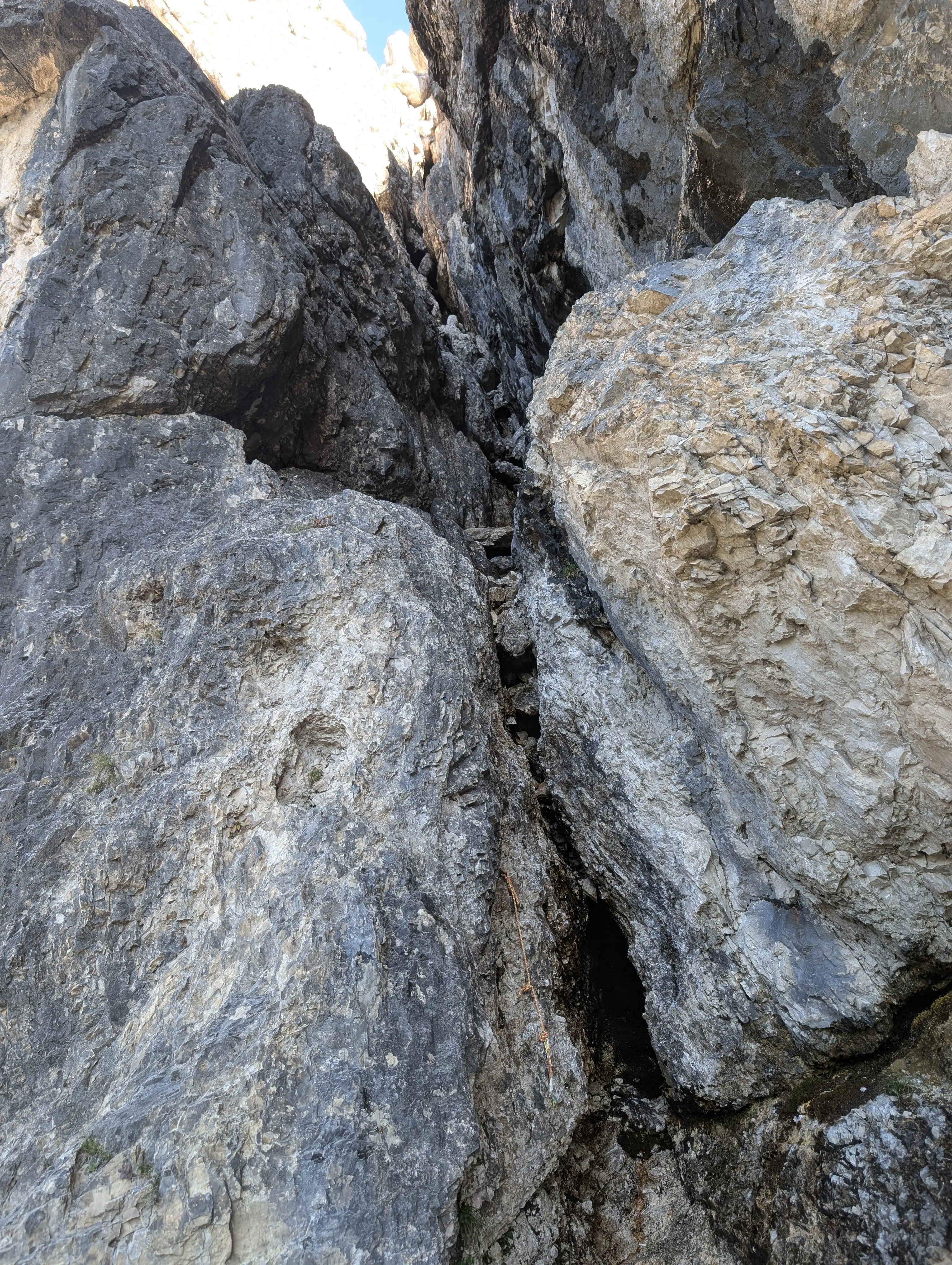 At the mouth of the entry chimney to the ramp. Where the rock is black it is also wet. Luckily in these places we are basically walking and then immediately leaving the chimney to the right. Attaco diretto!
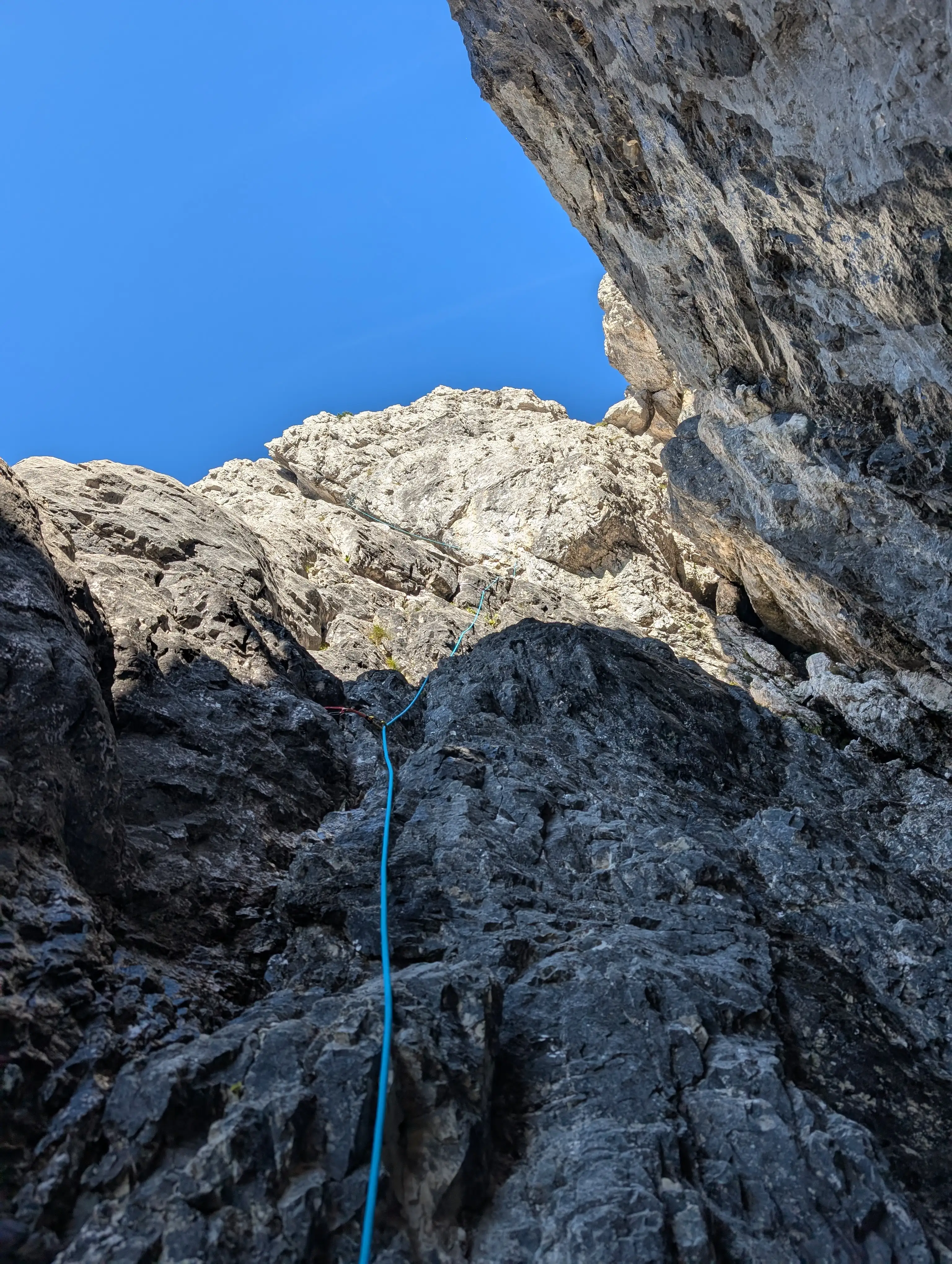 Terrain in the first pitch after leaving the actual chimney, up like the rope directs. Second belay is next to that jammed rock on right.
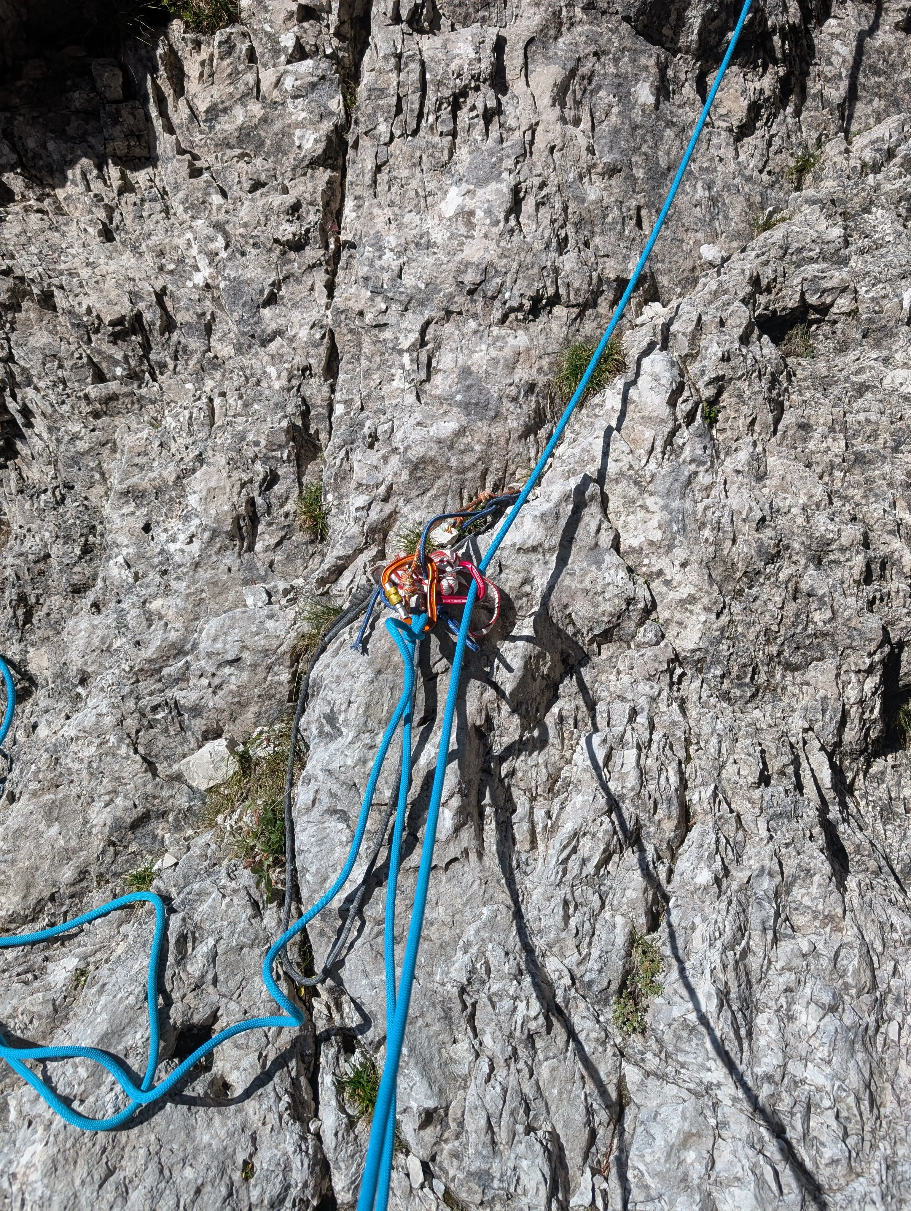 Second belay.
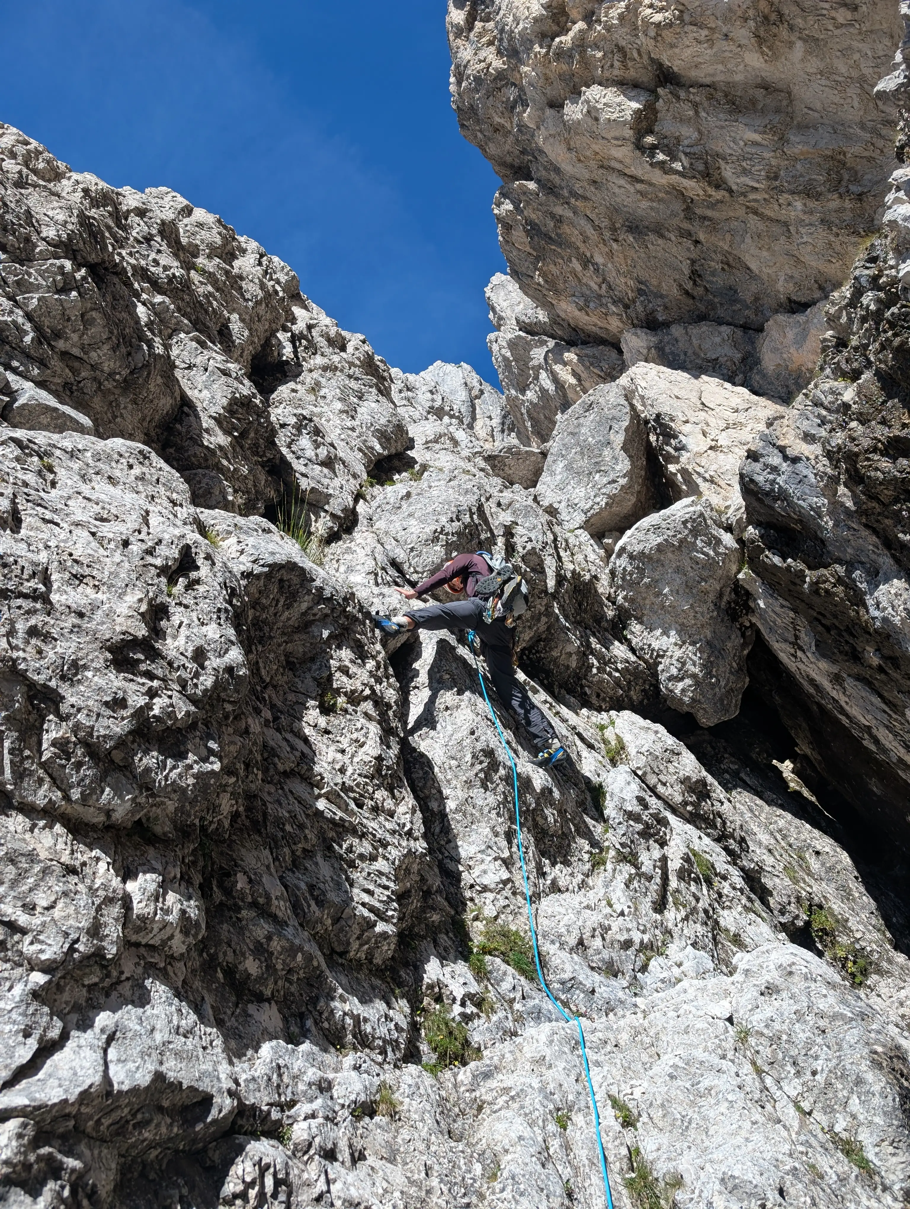 Start into the second pitch, crux is just right there in that 4 meter chimney, rest of the pitch is just a formality.
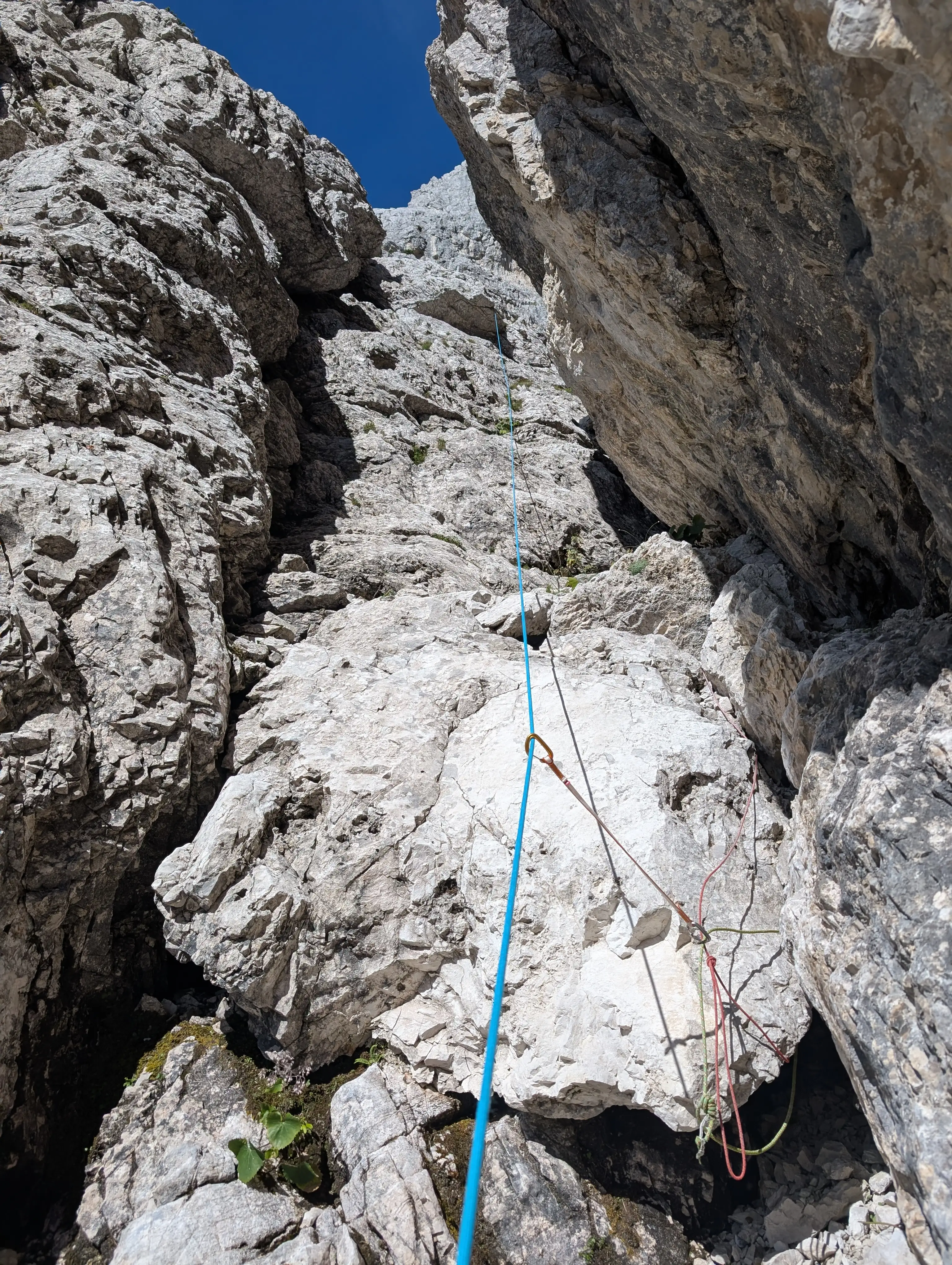 Second pitch, upper terrain, loop madness.
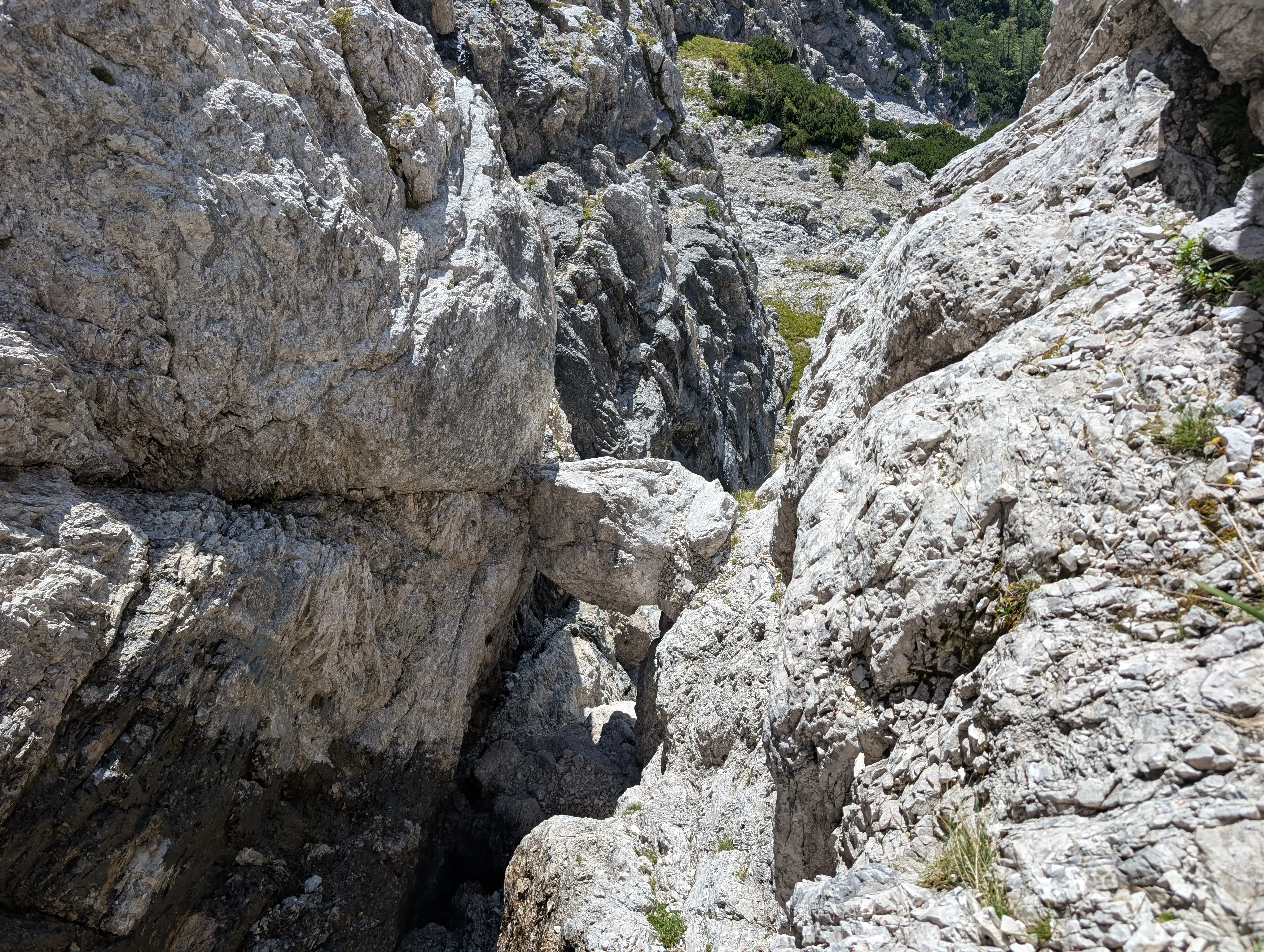 Jammed block of rock where the second belay is.
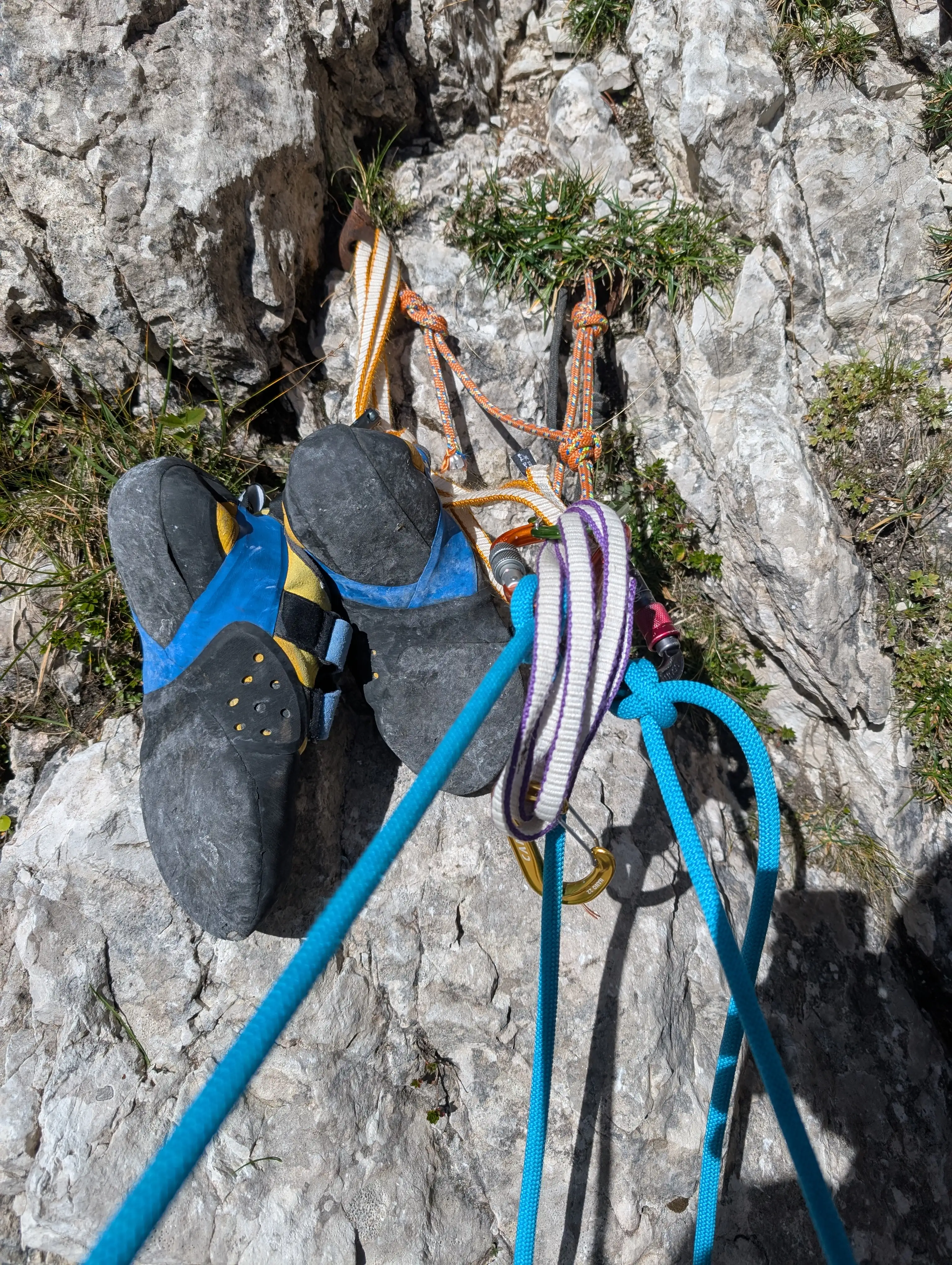 Third belay.
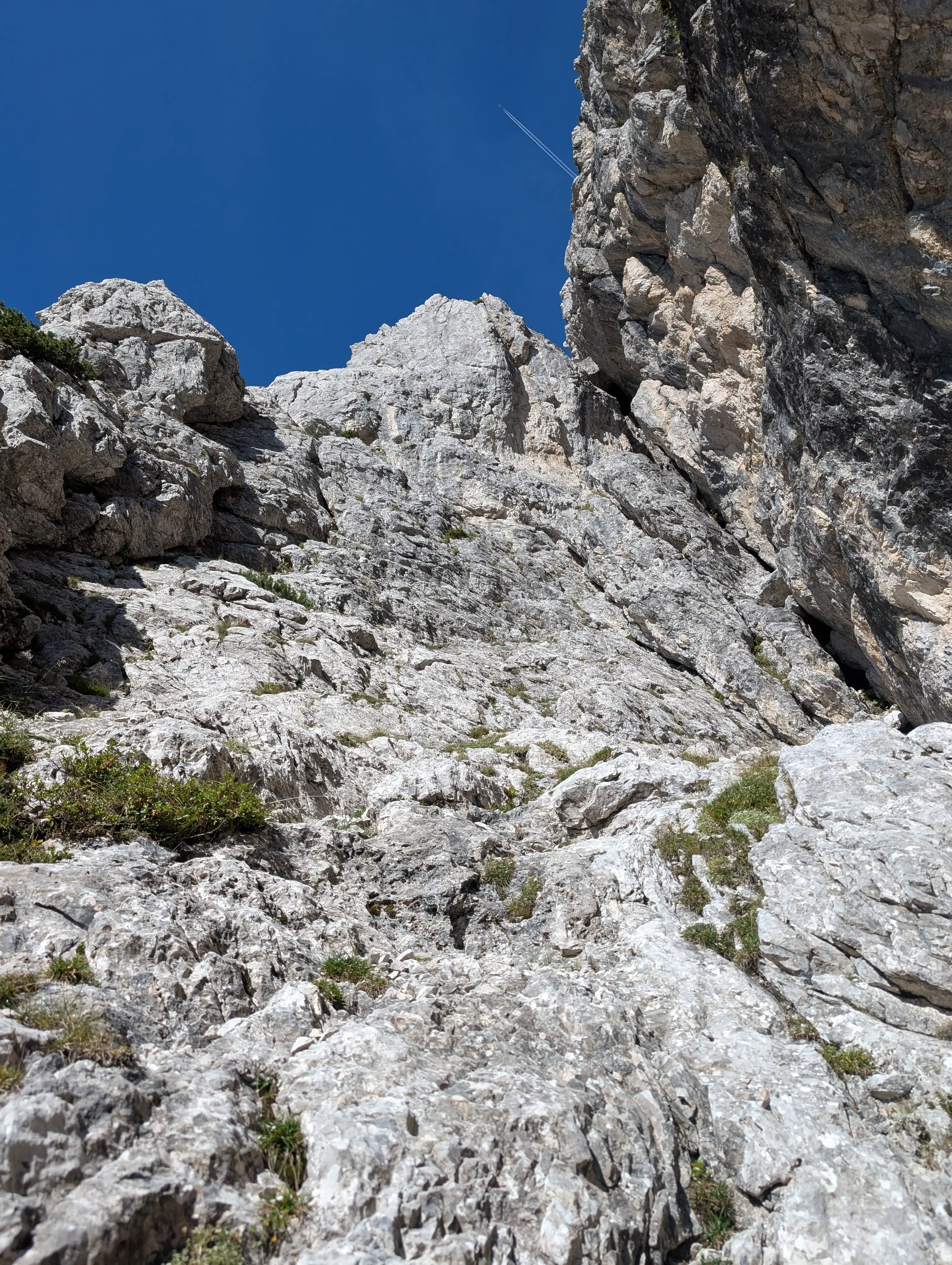 Terrain in the third pitch. According to the topo we should keep to the left and land under that lower shaded overhang. This is where fourth pitch starts. However we went more to the right side as far as yellow rocks, there is also a belay in there which we used as an anchor point and continued left via the ramp to tiny col under the rocky tower.
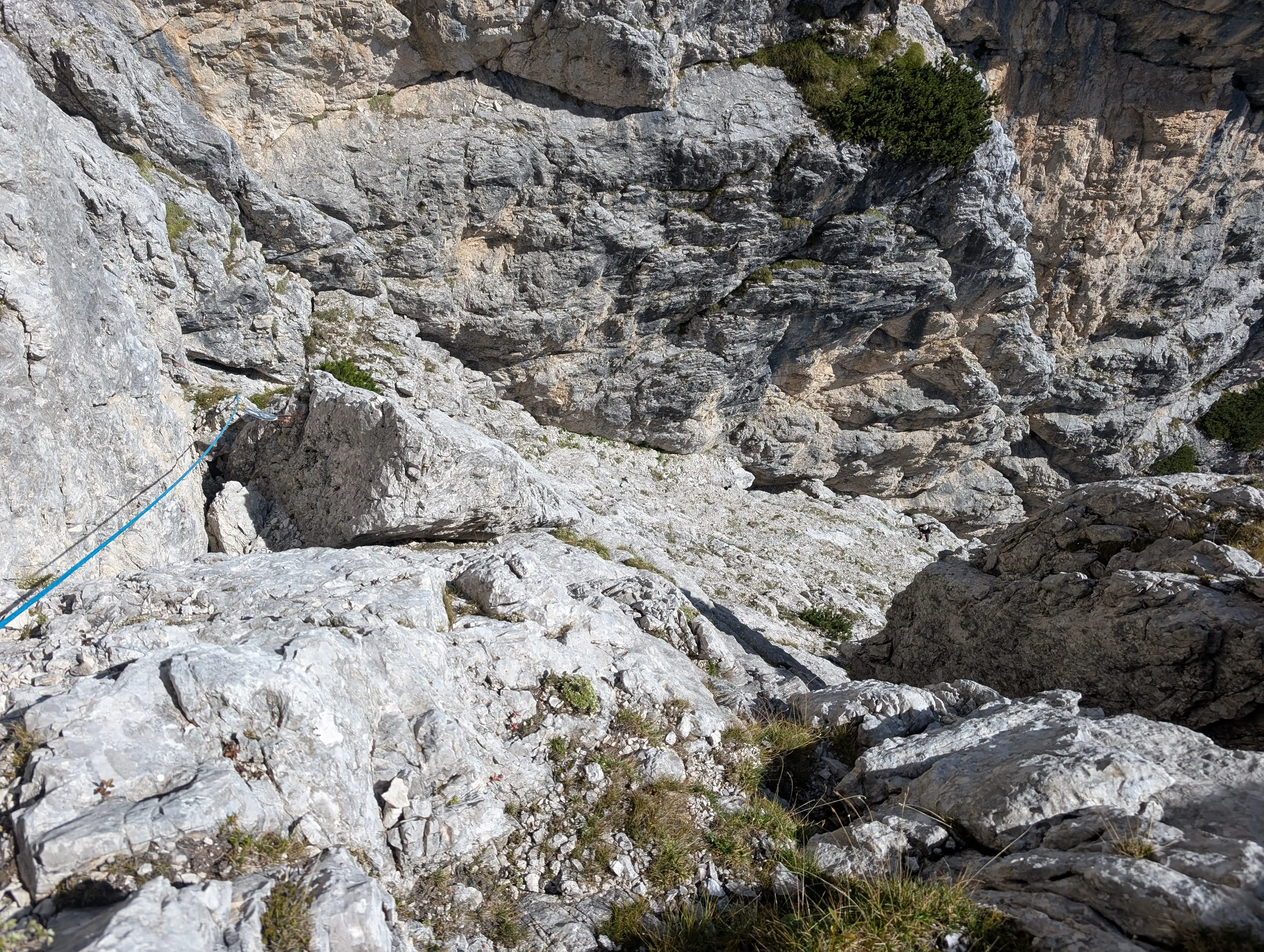 View from fifth belay on the ramp that we turned left as described in previous photo.
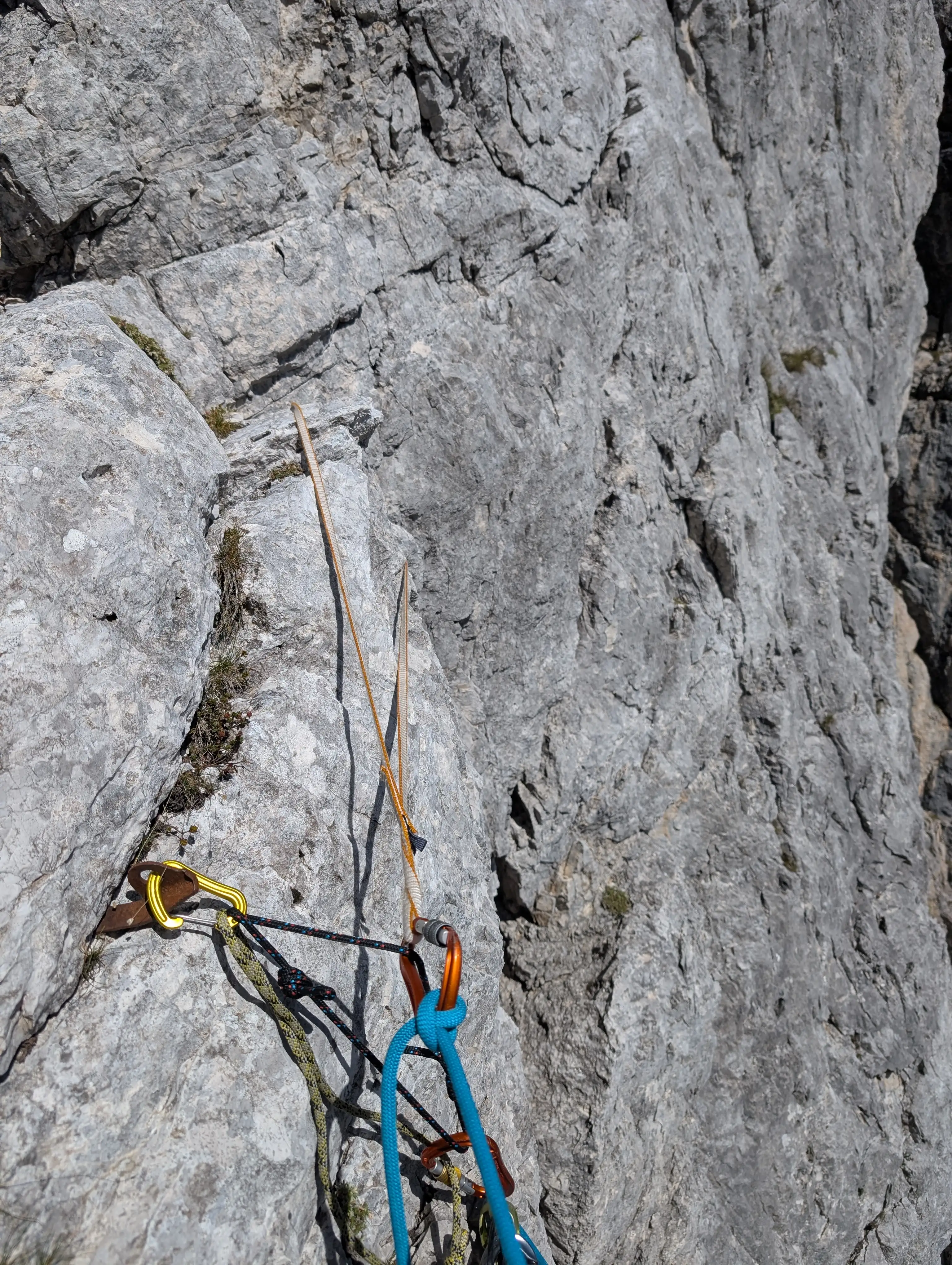 State of the fifth belay is rather questionable, yellow loop is clipped to the other pitton but the terrain helps here a bit.
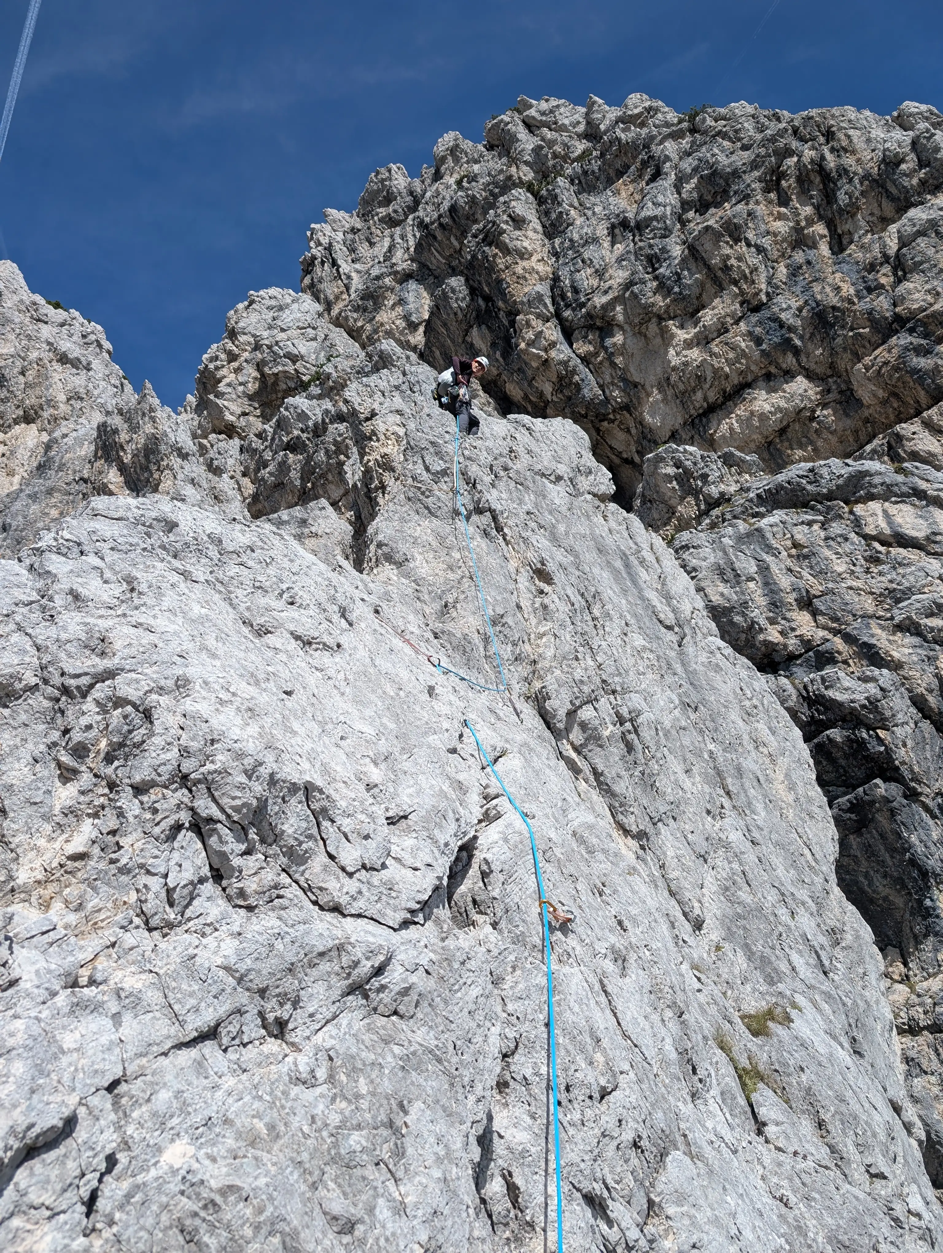 Crux of the route, first up that crack to the lowering in the ridge, then on its edge.
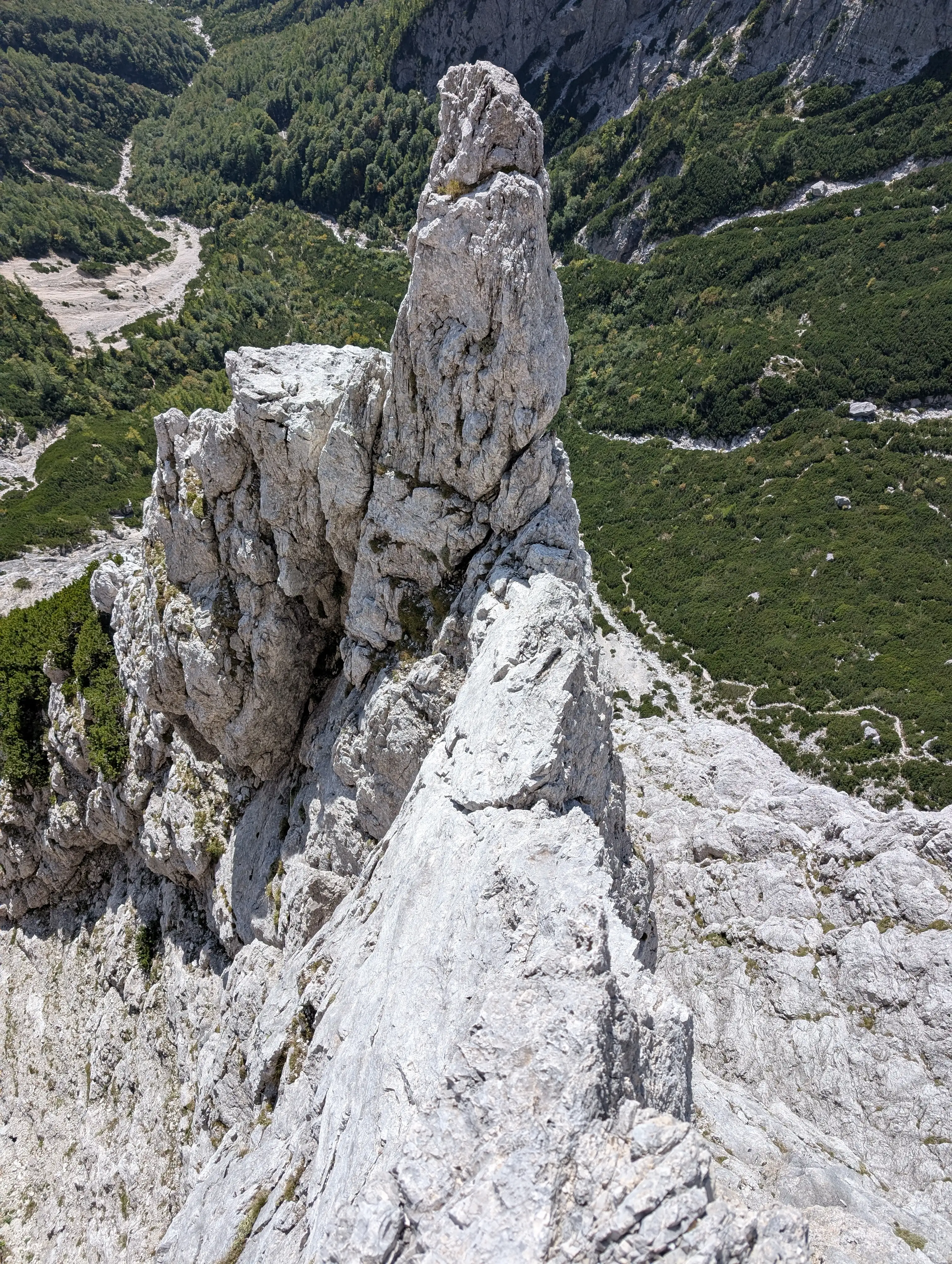 A view back on the ridge and location of fifth belay below that rocky tower. Highlight of the route, good rock and exposition.
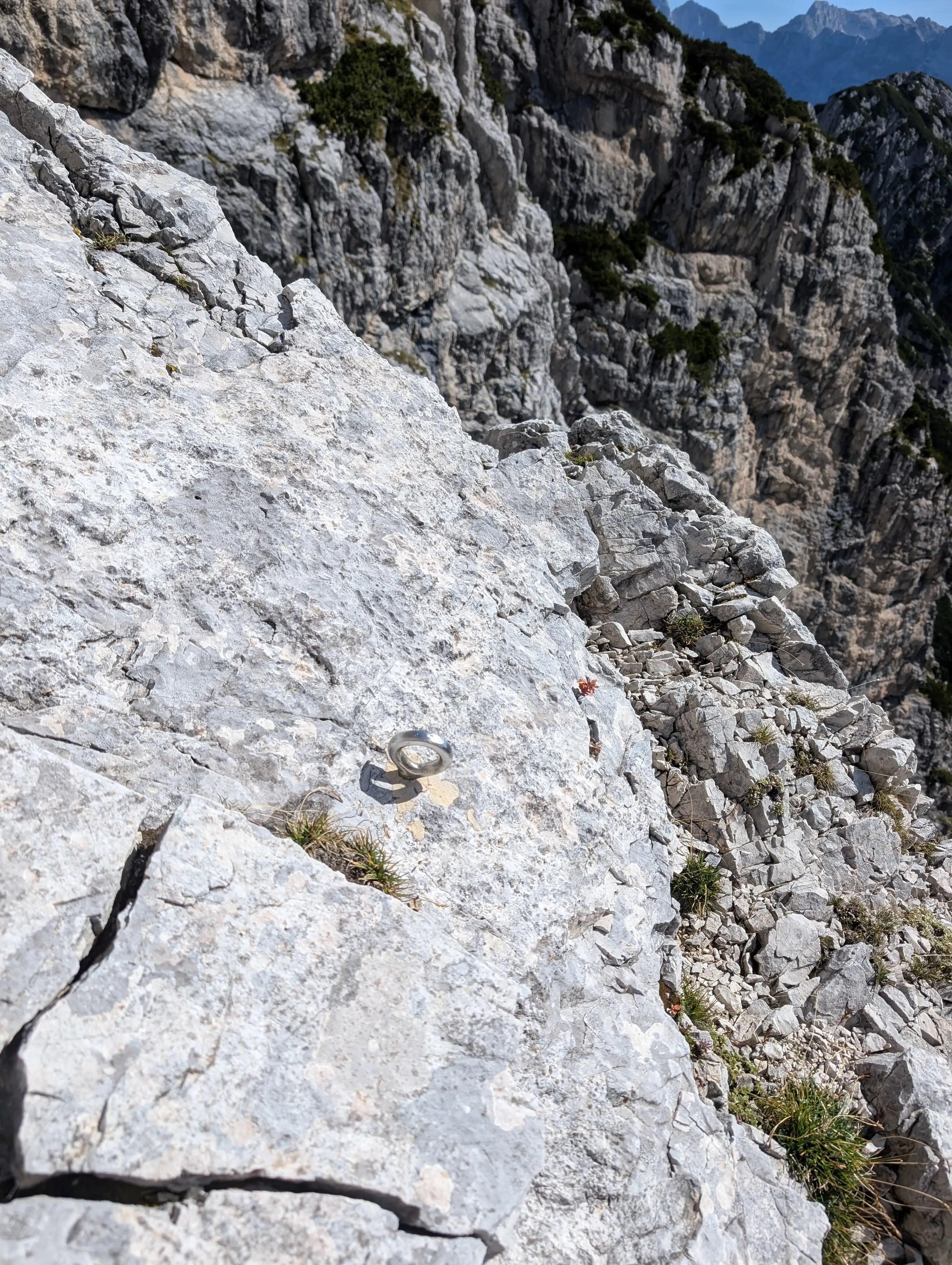 Abseil ring can be used as next belay, however we setup one a bit above.
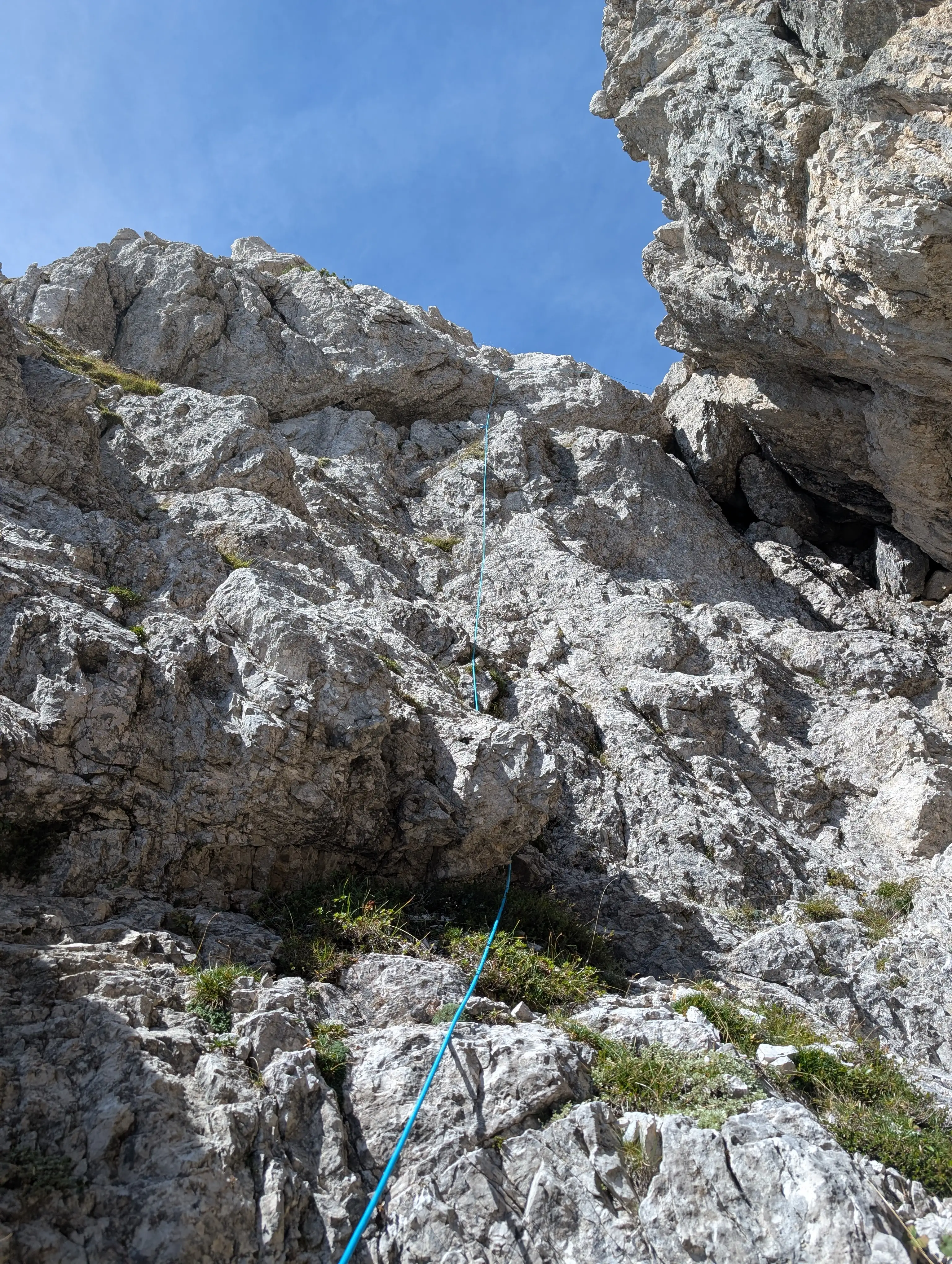 Terrain in the sixth pitch, enjoyable climbing.
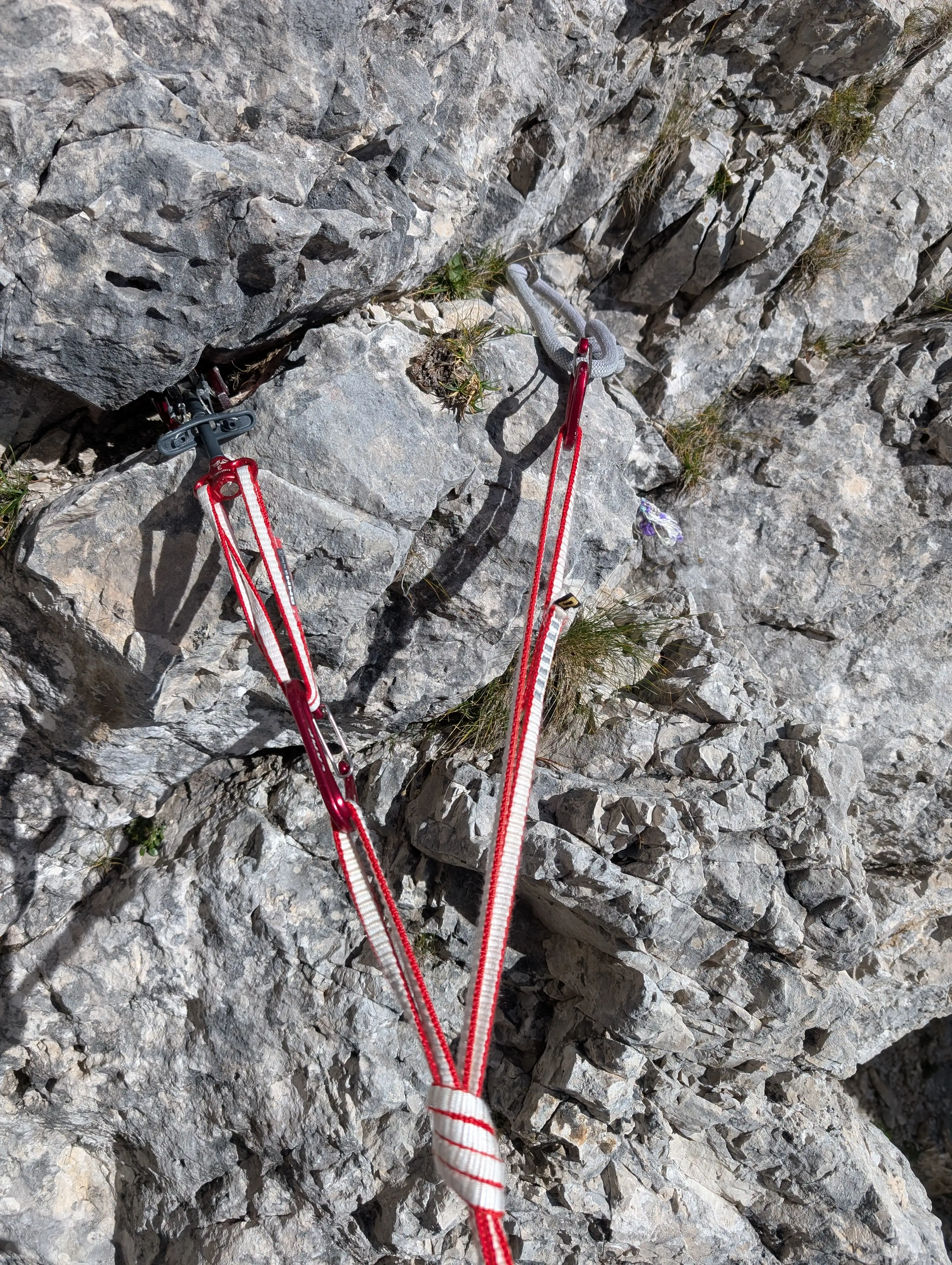 State of seventh belay, only one pitton in place.
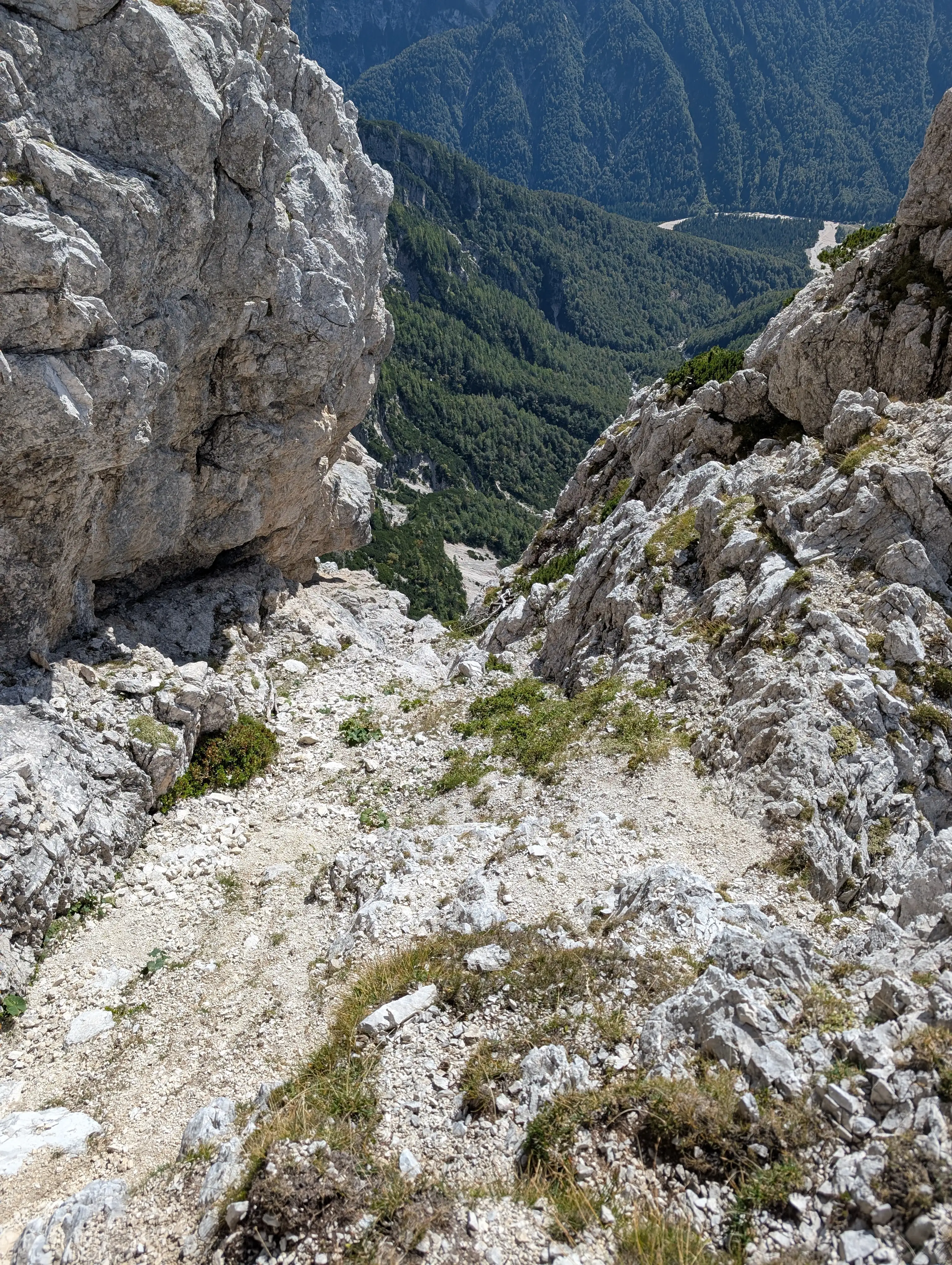 Seventh pitch is when you can put on ascent shoes back again as it is very crumbly.
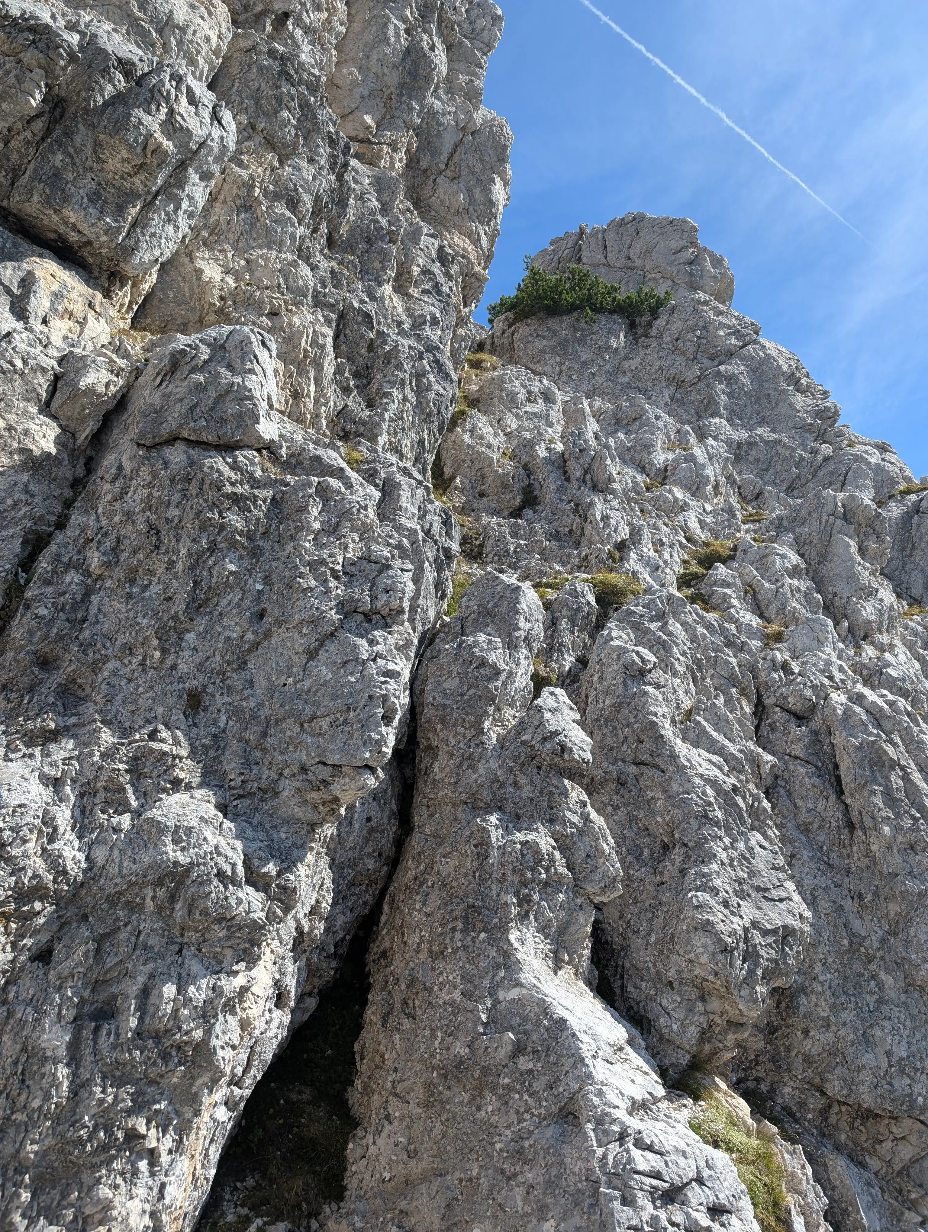 Also exit chimney won't give you much troubles even in descent shoes.
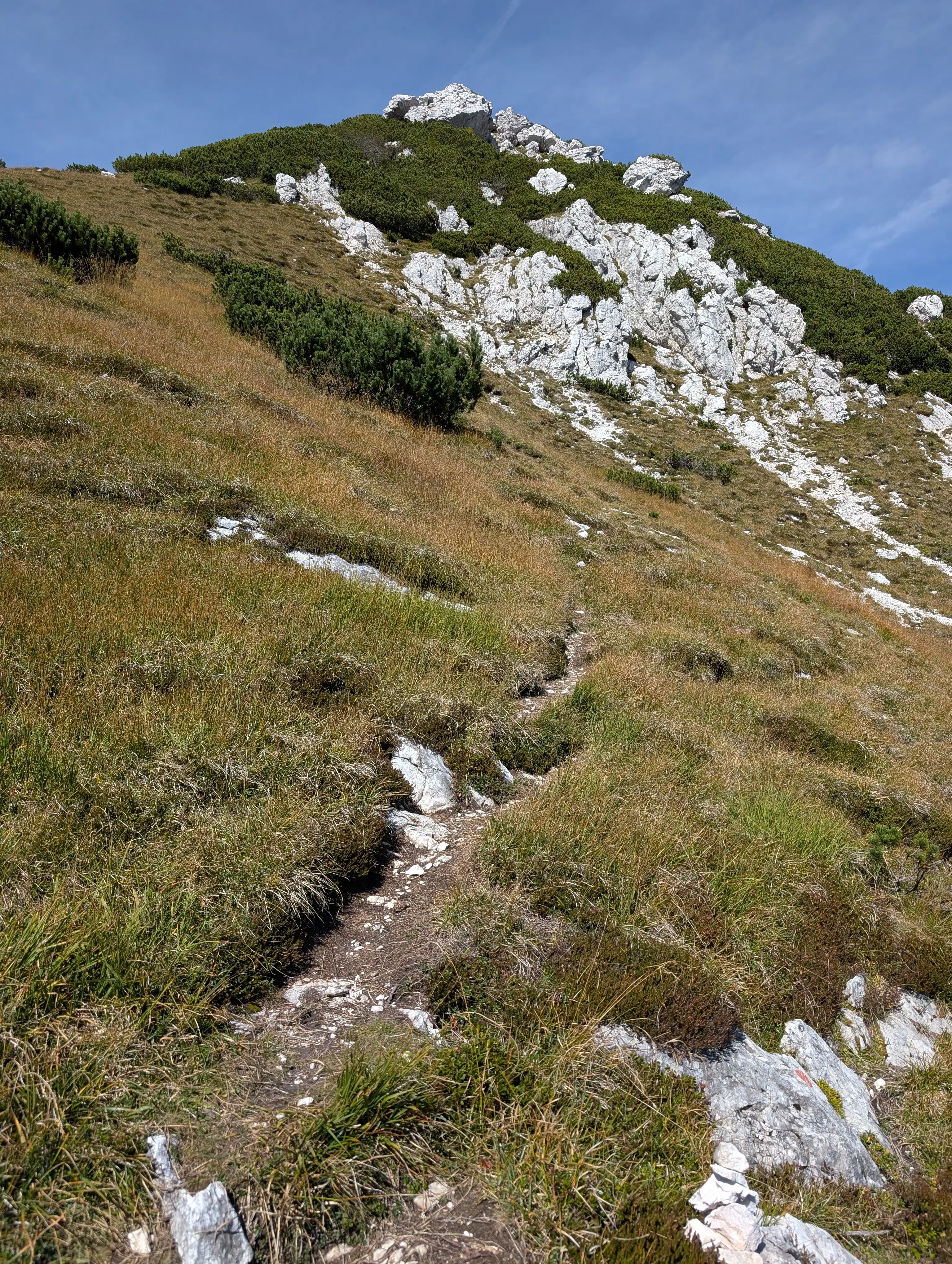 We are back in grassy terrain, now only couple of minutes and about 100 meters up. Exit path will join the normal route to the top.
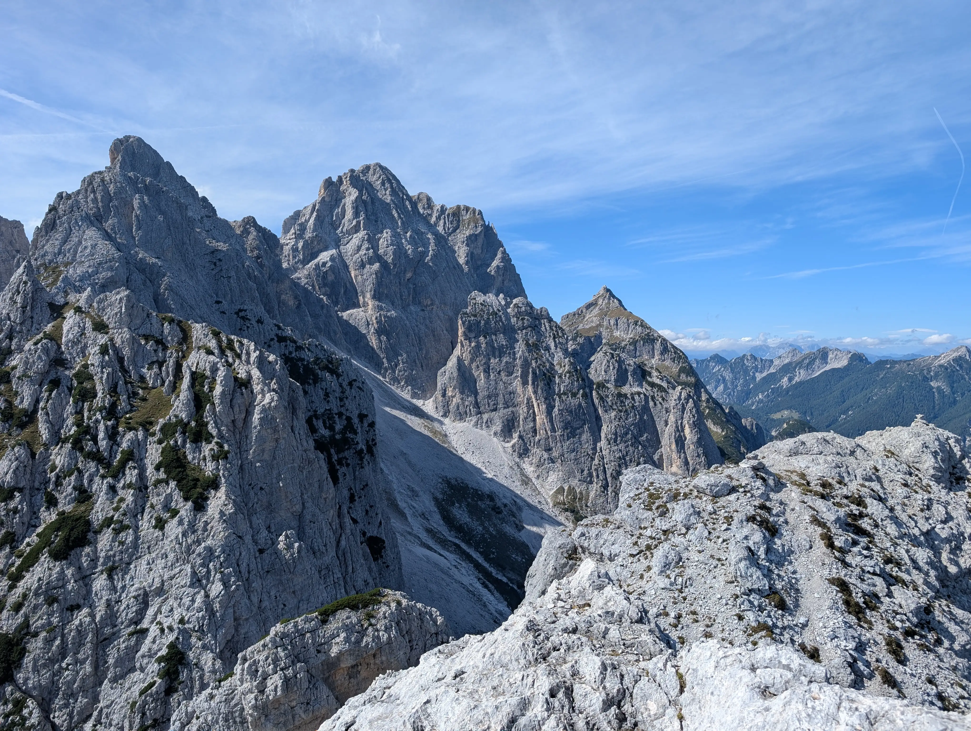 Views from the peak of Veta Bella in the direction of Jôf Fuart peaks group.
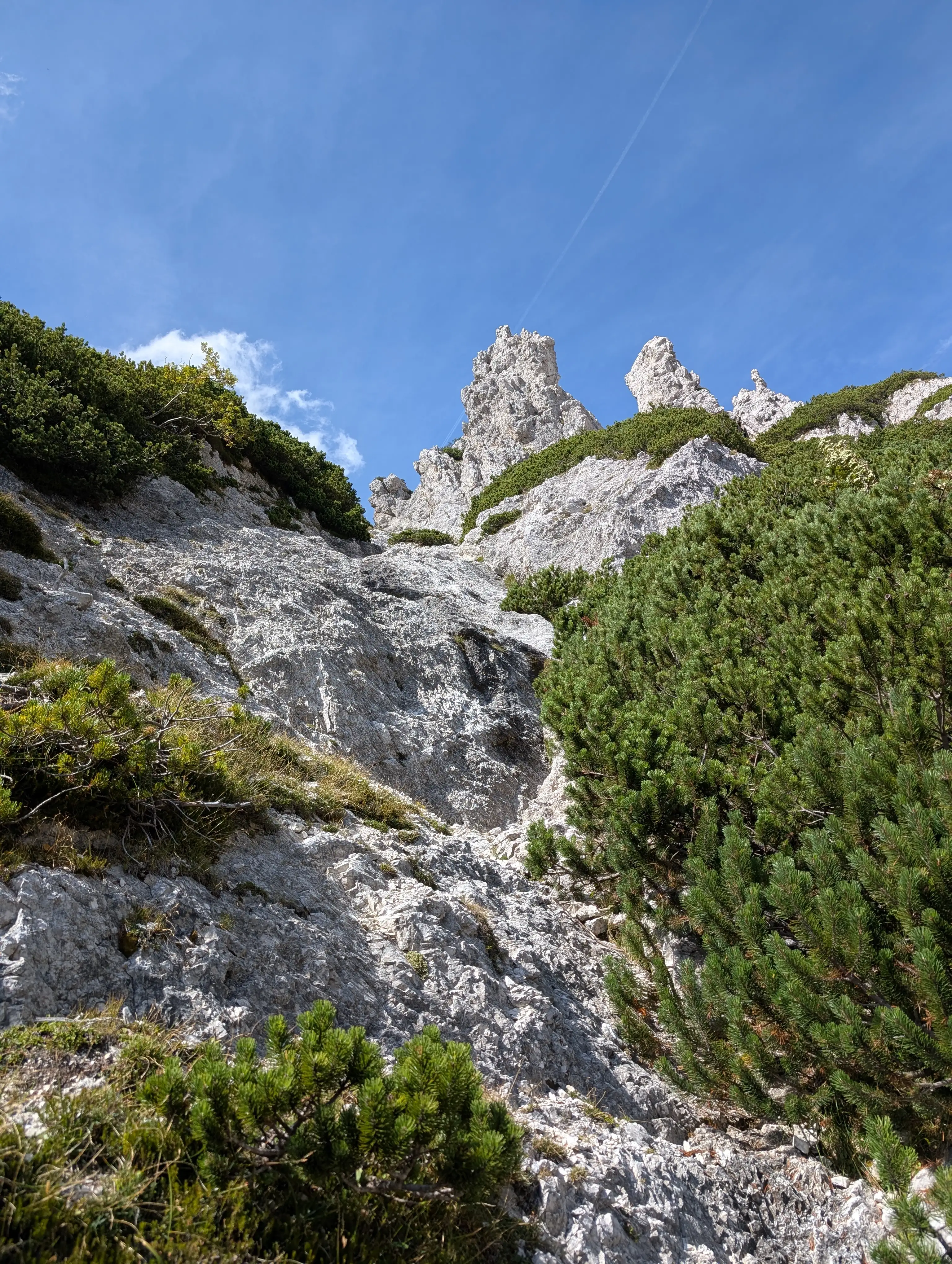 Typical terrain in normal route, lots of caution is needed because the path is rather slippery.
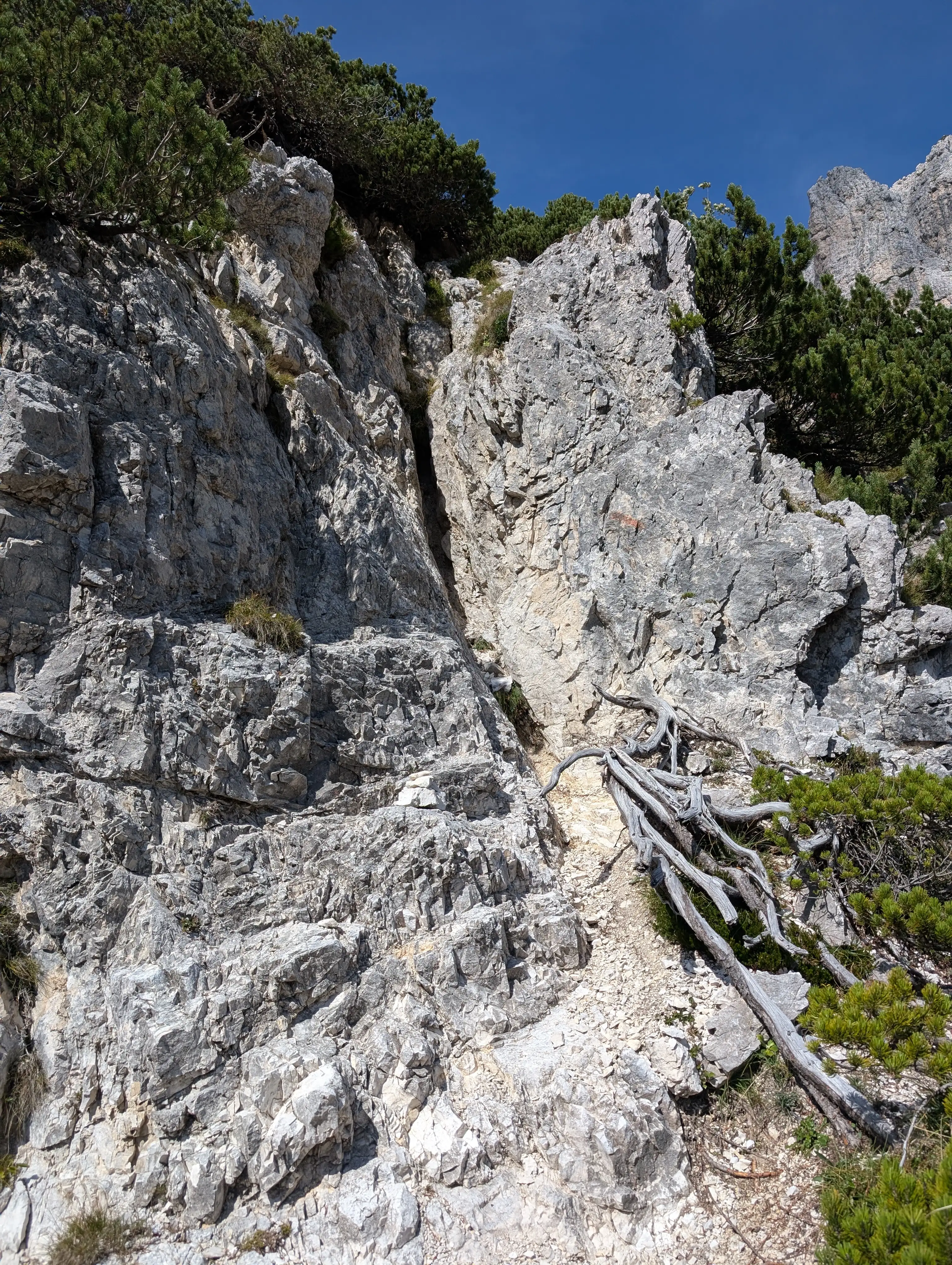 More technical chimney, I believe that's the spot with II climbing grade, usage of hands is necessary. Note the faded trail marking on the rock.
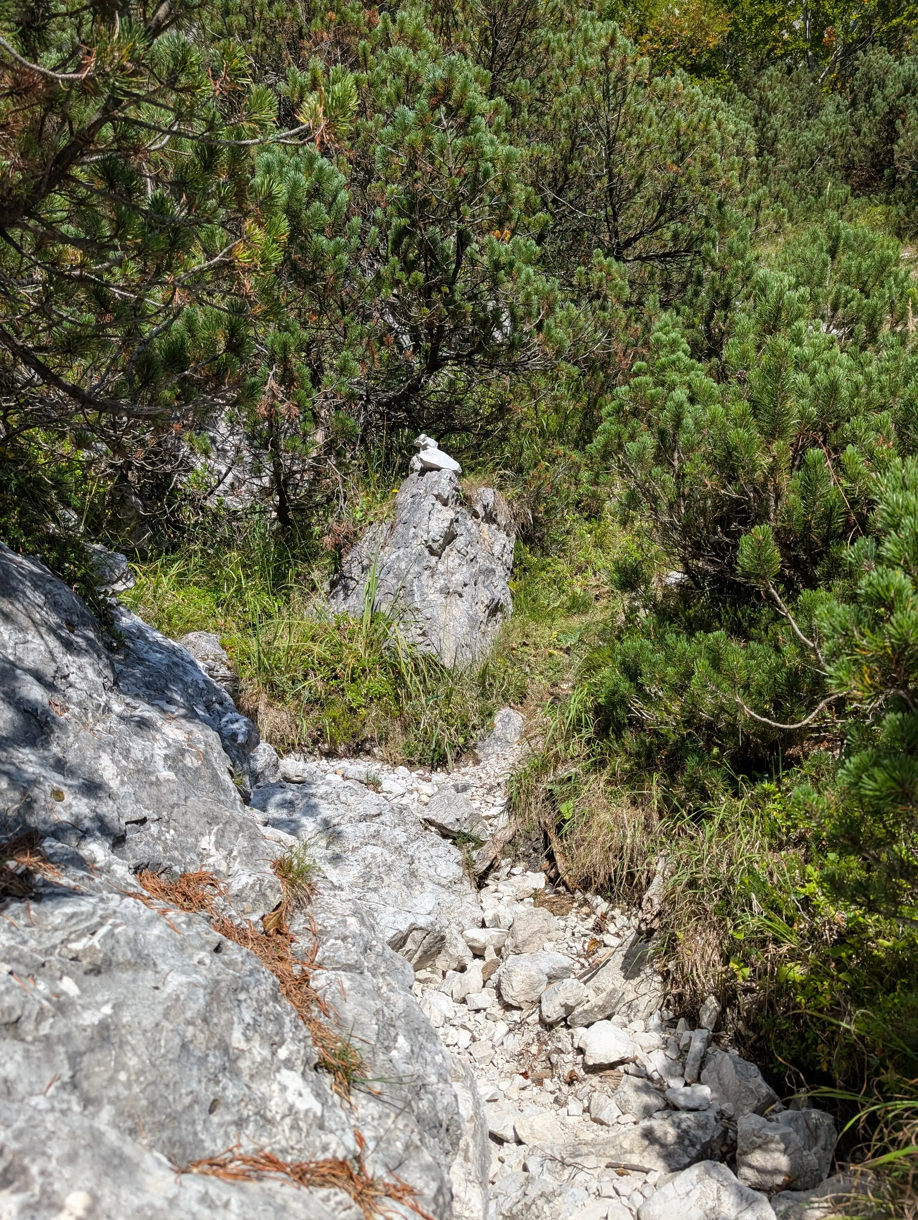 Normal route in lower parts marked with cairn.